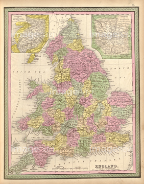
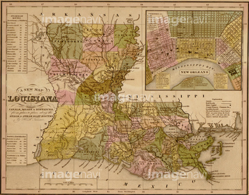
HOME > ژتگ^ > ڈو‚蕨پEŒً’ت > Œً’تƒCƒپپ[ƒW > ’nگ}
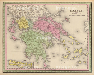
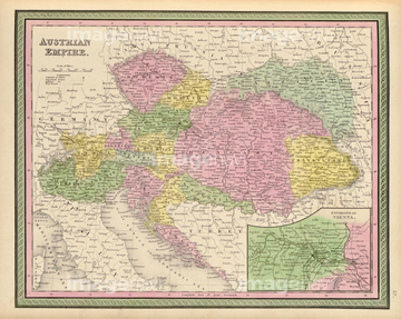
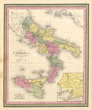
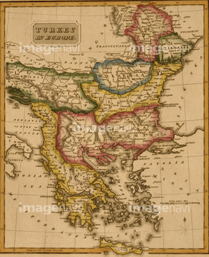
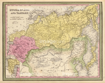
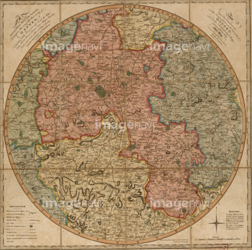
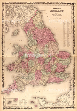
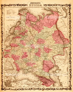
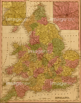
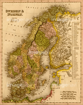
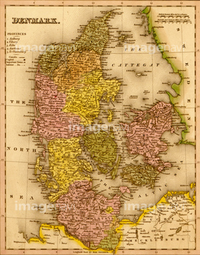
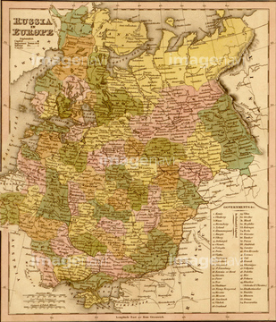
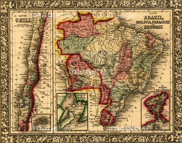
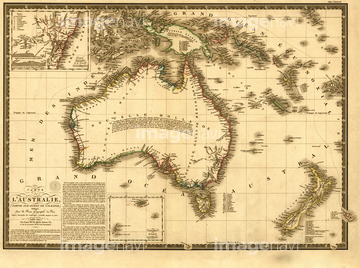
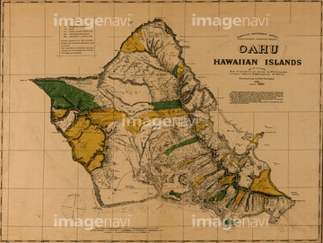
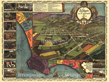
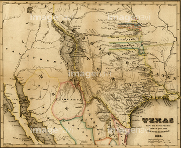
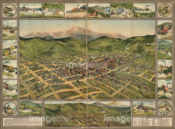
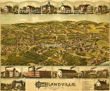
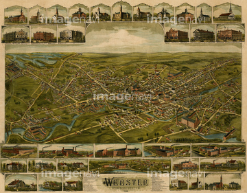
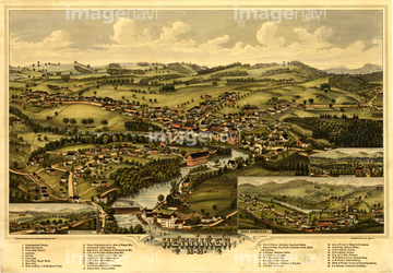
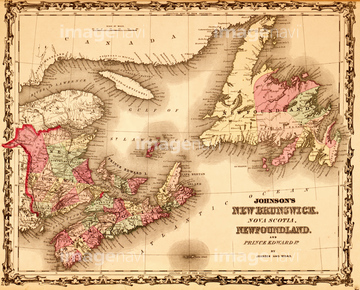
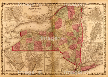
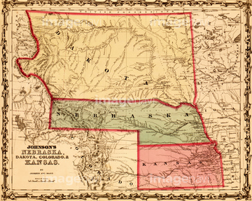
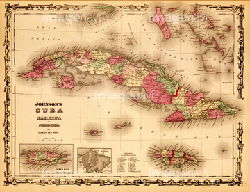
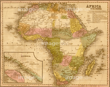
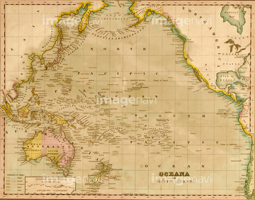
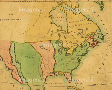
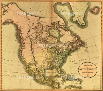
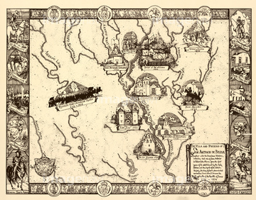
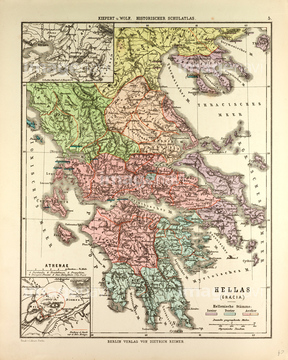
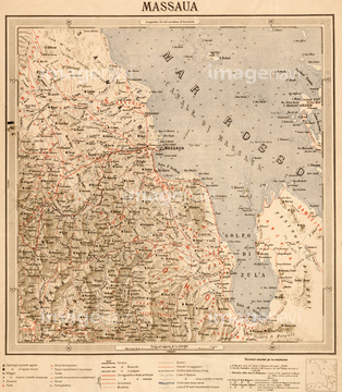
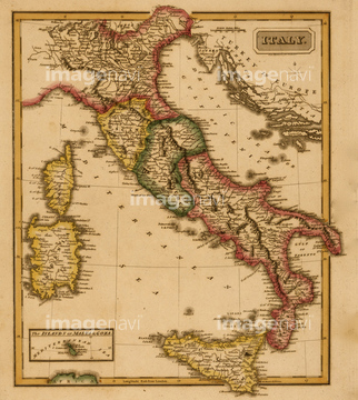
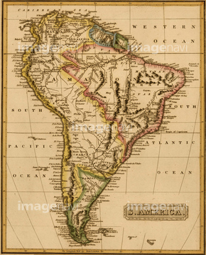
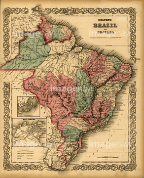
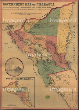
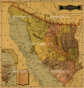
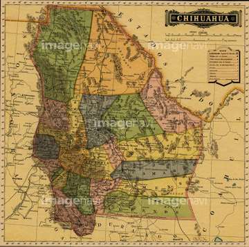
10,000Œڈ‚جژتگ^‘fچق‚ھŒںچُ‚³‚ê‚ـ‚µ‚½پB
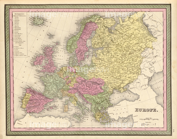
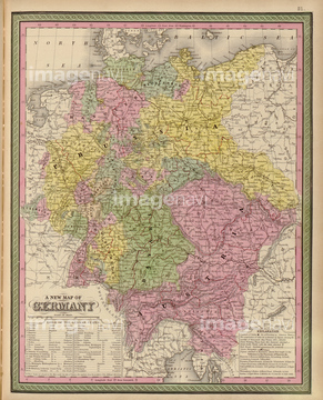
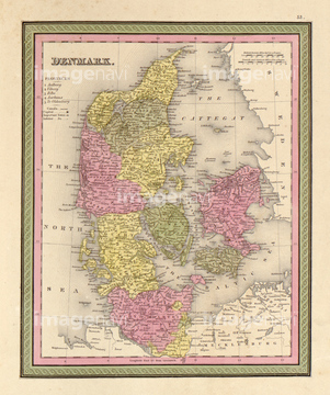
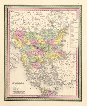
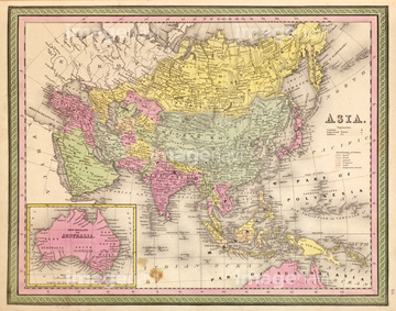
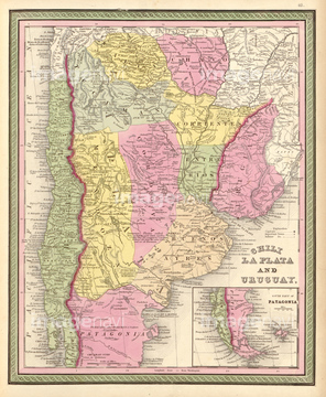
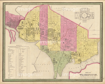
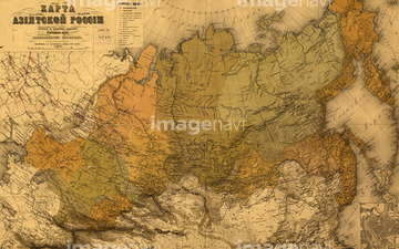
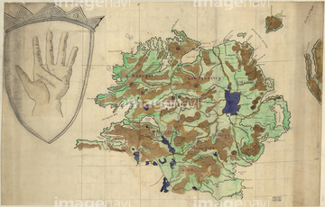
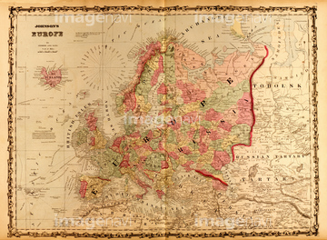
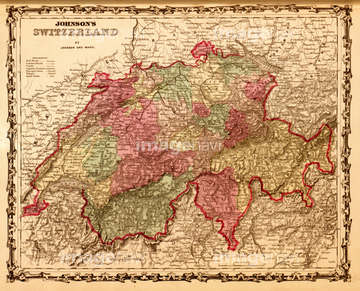
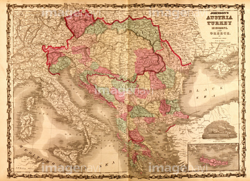
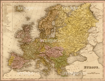
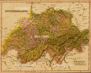
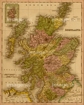
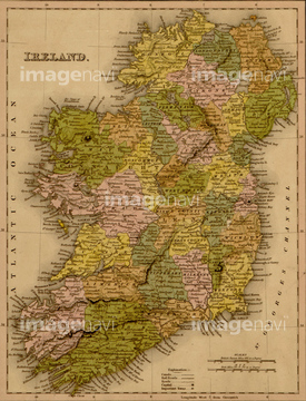
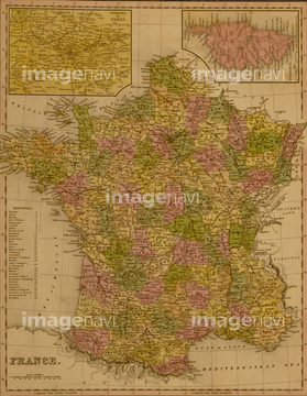
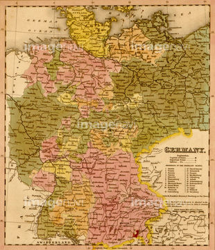
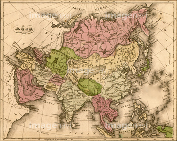
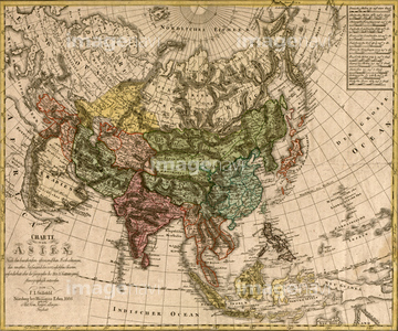
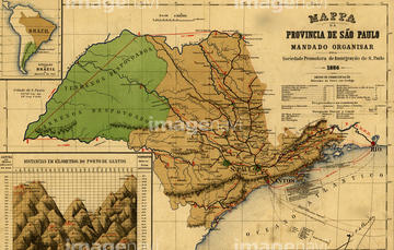
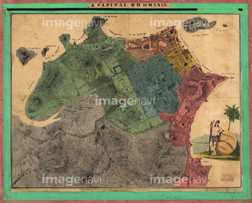
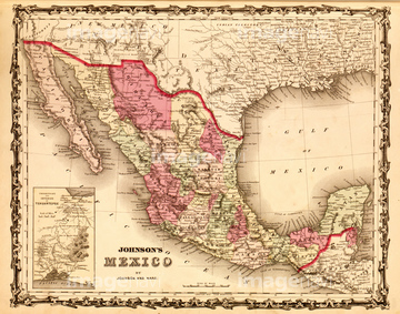
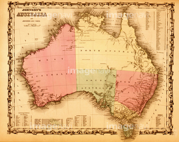
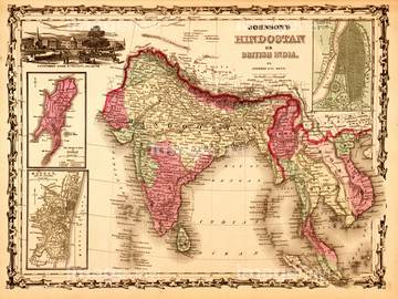
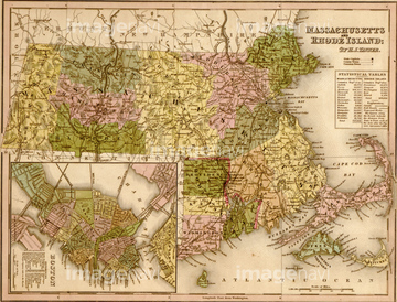
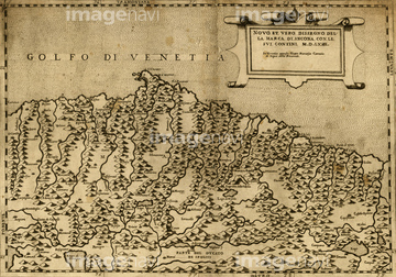
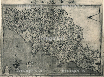
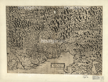
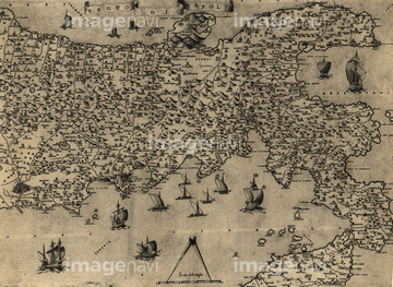
‚±‚جŒںچُŒ‹‰ت‚ة‚حپAImperial Map of Russia - 1890پAPlan of Vladavostok - 1918پASettlement of the Issuri Region of Russia - SiberiپcپAUlster - Ireland - 1885پAEurope 1862پASwitzerland 1862‚ب‚ا‚ھٹـ‚ـ‚ê‚ؤ‚¢‚ـ‚·پB
51436350
51435905
51435903
51436338
51436346
51436333
51436343
51436344
51436345
51436347
51435768
51436352
51436334
51436335
51436336
51436337
51436340
51436342
51436348
51436351
51436357

51435747

51436339
51436341

51436349
51436326
51436331
51436353
51436359

51435831
51435893

51422943

51422944

51436355
51436358
51472437
51436356
51436328


51436420

51422942
51435833
51435912
51436332

51436419
51436418
51436208

51436216

51436223

51436288
51435826
51435835
51435840
51435888
51435900


51437221

51436354
51435742

51435752
51435827
51435830
51435889
51435890
51435891
51435892

51435894
51435895
51435896
51435897
51435907


51435781
51436086
51436087
51436090
51436091
51436092
51436093
51436095
51436096
51436098
51436099
51436100

51436102
51436106
51436108
51436164

51436304
51436305
51436311

51436371
51436394

51436633


51436663

51436699
51435542
51435555
51435668
51435672
51435675
51435680
51435685

51435692
51435693
51435706
51435810
51435815

51435821
51435823
51435824
51435841
51435844
51435853
51435854
51435855
51435858
51435861
51435862
51435863
51435864
51435869
51435876
51435886
51435906
51435913
51436000
51436004
51436034
51436409
51435765

64055079

64055083

51436112

51436182


51436234
51436235
51436236
51436237

51436398

51472435

51436298
51435767


51435778


51422778
51436059
51436073
51436081
51436082
51436083
51436084
51436085
51436088
51436089
51436097
51436101
51436103
51436104
51436109
51436110
51436159
51436320
51436322
51436330
51436374
| ژںƒyپ[ƒW |
