HOME > ژتگ^ > ڈو‚蕨پEŒً’ت > Œً’تƒCƒپپ[ƒW > ’nگ}
10,000Œڈ‚جژتگ^‘fچق‚ھŒںچُ‚³‚ê‚ـ‚µ‚½پB
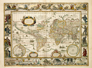
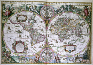
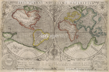
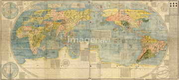
‚±‚جŒںچُŒ‹‰ت‚ة‚حپAIreland - 1665پAAsia - 1700پAChina - 1700پAPortugal - 1650پAEurope 1600پAAmerica 1600‚ب‚ا‚ھٹـ‚ـ‚ê‚ؤ‚¢‚ـ‚·پB

51436380

64055076

64055082

51435746


64052702

51435740


64055079

64052691

64055073

51435745

51436381
51437218
51437220

51436390

64052698
64082631
64082632
64082639
64082665
64082667

51430900

51411444

51435744
51495010


51437221

51435741

51435928

51435939


51436021

51436026

51436074

51436111

51436112

51436129

51436130

51436153


51436158

51436166

51436182

51436287

51436290

51436315

51436319

51436398

51436414

51405941

51405946

51410014

51410015

51410019

64055077

64052692
51436241
51436392

51435535

51435722

51435723

51435730

51435739

51411445

51411446

51411447

51411453

51411454

51411455

51411456

51411466

51411467

51411469

51411470

51411503

51411516

51435724

51435725

51435731

51435735

51411448

51411457

51411459

51411468

51411505

51411506

51411508

51411509

51411513

51411523

51411524

51436143


51411449

51411452


51411461

51411462

51411464

51411465

51411502

51411504

51411511

51411512


51411517

51411518

51411519

51411520


64083427

51435748
40560935
40560985


64055081

64055083

51435807


51430883
51430901


51424032
51430890


51435558

51435559

51435560

51435561

51435562

51435565

51435662
51435704

51435720

51435721

51435726

51435727

51435728

51435729


51435734

51435738

51435747

51435917


51435921


51435924

51435925


51435929

51435930

51435931


51435937

51435938


51436137

51436139

51436174


51436205
51436206

51436293

51436308
51436317

51436391

51436648
| ژںƒyپ[ƒW |
