HOME > ژتگ^ > ڈو‚蕨پEŒً’ت > Œً’تƒCƒپپ[ƒW > ’nگ}
10,000Œڈ‚جژتگ^‘fچق‚ھŒںچُ‚³‚ê‚ـ‚µ‚½پB
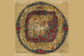
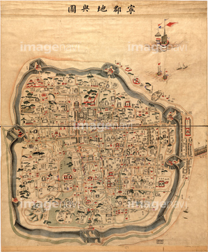
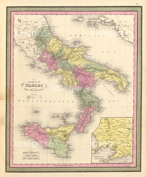
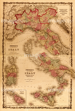
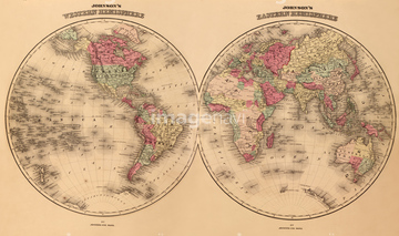
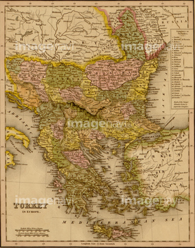
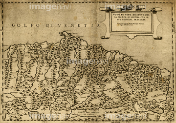
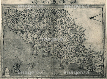
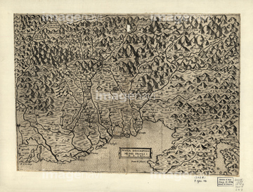
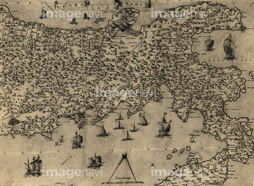
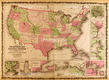
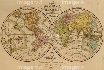
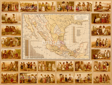
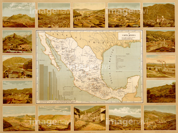
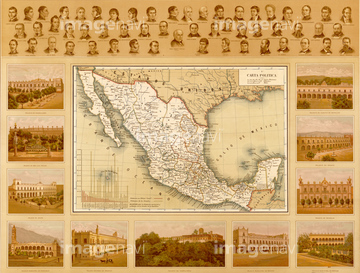
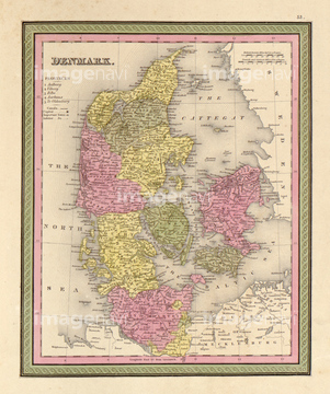
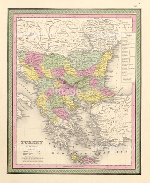
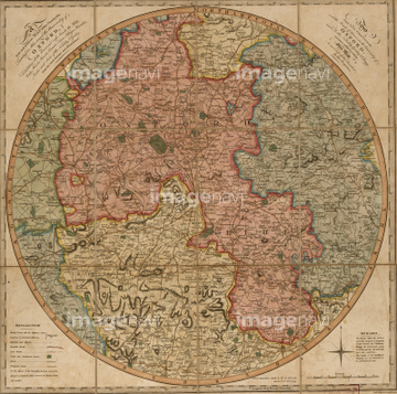
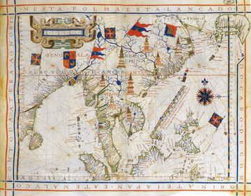
‚±‚جŒںچُŒ‹‰ت‚ة‚حپATurkey - Greece - 1844پAEthnographic Map of Europe 1848پAAncona Italy - 1568پATuscany - 1568پAFruili - 1568 1557پANaples - 1568‚ب‚ا‚ھٹـ‚ـ‚ê‚ؤ‚¢‚ـ‚·پB

51430889
51435545
51436347

51436216


51435833
51435912
51436346

64055079

51435831
51435893
51435905
51436338
51436350


51436223


51417275

51435555


51435929

51411456
51405220
51417165

51430884

64055077
51436409
51435903

51436264
51436234
51436235
51436236
51436237

51422778

51422780

51422774


51435826
51435835
51435840
51435888
51435900
51436208
51436288
51436333
51436343
51436344
51436345
51436352
51436244


51436359


51436182


51436405


51423095


51405937

51437221

51411461
51435767
51436298

51422887

51436651
51435846
51435709
51435712
51435714
51436584
51436283
51435548

64052655

64052692

64055078

51417134

51405939

51422943

51422944

51436402
51436284

51435751
51435765


51435752
51435827
51435830
51435889
51435890
51435891
51435892

51435894
51435895
51435896
51435897
51435907
51436334
51436335
51436336
51436337

51436339
51436340
51436341
51436342
51436348

51436349

51435781


51436420

51436419
51435542
51435668
51435672
51435675
51435680
51435685

51435692
51435693
51435706
51435810
51435815
51435821
51435823
51435824
51435841
51435844
51435853
51435854
51435855
51435858
| ژںƒyپ[ƒW |
