HOME > ژتگ^ > ڈو‚蕨پEŒً’ت > Œً’تƒCƒپپ[ƒW > ’nگ}
10,000Œڈ‚جژتگ^‘fچق‚ھŒںچُ‚³‚ê‚ـ‚µ‚½پB
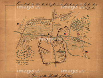
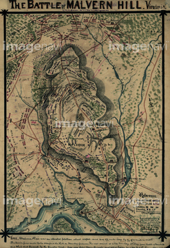
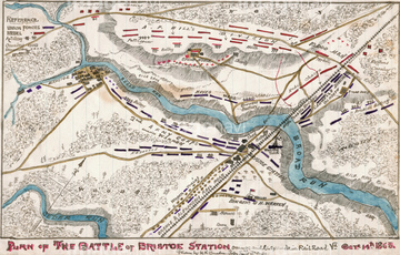
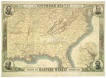
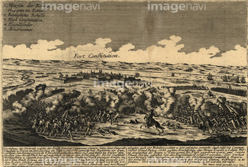
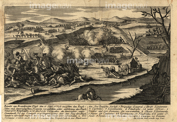
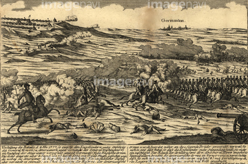
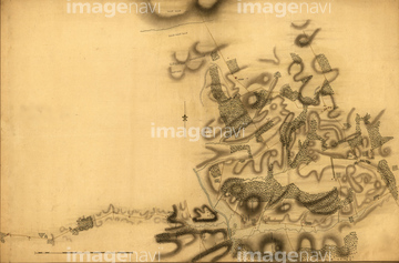
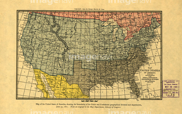
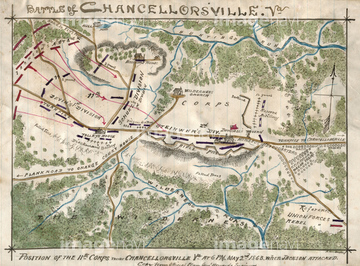
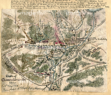
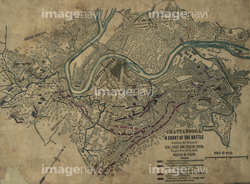
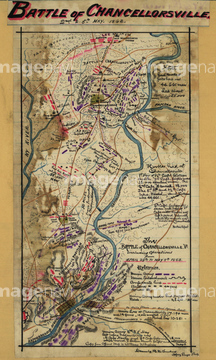
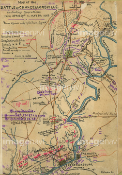
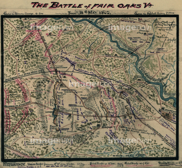
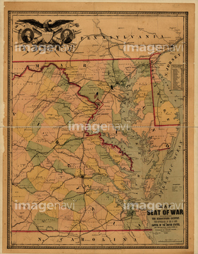
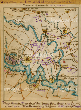
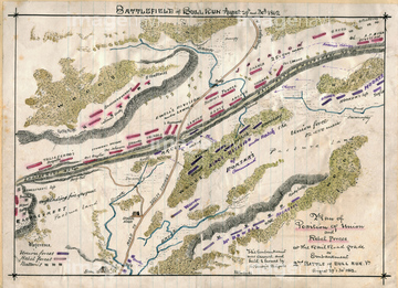
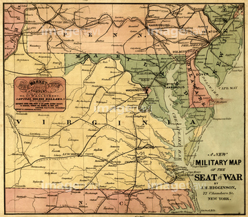
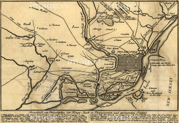
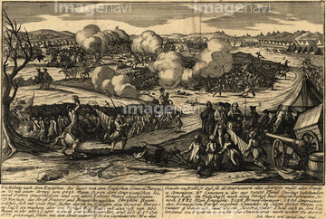
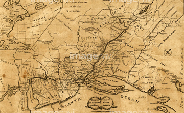
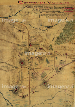
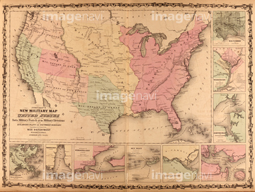
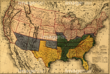
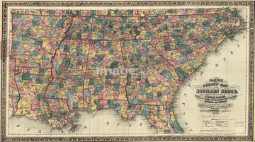
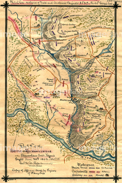
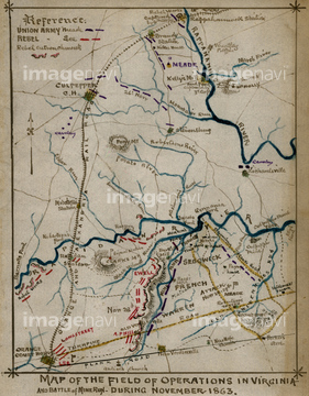
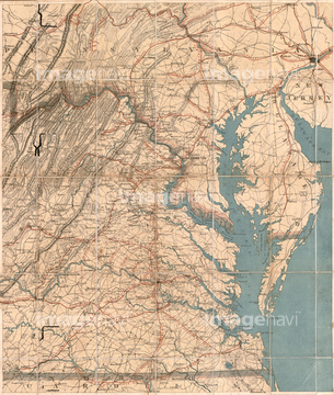
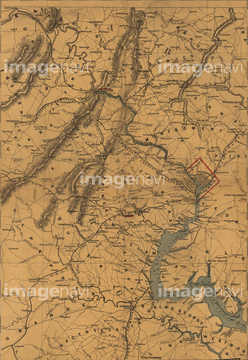
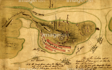
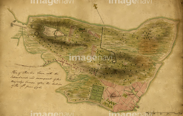
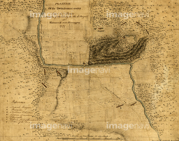
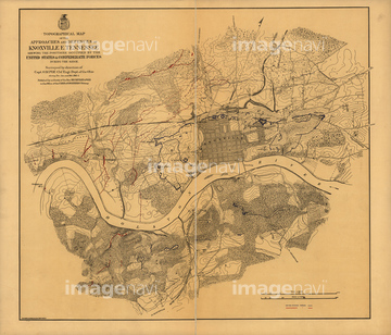
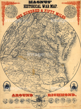
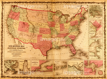
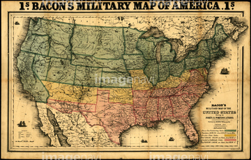
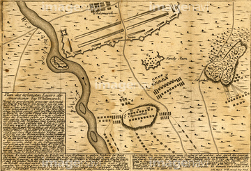
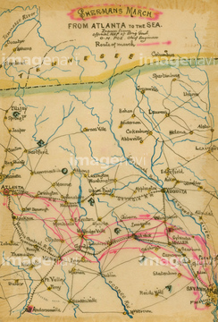
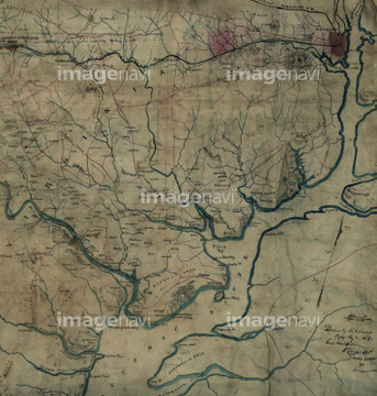
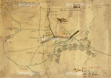
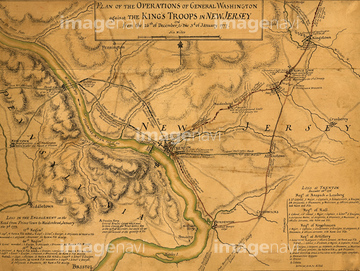
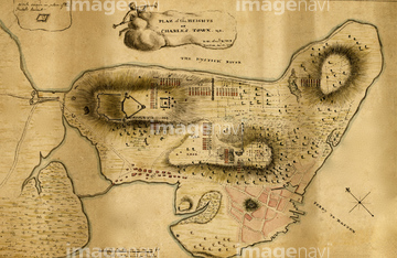
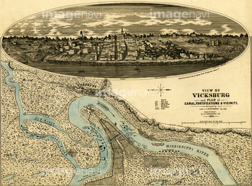
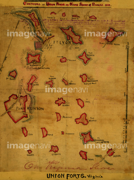
‚±‚جŒںچُŒ‹‰ت‚ة‚حپABattle of Long Island - 1776پABattle of Long Island - 1777پABattle of Bunker Hill - 1775پAUSA - 1861پABattle of Chancellorsville 1863پABattle of Chattanooga 1863‚ب‚ا‚ھٹـ‚ـ‚ê‚ؤ‚¢‚ـ‚·پB
51436507
51436500
51436577
51436464
51436471
51436485
51436033
51436543
51436468

51436911
51436912
51437063

51437064
51436425
51436429
51437090
51436884
51436885
51436886
51436887
51437153
51436686
51436430
51436434
51436436
51436433
51436435
51436487
51436540
51436421
51436503
51436542
51436904
51437082
51436899
51436602
51437069
51436457
51436431
51436459
51436524
51436448
51436584

51437084
51436874
51436908
51436913
51437076
51437102
51437120
51437137
51437141
51437142
51436470
51436538
51436568
51436149
51436478
51437143
51436446
51436572

51436875
51436902
51436906
51437075
51437077
51437078
51437079
51437096
51437110
| ژںƒyپ[ƒW |
