HOME > ژتگ^ > ڈو‚蕨پEŒً’ت > Œً’تƒCƒپپ[ƒW > ’nگ}
10,000Œڈ‚جژتگ^‘fچق‚ھŒںچُ‚³‚ê‚ـ‚µ‚½پB
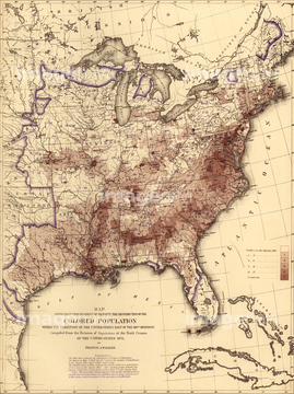
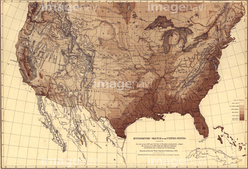
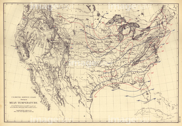
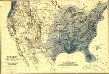
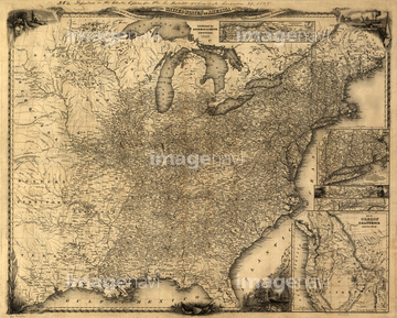
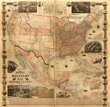
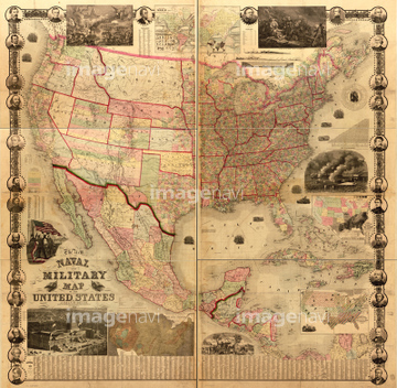
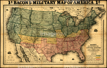
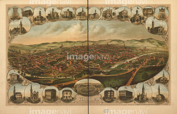
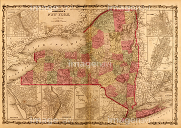
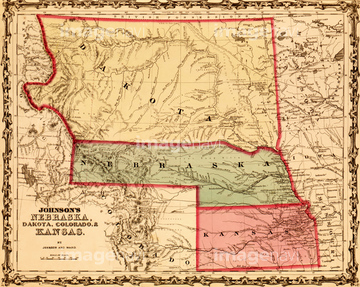
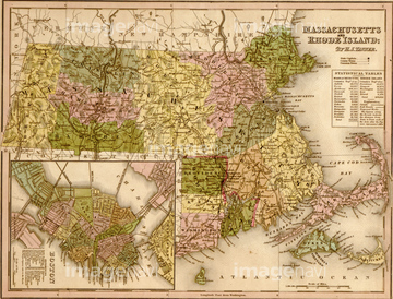
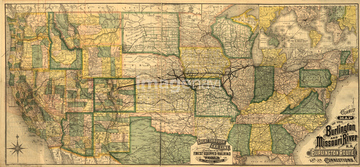
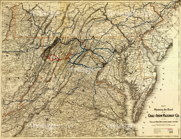
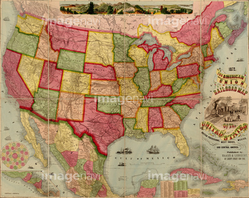
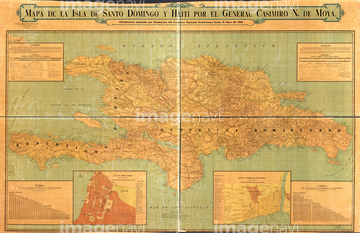
‚±‚جŒںچُŒ‹‰ت‚ة‚حپAJefferson, Wisconsin 1870 1870پAMap of the southern states with insets of Lincoln,پcپAPort Royal Railroad - 1870پARoad Map of the Eastern States - 1856پADayton, Ohio 1870 1870پAAkron, Ohio 1870 1870‚ب‚ا‚ھٹـ‚ـ‚ê‚ؤ‚¢‚ـ‚·پB


51435781


51436841
51436631
51435742

51435859
51435867
51435870

51435872

51435873
51435879
51436001

51436419

51436420

51436651
51435804
51435852
51435608
51436838
51435631

51435633
51435645
51436619
51436565

51435855
51435858
51435861
51435862
51435863
51435864
51435869
51436000
51436004
51436034
51436663
51435668
51435672
51435675
51435680
51435685

51435692
51435693
51435706
51435815
51435821
51435853
51435854

51422778

51436628
51436059
51436073
51436081
51436083
51436084
51436085
51436088
51436089
51436097
51436101
51436103
51436104
51436109
51436110
51436642
51435809
51435811
51435847
51436814


51436500
51436022

51436539
51436807
51436737
51436774

51436808
51436347

51436349

51436421
51436464
51436471
51436485
51436503
51436547
51436706
51436728
51436738
51436755
51436775
51436788
51436795
51436796
51436797
51436826
51436828
51436829
51436830
51430889
51436082
51436086
51436087
51436090
51436091
51436092
51436093
51436095
51436096
51436098
51436099
51436100

51436102
51436106
51436108
51436326
51436699
| ژںƒyپ[ƒW |
