HOME > ژتگ^ > ڈو‚蕨پEŒً’ت > Œً’تƒCƒپپ[ƒW > ’nگ}
10,000Œڈ‚جژتگ^‘fچق‚ھŒںچُ‚³‚ê‚ـ‚µ‚½پB
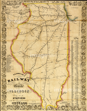
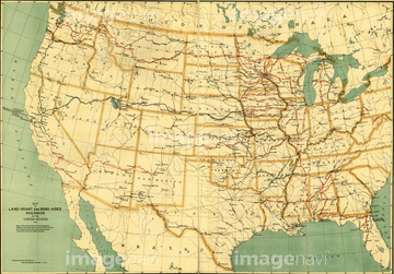
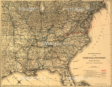
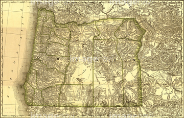
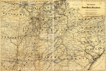
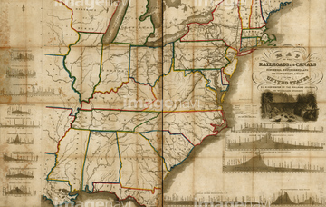
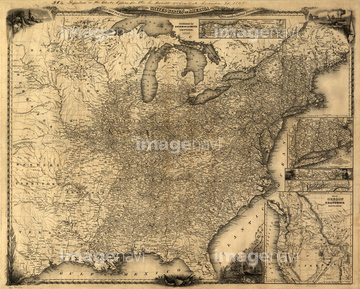
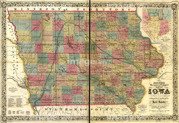
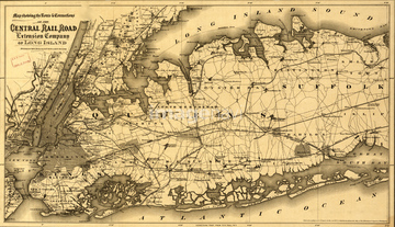
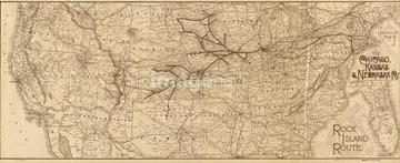
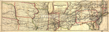
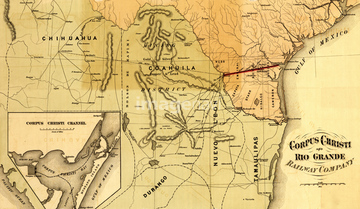
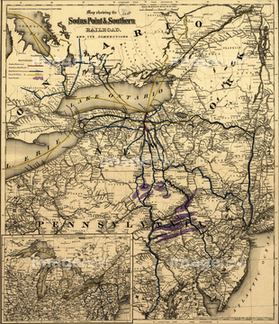
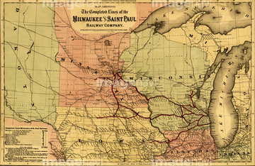
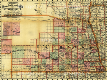
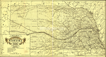
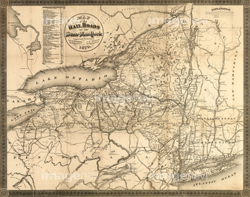
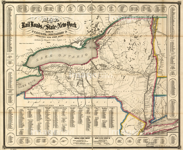
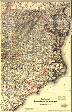
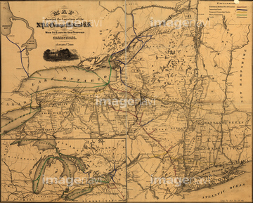
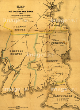
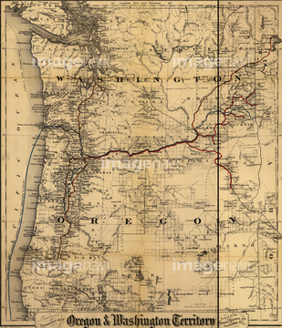
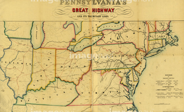
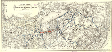
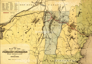
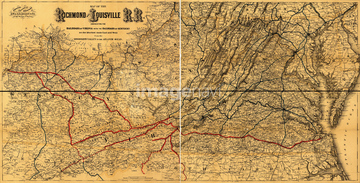
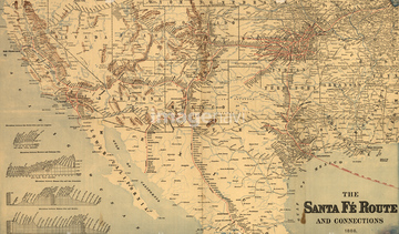
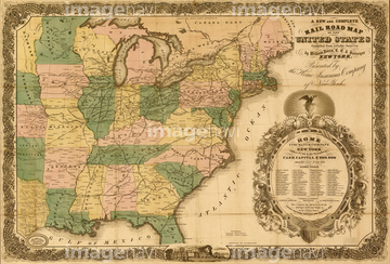
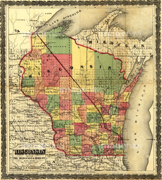
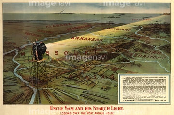
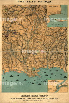
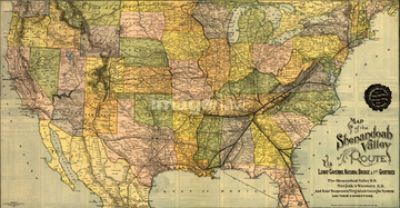
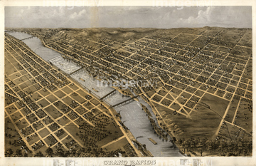
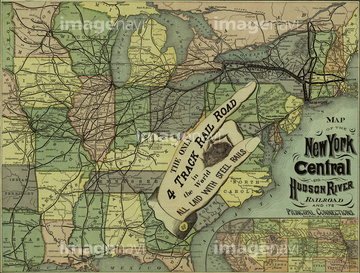
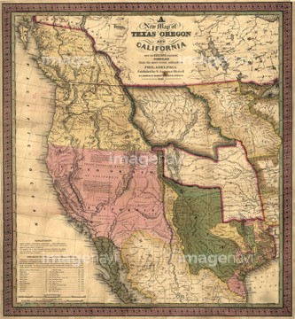
‚±‚جŒںچُŒ‹‰ت‚ة‚حپAland-grant and bond-aided railroads of the United پcپANew Hampshire - 1894پANorfolk & Western Railroad -1887پAOregon - 1876پAPort Royal Railroad - 1870پARailroads and canals, finished, unfinished, and inپc‚ب‚ا‚ھٹـ‚ـ‚ê‚ؤ‚¢‚ـ‚·پB
51436709
51436825
51436766
51436858
51436824
51436826

51436726

51435872
51417225
51435685
51435631
51436755
51436762
51436795
51436796
51436745
51435632

51435633
51436756

51435873
51417227
51417228

51436713
51436717
51436737
51436774

51436808
51436817
51436831
51436838
51436841
51417086
51436113
51436706
51436711
51436721
51436722
51436728
51436730
51436732
51436738
51436752
51436775
51436780
51436788
51436797
51436805
51436806
51436807
51436813
51436814
51436822
51436828
51436829
51436830
51436834
51436837
51436843
51435700
51436028

51436750
51436804
51417117
51913938
51439601
51439602
51439603
51436633


51435781

51436847
51436700
51435619
51435620
51435621
51435622

51436823
51436059
51436073
51436081
51436082
51436083
51436084
51436085
51436086
51436087
51436088
51436089
51436090
51436091
51436092
51436093
51436095
51436096
51436097
51436098
51436099
51436100
51436101

51436102
51436103
51436104
51436106
51436108
51436109
51436110
51436326

51436419

51436420


51436642


51436651
51436663

| ژںƒyپ[ƒW |
