HOME > ژتگ^ > ڈو‚蕨پEŒً’ت > Œً’تƒCƒپپ[ƒW > ’nگ}
10,000Œڈ‚جژتگ^‘fچق‚ھŒںچُ‚³‚ê‚ـ‚µ‚½پB
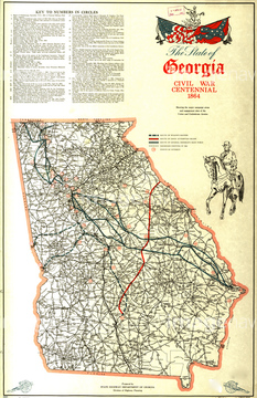
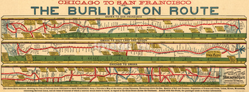
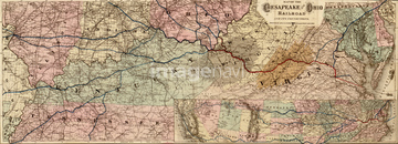
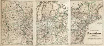
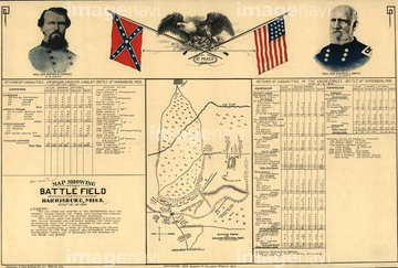
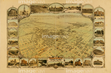
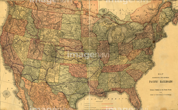
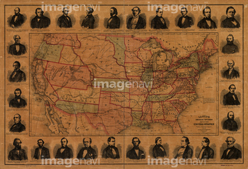
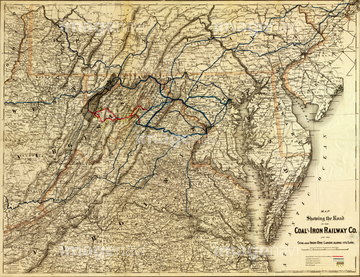
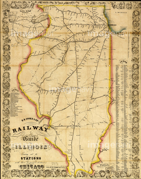
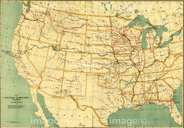
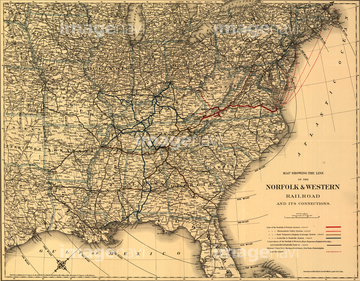
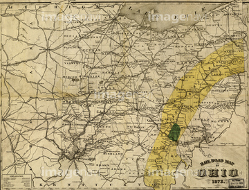
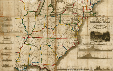
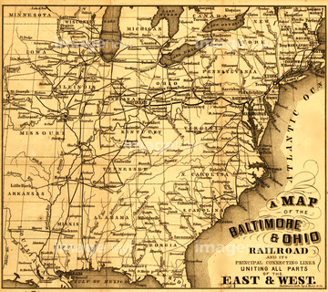
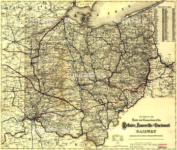
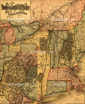
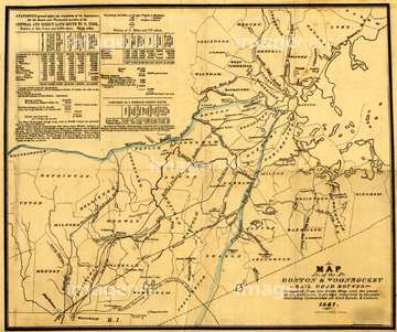
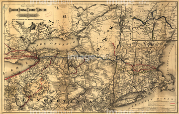
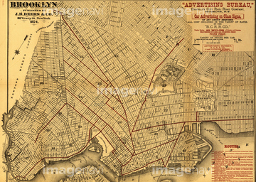
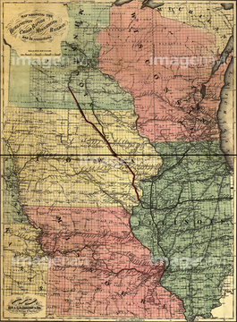
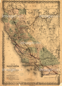
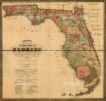
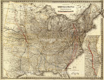
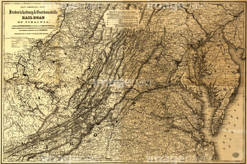
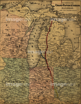
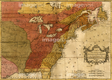
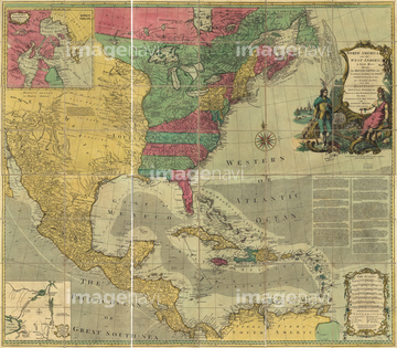
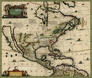
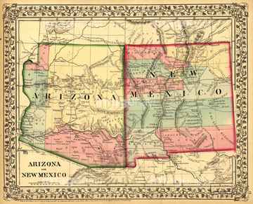
‚±‚جŒںچُŒ‹‰ت‚ة‚حپACoal and Iron Railway Co. and the coal and iron orپcپARailway guide for Illinois - 1855پAland-grant and bond-aided railroads of the United پcپANew Hampshire - 1894پANorfolk & Western Railroad -1887پAOhio - 1873‚ب‚ا‚ھٹـ‚ـ‚ê‚ؤ‚¢‚ـ‚·پB
51436421
51436820
51436422
51436752
51436837
51436843
51436666
51436692
51435669
51436693

51430892
51435632
51436364
51436766
51436745
51436833
51436847
51436803
51436429
51436657

51435744
51435580
51436713
51436717
51436737
51436774

51436808
51436817
51436824
51436831
51436838
51436841
51435627
51436638

64055079


51435781

51436028

51436706
51436711
51436721
51436722
51436726
51436728
51436730
51436732
51436738
51436755
51436775
51436780
51436788
51436795
51436796
51436797
51436805
51436806
51436807
51436813
51436814
51436822
51436825
51436826
51436828
51436829
51436830
51436834
51435700
51436906
51435855
51435858
51435859
51435861
51435862
51435863
51435864
51435867
51435869
51435870

51435872

51435873
51435879
51435999
51436000
51436001

51436003
51436004
51436005

51436007
51436008
51436011


51436021
51436022

51436026
51436034
51436036


51436419

51436420


51436651
51436663

51435668
51435672
51435675
51435680
51435685

51435692
51435693
51435706
| ژںƒyپ[ƒW |
