HOME > ژتگ^ > ڈو‚蕨پEŒً’ت > Œً’تƒCƒپپ[ƒW > ’nگ}
10,000Œڈ‚جژتگ^‘fچق‚ھŒںچُ‚³‚ê‚ـ‚µ‚½پB
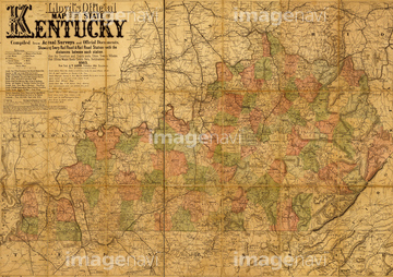
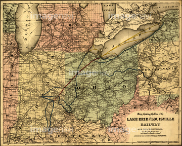
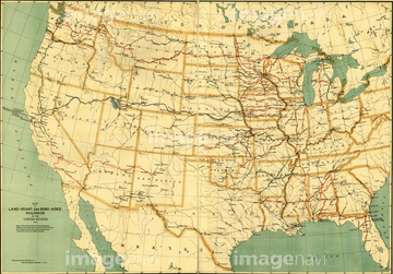
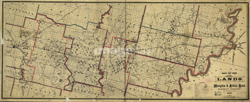
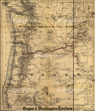
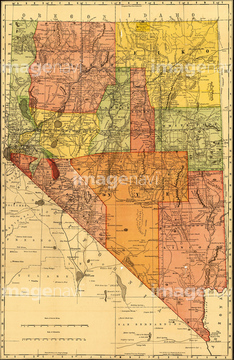
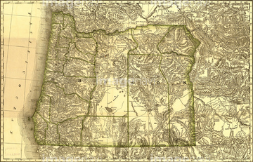
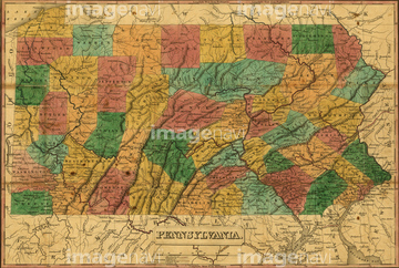
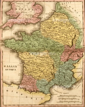
‚±‚جŒںچُŒ‹‰ت‚ة‚حپAMap of France Gallia AntiquaپAMap of Germany Germania AntiquaپAMap of Syria Mesopotamia AssyriaپAMap of Palestine Palestina AntiquaپAMap of Austria-Hungary in 1878پAZoological Geography; Birds of the World 1848‚ب‚ا‚ھٹـ‚ـ‚ê‚ؤ‚¢‚ـ‚·پB
51436775
51435879


51422887


51436058

51436261


51436264

51436265


51436268


51436271


51436273


51436278


51436280
51436281

51435605
51435616
51417235
51435615
51436070


51422942

51422943

51422944


51436064
51436294
51436073

51421621


51422839

51422840

51422841

51422842

51422843
51422888
51436274
51435569
51436113
51436706
51436711
51436713
51436717
51436719
51436721
51436722
51436726
51436728
51436729
51436730
51436732
51436737
51436738
51436743
51436752
51436755
51436762
51436774
51436780
51436781
51436788
51436795
51436796
51436797
51436801
51436802
51436803
51436804
51436805
51436806
51436807

51436808
51436813
51436814
51436817
51436822
51436824
51436825
51436826
51436828
51436829
51436830
51436831
51436834
51436837
51436838
51436841
51436843

51435700
51436028


51459589


53132940

51435946
51435950
51435955
51436864

51421591


51421877

51421879

51421880

51421882

51421883

51421884

51421885

51421888

51421889

51421890

51421891
| ژںƒyپ[ƒW |
