HOME > ژتگ^ > ڈو‚蕨پEŒً’ت > Œً’تƒCƒپپ[ƒW > ’nگ}
10,000Œڈ‚جژتگ^‘fچق‚ھŒںچُ‚³‚ê‚ـ‚µ‚½پB
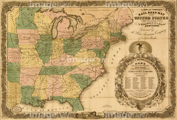
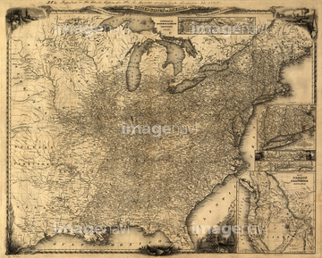
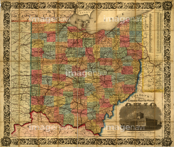
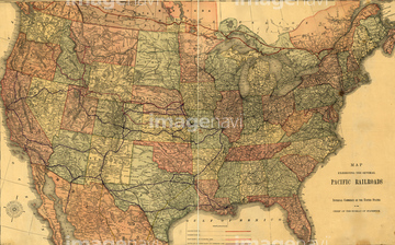
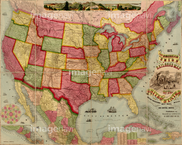
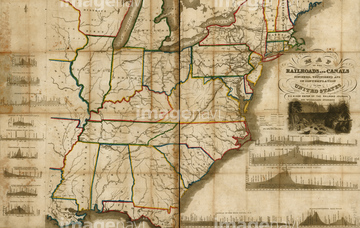
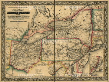
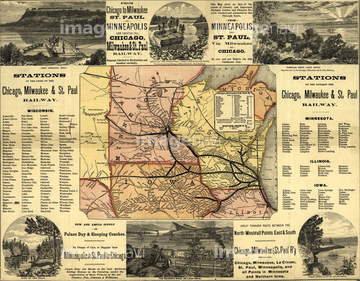
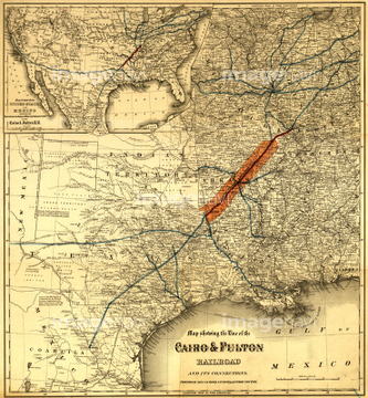
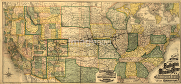
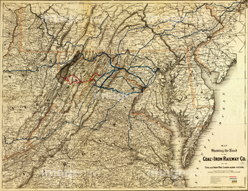
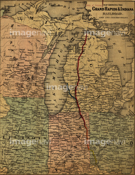
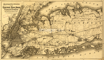
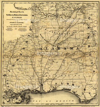
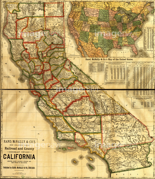
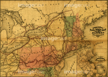
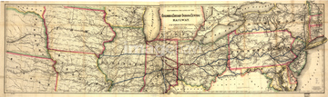
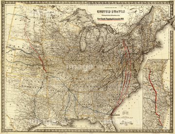
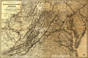
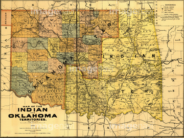
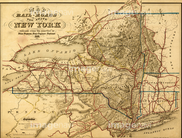
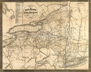
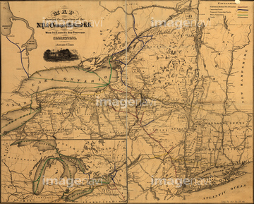
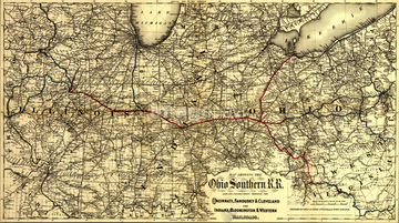
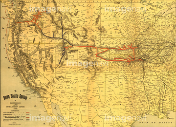
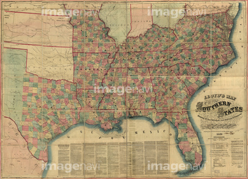
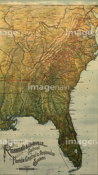
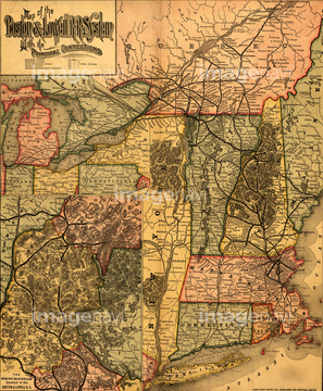
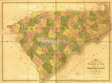
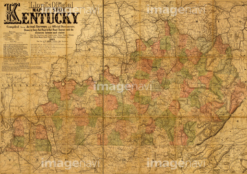
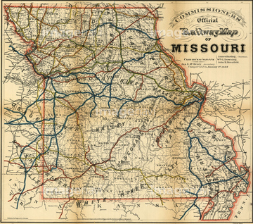
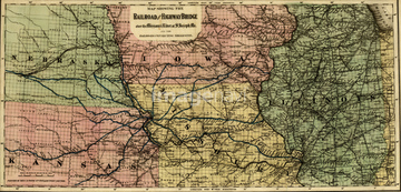
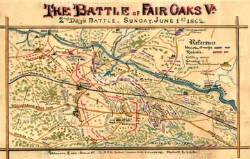
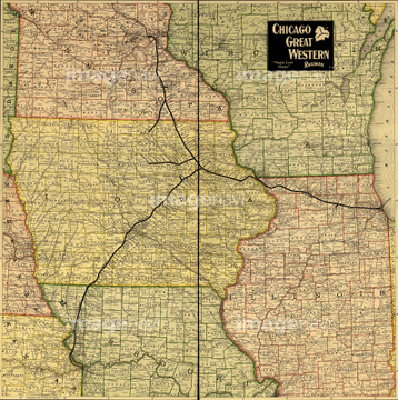
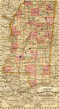
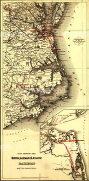
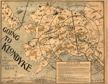
‚±‚جŒںچُŒ‹‰ت‚ة‚حپAAlaskan Gold Fields - 1897پAArkansas Central - 1872پAArkansas - 1895پAAtchison, Topeka, and Santa Fe R.R. and connectionپcپABaltimore & Ohio - B&O - 1860پABellaire, Zanesville and Cincinnati Railway - 1883‚ب‚ا‚ھٹـ‚ـ‚ê‚ؤ‚¢‚ـ‚·پB

51436841
51436028
51436713
51436817
51436838
51436807
51436732
51436737
51436762


51436717
51436824
51436831
51436711
51436721
51436722
51436726
51436730
51436752
51436780
51436805
51436806
51436813
51436814
51436822
51436825
51436834
51436837
51436843
51435700


51436774

51436808
51436706
51436728
51436738
51436755
51436775
51436788
51436795
51436796
51436797
51436826
51436828
51436829
51436830
51436113


51436745


51435781


51436820
51436858
51436854
51436448
51436750
51436709
51436766
51436729
51436743
51436781
51436802
51436803
51436804
51436756
51436833
51436847
51436848
51436433
51910374
51436864
51436631
51435742
51436823
51436719
51436801

| ژںƒyپ[ƒW |
