HOME > ژتگ^ > ڈو‚蕨پEŒً’ت > Œً’تƒCƒپپ[ƒW > ’nگ}
10,000Œڈ‚جژتگ^‘fچق‚ھŒںچُ‚³‚ê‚ـ‚µ‚½پB
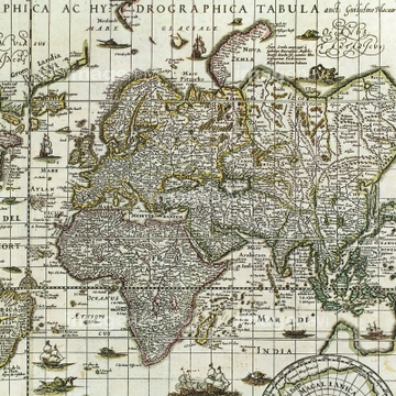
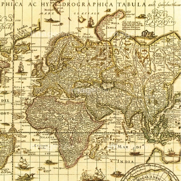
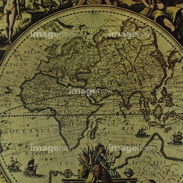
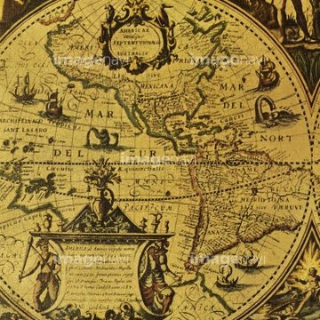
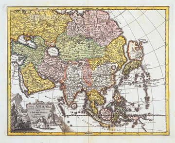
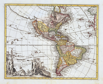
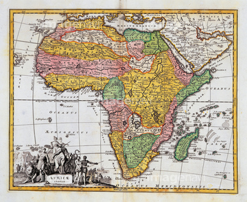
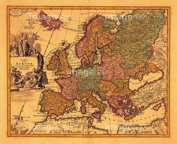
‚±‚جŒںچُŒ‹‰ت‚ة‚حپAŒأ’nگ}پAŒأ’nگ}ƒCƒپپ[ƒWپAŒأ‚¢گ¢ٹE’nگ}پAAsia; Theatrum Orbis Terrarum 1603پAWinds of the World 1539پAWorld map‚ب‚ا‚ھٹـ‚ـ‚ê‚ؤ‚¢‚ـ‚·پB

64082614
64083402
51437259

51410020
51437232


64055079

64052698
64082613
51436241

51436390

64055073

51435744

64055074

64055075


64055082
51436309

64055076

51435746

51435748


51435749

51410019

64052691

64052702
64082660

51436381

51435745
51436392
64083411
64082723


51437221

51426610

51436380

10307301

10307315
10307316
10307317

10307320

10307323
10307330

10307331

10307332

10307334

10307335

10307344

10307345

10307348

10307349

10307351

10307356

10307357

10307360

10307361

10307362

70125589

51435565
51430906
64082620
64082668
19283091
19283231
19283234
64055080

64052693

51437253

51421923

64052700
64052701

51421922

40544551
70102712
51435807

51405927

51405928

51405929


51405945
51436078
51436171
51436231
51436232
51436234
51436235
51436236
51436237
51436285
51436307
51436399
64083431
51437218
51437220

51436268


51436271
51902154


51436864
30047317
70102711
51436689

51430892
64082662
64082664
51436416

10307302
10307303
10307305
10307307

10307308
10307309
10307310
10307312
10307313
10307314
10307318
10307319
10307321

10307322
10307324
10307325
10307326
10307327
10307328
10307329

10307333
10307336
10307337
10307338
10307339
10307340

10307341
10307342

10307343
10307346
10307347

10307350

10307352

10307353

10307354

10307355

10307358

10307359
10307390
10307391
10307392
10307393
10307394

10307395
10307396
10307397
10307398
10307399
10307400
70125587
51499620

51417134
51426600
64082918
64083413
64083426
64078491

51437213
12406251
19283045
19283280
19283281
19283282
19283283

70195234
70195238
64083414

51405946
19286464

19283230
| ژںƒyپ[ƒW |
