HOME > ژتگ^ > ڈو‚蕨پEŒً’ت > Œً’تƒCƒپپ[ƒW > ’nگ}
10,000Œڈ‚جژتگ^‘fچق‚ھŒںچُ‚³‚ê‚ـ‚µ‚½پB
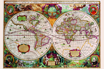
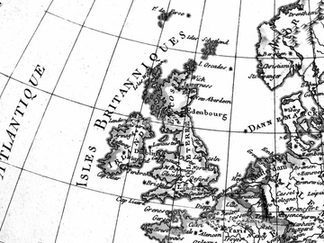
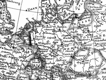
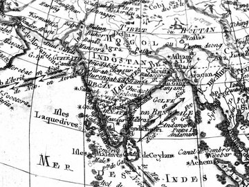
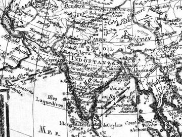
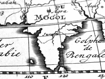
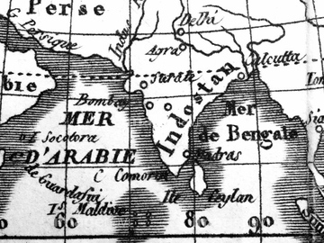
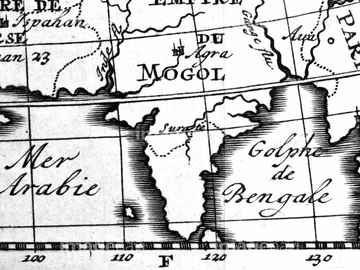
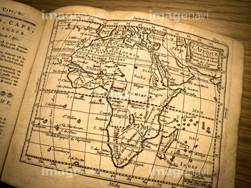
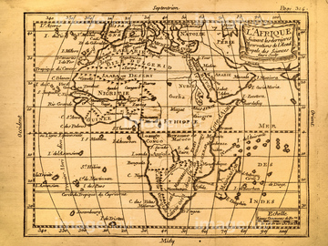
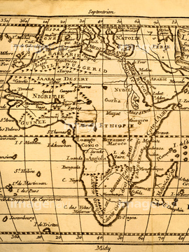
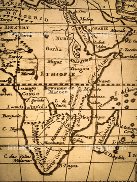
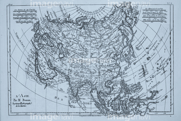
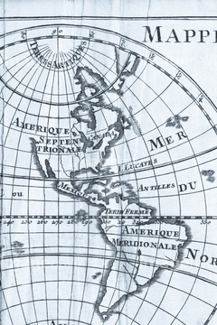
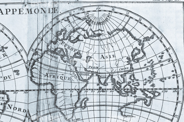
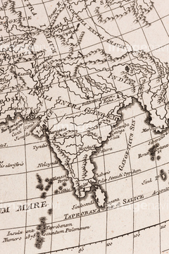
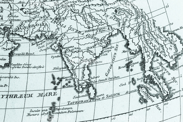
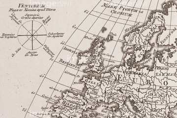
‚±‚جŒںچُŒ‹‰ت‚ة‚حپAƒAƒ“ƒeƒBپ[ƒN‚جگ¢ٹE’nگ}پAƒAƒ“ƒeƒBپ[ƒN‚جگ¢ٹE’nگ}پ@ƒCƒMƒٹƒXپAƒAƒ“ƒeƒBپ[ƒN‚جگ¢ٹE’nگ}پ@ƒhƒCƒcپAƒAƒ“ƒeƒBپ[ƒN‚جگ¢ٹE’nگ}پ@ƒچƒVƒAپAƒAƒ“ƒeƒBپ[ƒN‚جگ¢ٹE’nگ}پ@ƒtƒ‰ƒ“ƒXپAƒAƒ“ƒeƒBپ[ƒN‚جگ¢ٹE’nگ}پ@ƒCƒ“ƒh‚ب‚ا‚ھٹـ‚ـ‚ê‚ؤ‚¢‚ـ‚·پB


64055073

64052698


64055079

64055082

64055076

64052691

64055074

64055075

51435745

51436381


51435748
51436392

40544551

51437220
51435529


51421923
51435749

51421922

64052702

51436390
51437236

51435744

51436380

64052655

64055078
51436382
51436387
51437218

41421458
41421459

41421460

41421465
41421467

41421470

41421472

41421473

41421497
41421498
41421499
41421500

41421501
41421502
41421503

41421504

41421505

41421506

41421507

41421530
41421570
41421571
41421578
41421579

41421602
41421603

41421606

41421607
41421608

41421623
41421624
41421625
41421626

41421685

41421686

41421687

41421688
41421697

41421698
41421699
41421715

41421730

41421731

41421736

41421737

41421803

41421804

41421805

41421806

41421807

41421808

41421811

41421817

41421818

41421819


41421823

41421824

41421825

41421826

41421827

41421828

41421829

41421830

41421831
41421832

41421833
41421851

41421852

41455214
41455215

41455218
41455219

41455220

41455221

41455222
41455224

41455225

41455226
41455227
41455230
41455231
41455243
41455244

41455246
41455247

41455248
41455282
41455283
41455284

41455286
41455287

41087353

41087391

41088180

41088181

41088182

41088185

41088188

41088189

41088190


41088197


41088210

41088221

41088222

41088223

41088240

41088241

41088242

41088243

41088252

41088253

41088254

41088261


41088270
40556471
40556472
40556473
40556474
40557032

40560208

40560912

40560913

40560914

40560915

40560916

40560917

40560918

40560919

40560920

40560921

40560922

40560923

40560924

40560925

40560926

40560927

40560928
40560929

40560930

40560931
40560932

40560933

40560934
40561443
40533708
40533709

40533712
40533713

40533714

40533717

40533718

40533719

40533721

40533722

40533723

40533724
| ژںƒyپ[ƒW |
