HOME > ژتگ^ > ڈو‚蕨پEŒً’ت > Œً’تƒCƒپپ[ƒW > ’nگ}
10,000Œڈ‚جژتگ^‘fچق‚ھŒںچُ‚³‚ê‚ـ‚µ‚½پB
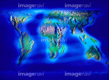
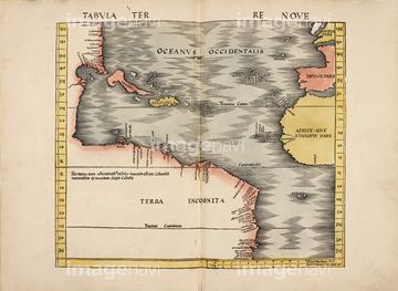
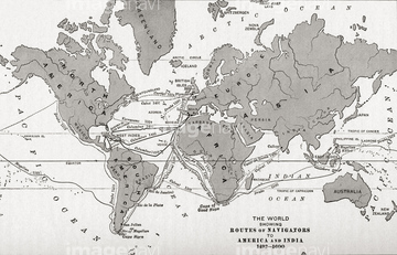
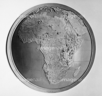
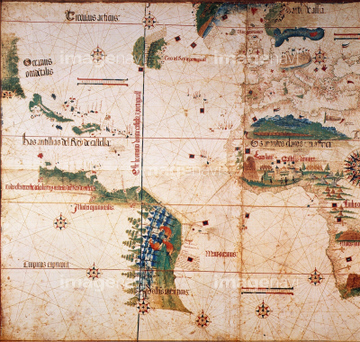
‚±‚جŒںچُŒ‹‰ت‚ة‚حپAMongolia - 1915پAMap of WorldپAThe World in Post Biblical TimesپAA Map of a New WorldپA18th century map of JamaicaپAMap of Peking Province, 16th century‚ب‚ا‚ھٹـ‚ـ‚ê‚ؤ‚¢‚ـ‚·پB

51437240


51424032

64052692

51437206

51422156

64052702

51424030

51421591

64083449

64083504

51422942

51422943

51422944

51436264

51422887

51436268


51436271


64052698

51421621

51421923


51436058

51436064

51436261

51436265


51436273


51436278


51436280
51436281
51436294

51421922
51435946
64083496

64052655

64052693


51424033

51437221

64052691


51437217

51421877

51421879

51421880

51421883

51421884

51421885

51421888

51421889

51421890

51421891

51421894

51421895

51421896

51421897

51421898

51421899

51421900

51421901

51421902

51421904

51421905

51421906

51421916

51421921
51422878
51435950
51435955

51421882
51421892

51421907
51421908

51421919

51422839

51422840

51422841

51422842

51422843


51421917

51421920
51422888


52210909


51437246

64055076

64055082
51437218
51437220

51459589

53132940

64083420


51436380
64083494
64043174
51435569
51436070
51436274
64042641


51421887
51425641

64055077
53107312
51430901
64052700
64052701

53133038
30036704
64083415

51435740


51938218

64149791
51435947
51435948
51435949
51435951
51435952
51435953
51435954
51422940

51435746

51430900

51411444
64083474
64083475
64083476
64083477

64055081

64055083
51901345

64055079
| ژںƒyپ[ƒW |
