HOME > 写真 > イラスト・CG > 美術 > アールヌーボー・アールデコ
10,000件の写真素材が検索されました。
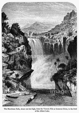
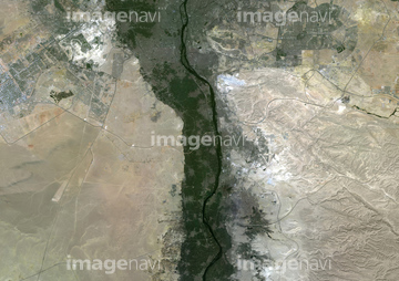
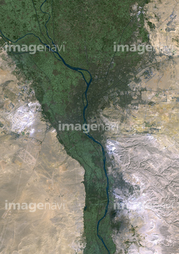
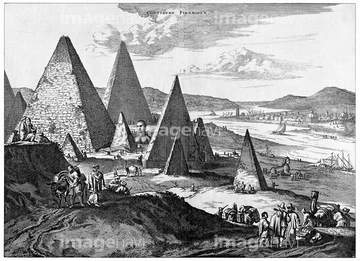
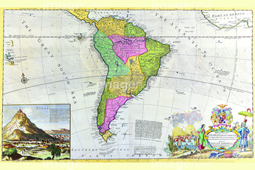
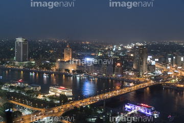
この検索結果には、Map Of Upper Egypt In The Late 19Th Century、Map Of The Nile Basin In 1819 Ad、AFRICA: MAP, 1154.、Egypt and Sudan, Natural Colour Satellite Image、Faiyum Oasis, Egypt, Natural Colour Satellite Imag…、NILE: MAP, 1154.などが含まれています。
51435033
30033244
51985734
51999978
51417188
51436156
51435947

51437213
53123274
51997705
51997706
51997730
51911791
51913671
51913902
51995754
51999247
51911190
51918891
51993231
51997704
51997757
51986760
51451452
51451463
51460235
51908331
51909553
51913520
51920054
64120523
51997391
51474796
51997461
51997462
51964324
51991167
51494713
51494714
70250648
51917390
64147714
64116162
51417295
51474446
51474447

51476561
51479319
51479344
51477174
51479872
51477712
51473258
51473300
51463969
51932246
51411977
64014738

53152104

64230866
51461682
51461683
51461715
51461716
41102873
41102874
41102875
20929772
20929773
70010476
70099458

64055074
51991125
70093551

64119842
51997468
51943005
51961985
64088151
64217860
51437225

19285832
19285834
10314142
10314179
30035168

51487953
51492107
51414154
51414155
51414156
51414157
51414158
51414159
51414160
51414161
51414162
51414163
51414165
51414166
| 次ページ |
