HOME > ژتگ^ > ’nگ}پE‰qگ¯ژتگ^ > گ¢ٹE‚ج’nگ} > –k•ؤ
10,000Œڈ‚جژتگ^‘fچق‚ھŒںچُ‚³‚ê‚ـ‚µ‚½پB
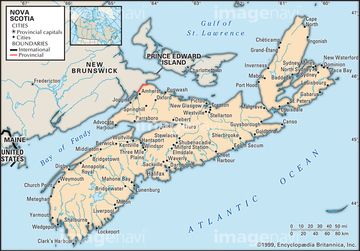
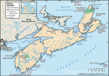
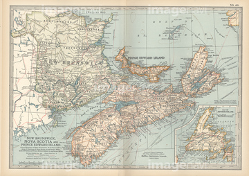
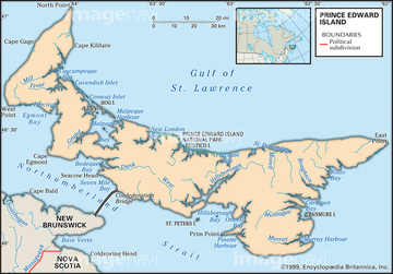
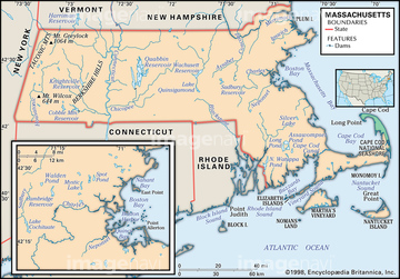
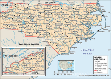
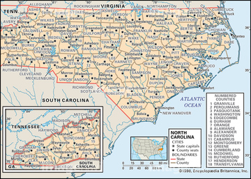
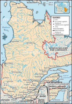
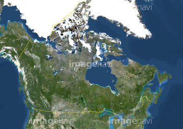
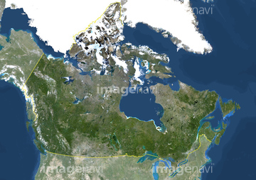
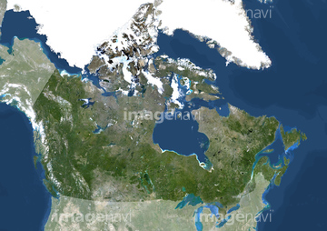
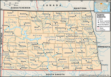
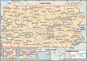
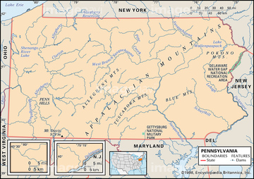
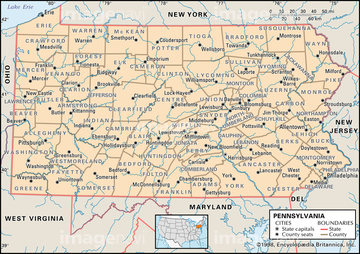
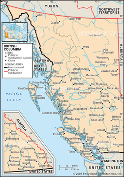
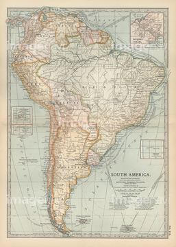
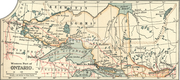
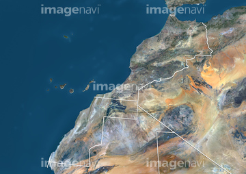
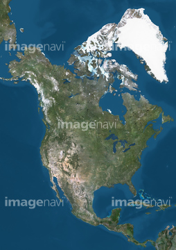
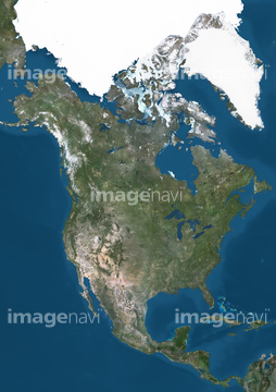
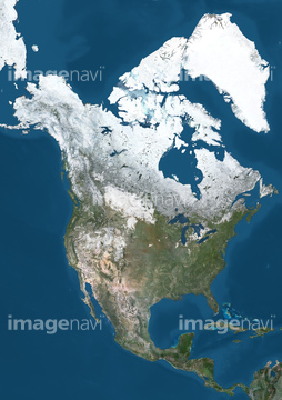
‚±‚جŒںچُŒ‹‰ت‚ة‚حپAƒAƒ“ƒeƒBپ[ƒN‚جگ¢ٹE’nگ}پ@ƒAƒپƒٹƒJ“ŒٹCٹفپAProvince of Ontario, Canada, True Colour SatelliteپcپAPolitical map of North DakotaپAPolitical map of OhioپAPhysical map of OhioپAMap of the West Indies‚ب‚ا‚ھٹـ‚ـ‚ê‚ؤ‚¢‚ـ‚·پB
51439592
51439593
51439633
51439632
51439594
51439595
51417302
51439586
51439504
51439578
51439580
51439637
51439584
51439608
51439579
51417198
51439638
51439609
51417070
51417281
51439494
51439495
51439582
51439601
51439602
51439603
51417251
51417268
51417269
51417270
51439611
51439613
51417201
51417077
51439318
51439610
51417254
51417287
51417271
51417318
51417098
51417122

51439515
51439516
51439517
51439532
51439534
51439583
51439641
51417169
51417278
51417292
51439533
51439654

51439503
51439505
51417329
51417330
51439558
51439559
63030052
51439781
51417301
51439763
51417311


51494614
51417120
51439510
51439511
51439512
51439624
51439625
51439626
51439309
51417069
51417192
51417224
51417231
51417273
51417105
51417186
51417284
51417087
51417272
51417294
51439520
51439521
51439523
51439524
51439525
51439542
51439570
51439571
51439605
51439771
51417229
53132805
51417204
51417313
51439555
51439556
51417202
51417308
51904835
51417259
51417213
51417219
51451402
51417147
51417261
51417264
51417276
51439562
51417108
51417255
51417274
51450823
51439676
51417223
51417310
51417194

| ژںƒyپ[ƒW |
