HOME > ژتگ^ > ’nگ}پE‰qگ¯ژتگ^ > گ¢ٹE‚ج’nگ} > –k•ؤ
10,000Œڈ‚جژتگ^‘fچق‚ھŒںچُ‚³‚ê‚ـ‚µ‚½پB
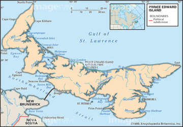
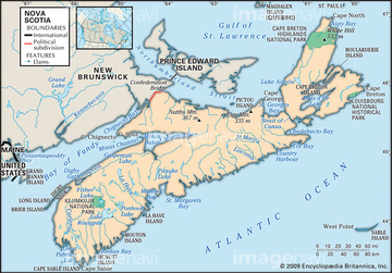
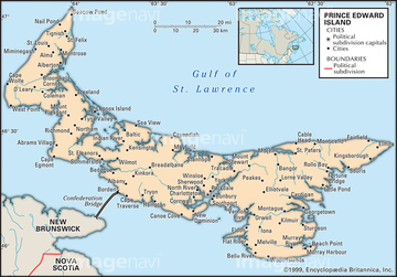
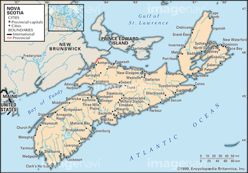
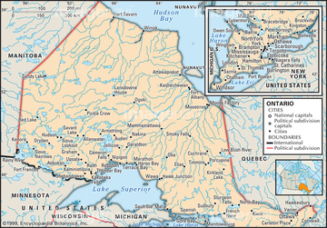
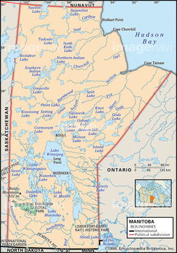
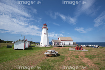
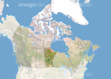
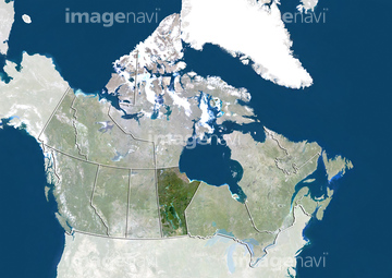
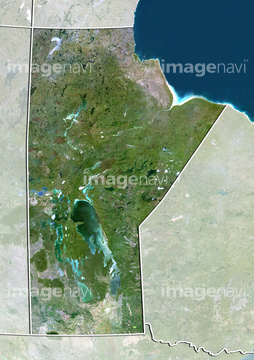
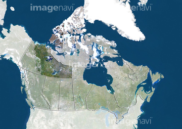
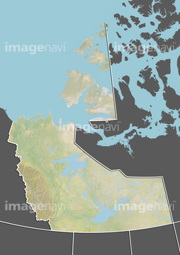
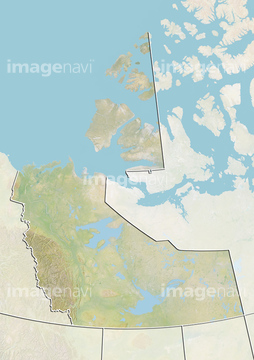
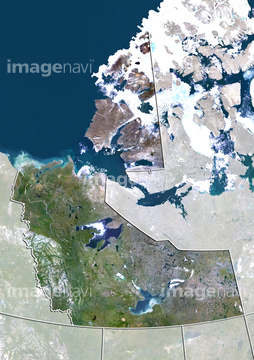
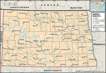
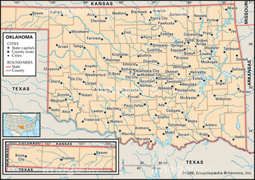
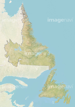
‚±‚جŒںچُŒ‹‰ت‚ة‚حپAPolitical map of OhioپAMap of Washington StateپAMap of NewfoundlandپACanada and the Territory of Nunavut, Relief MapپATerritory of Nunavut, Canada, Relief MapپACanada and the Province of Manitoba, Relief Map‚ب‚ا‚ھٹـ‚ـ‚ê‚ؤ‚¢‚ـ‚·پB
51439633
51439593
51439632
51439592
51439595
51439638
51439609
51439318
51439610
51439637
51439533
51439654
51439494
51439594
51439504
51439586
51439495
51439602
51439310
51439282
51439286
51439698
51439740
23947674
51439583
51439678
51439781
51439608
51417070
51439579
51439641
51417281
51439516
51439601
51439603
51439763
51417302
51439578
51439580
51439611
51439613
51494614
51439773
51439511
51439625
51417287
51439520
51439524
51439542
51439756
51439771

51439515
51439517
51439532
51439534
51439584
51439570
51481918
51417224
51417231
51417254
51417273
63030052
51417198
51417201
51439676
51439750
51417169
51417186
51417251
51417268
51417269
51417270
51417271
51417278
51417318
51417127
51417131
51417311
51417329
51416739
51417223
51417310
51417301
51439309
51417069
51417192
51417194
51416734
51439510
51439512
51439624
51439626
51439521
51439523
51439525
51439571
51439582
51439605
51417095

51417122
51417284
51417274
51439423
51417077
51417105
51417120

51417147
51417261
51417227
51417228
| ژںƒyپ[ƒW |
