HOME > ژتگ^ > ’nگ}پE‰qگ¯ژتگ^ > گ¢ٹE‚ج’nگ} > –k•ؤ
10,000Œڈ‚جژتگ^‘fچق‚ھŒںچُ‚³‚ê‚ـ‚µ‚½پB
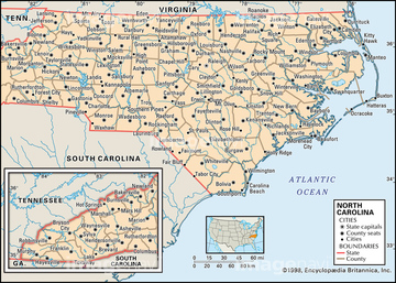
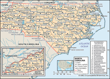
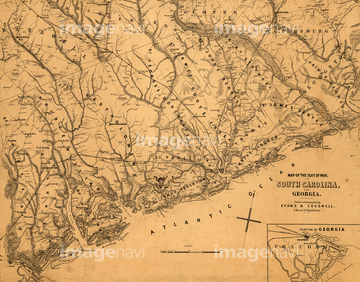
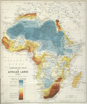
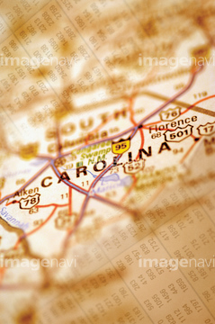
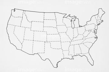
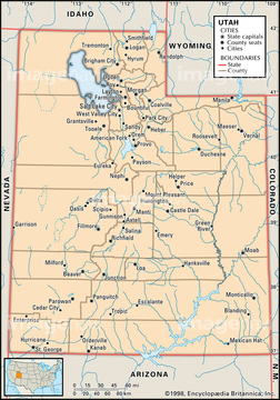
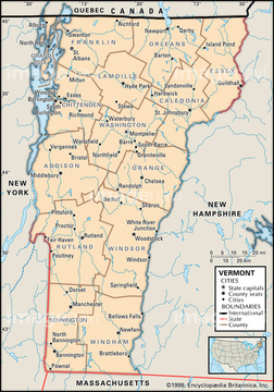
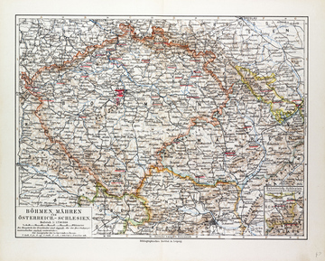
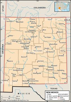
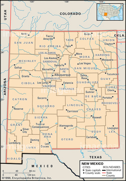
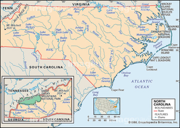
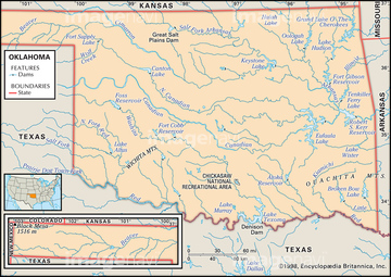
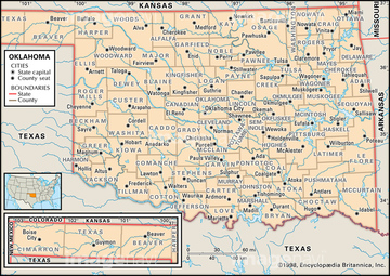
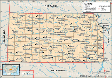
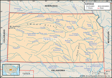
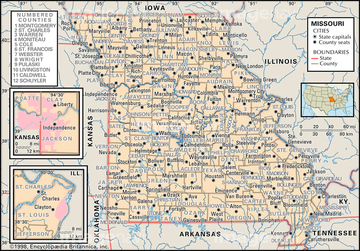
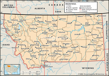
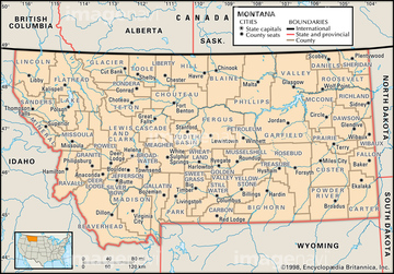
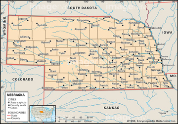
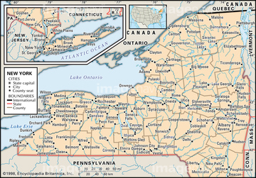
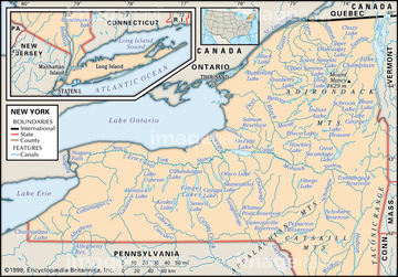
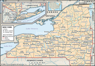
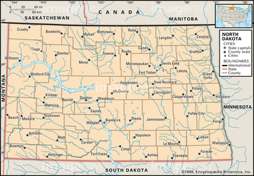
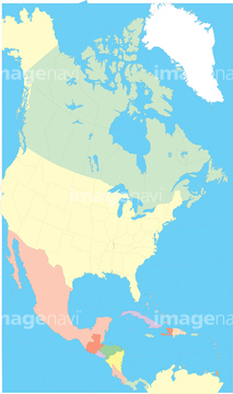
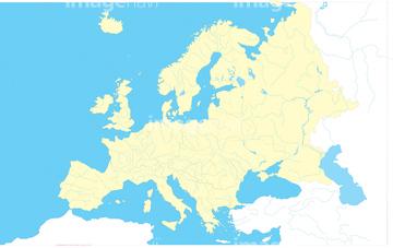
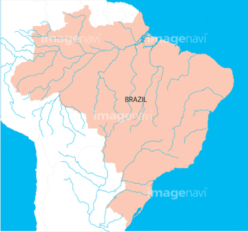
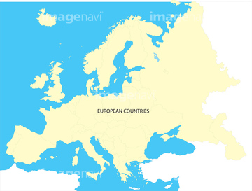
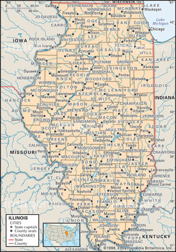
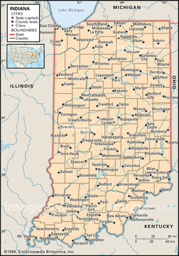
‚±‚جŒںچُŒ‹‰ت‚ة‚حپAPolitical map of VermontپADIAGRAM: AMERICAN UNIONپAPolitical map of NevadaپAPhysical map of AlabamaپAMap Of Bohemia (Czech Republic), 1899پAPolitical map of New Mexico‚ب‚ا‚ھٹـ‚ـ‚ê‚ؤ‚¢‚ـ‚·پB
51439677
51439757

51439764
51439705
51439679
51439699
51439741
51439751

51416735
51439673
51416731
51439676
51416733
51439755
51439762
51903135
51439674
51416729
51971419
51439703
32659606
32659607
51904852
51439701
51416738
51435864
64083001
51439337
51439338
51439339
51439553
51417048
51417050
51417051
51417052

29204888
51439552
51439578
51439580
64082787
30100596
51439739
51439749
51938513
51439548
51439550
51416730
51439565
51439567
64083121
51439579
51421910
51417234
51903382
30047325
16907903
19604492
19604496
16907906
51417211
51416739
51435644
51437073

51985127
51416734
30047326
51913752
51439285
51439287
51439393
51439394
51439395
51439422
51439423
51439424
51439445
51439446
51439460
51439461
51439463
51439464
51439465
51439485
51439486
51439487
51439503
51439505
51439523
51439524
51439525
51439532
51439534
51439541
51439542
51439543
51417210
51417215
51417216
51417217
51417220
51417233
51417235
51417239
51417241
51417243
51417246
51417328
51417329
51417330

29611326
51439569
51439570
51439571
51439582
51417132
51417242
19604485
19604489
19604395
19604412
16907782
16907783
16907915
51417236
51417237
51417238
51417244
32659164
16907902
16907874
51439605
51439608
51439611
51439613
51439756
51439584
51922286
19604486
16907780
16907873
16907911
16907912
30047318

30047320
30047322

30047323

51479037

30038114
16907781
16907795
51439510
51439511
51439512
51417106

16907789
16907790


10903456

51439281
51439283
51439317
51439319
51439402
51439403
51439404
51439432
51439433
51439434
51439436
51439437
51439438
51439441

51439442
| ژںƒyپ[ƒW |
