HOME > ژتگ^ > ’nگ}پE‰qگ¯ژتگ^ > گ¢ٹE‚ج’nگ} > –k•ؤ
10,000Œڈ‚جژتگ^‘fچق‚ھŒںچُ‚³‚ê‚ـ‚µ‚½پB
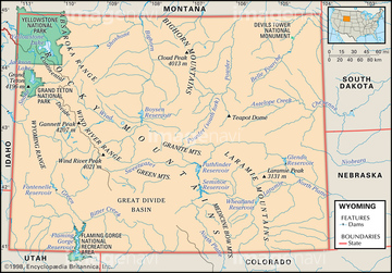
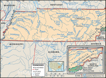
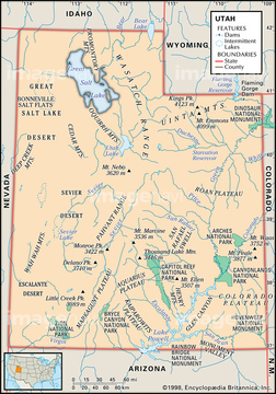
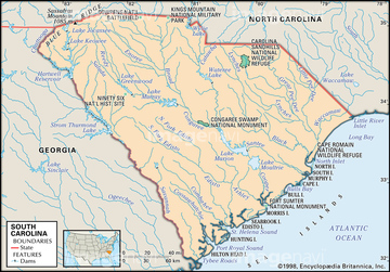
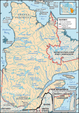
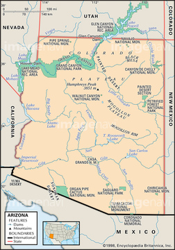
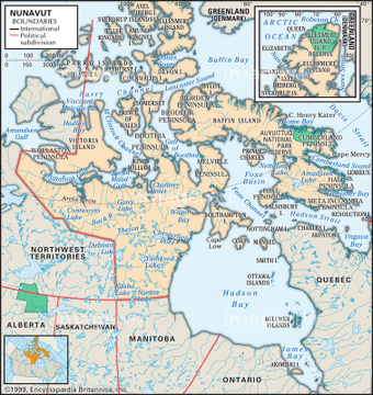
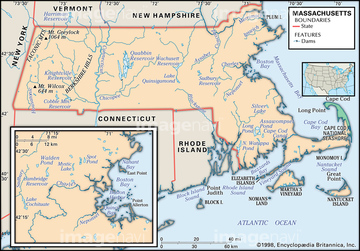
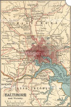
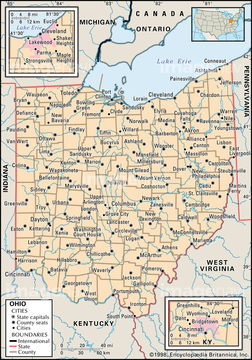
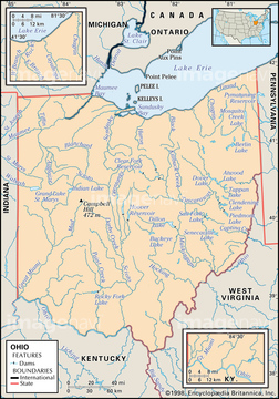
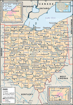
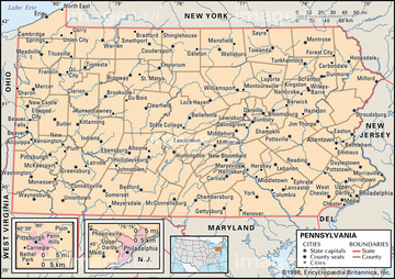
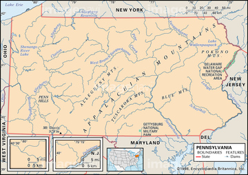
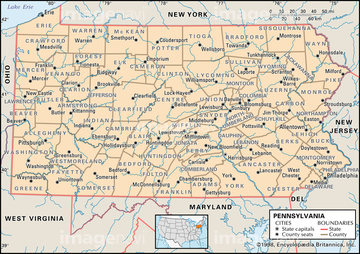
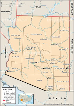
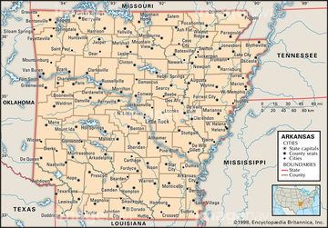
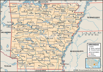
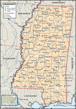
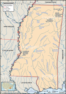
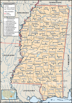
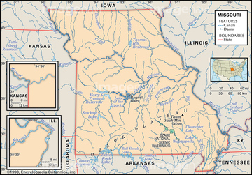
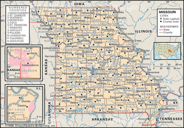
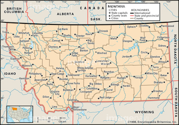
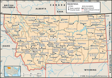
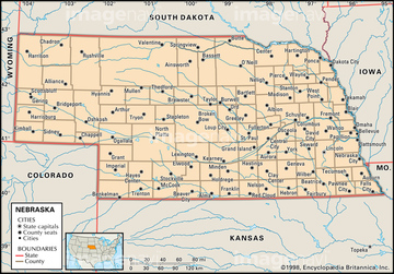
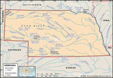
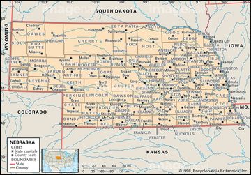
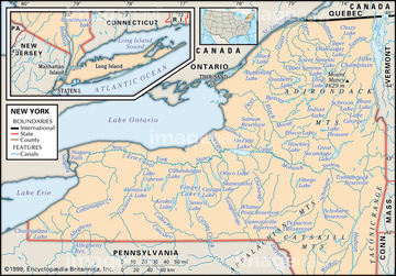
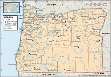
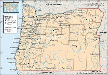
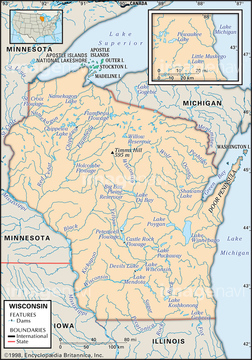
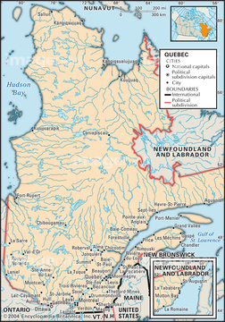
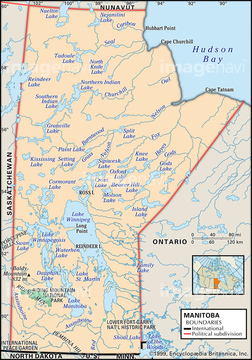
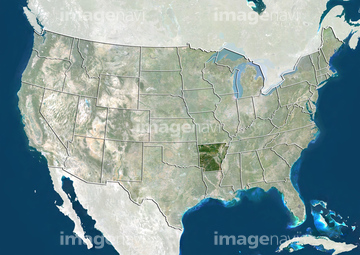
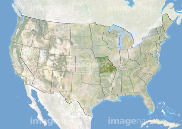
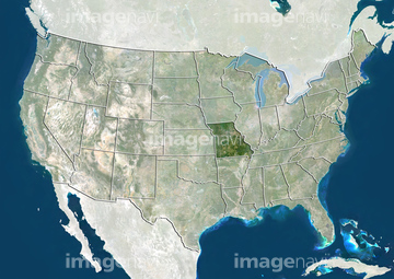
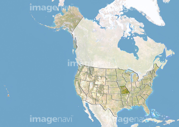
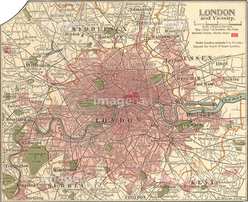
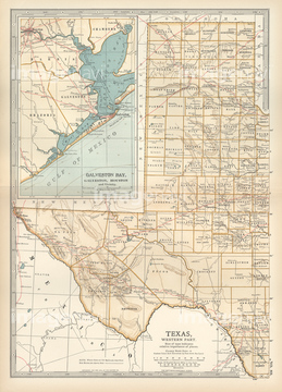
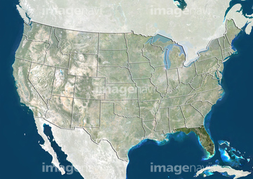
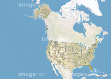
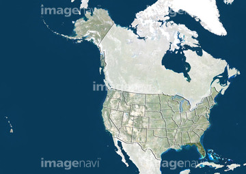
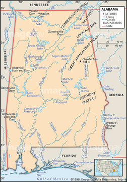
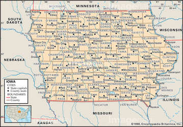
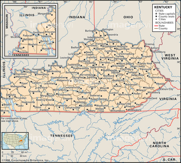
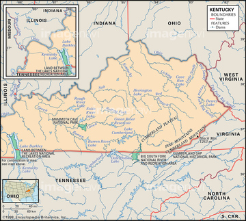
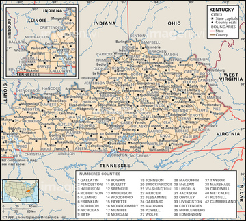
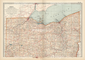
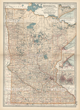
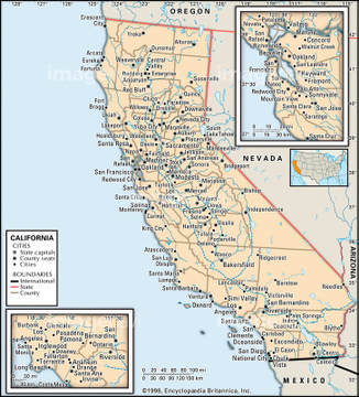
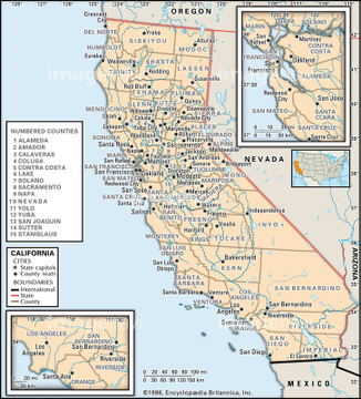
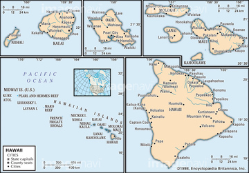
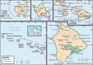
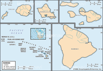
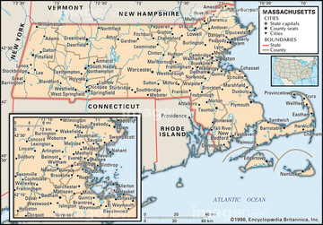
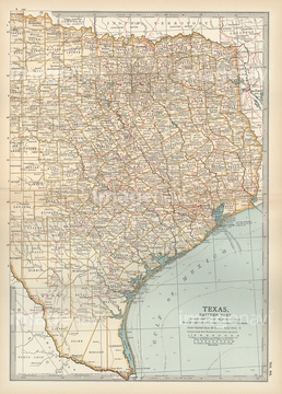
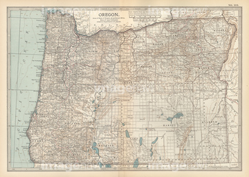
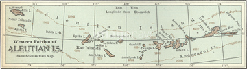
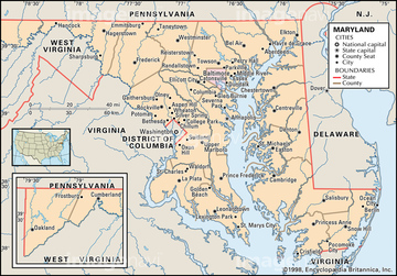
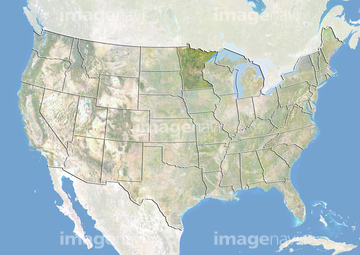
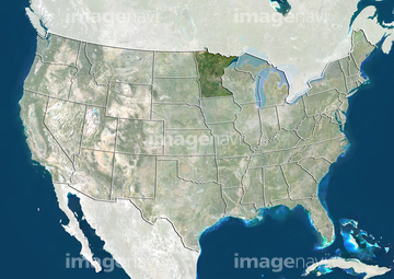
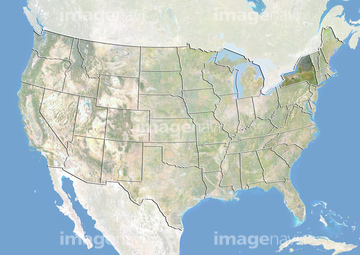
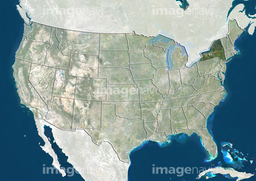
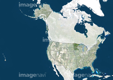
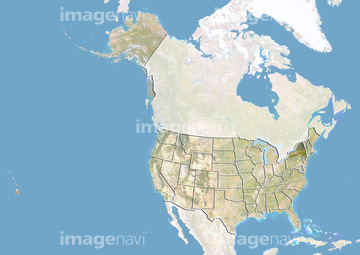
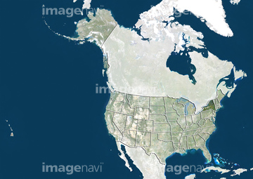
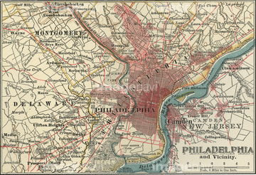
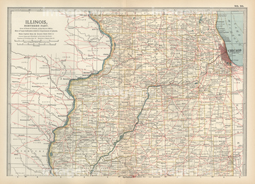
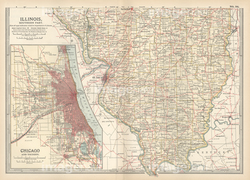
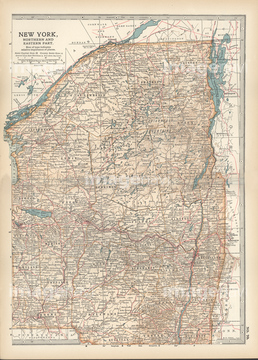
‚±‚جŒںچُŒ‹‰ت‚ة‚حپAMap of NebraskaپAPhysical map of NebraskaپAPolitical map of NebraskaپAPhysical map of New YorkپAPolitical map of New YorkپAPolitical map of North Carolina‚ب‚ا‚ھٹـ‚ـ‚ê‚ؤ‚¢‚ـ‚·پB
51439763
51439318
51439533
51439609
51439654
51439286
51439583
51439610
51439678
51439494
51439495
51439773
51439698
51439740
51439676
51439638
51439282
51439595
51439504
51417245
51439594
51439593
51439704
51439510
51439511
51439512
51417073
51439601
51439602
51439603
51439624
51439625
51439626

51439281
51439283
51439285
51439287

51439515
51439516
51439517
51439519
51439520
51439521
51439523
51439524
51439525
51439532
51439534
51439541
51439542
51439543
51439570
51439571
51439578
51439579
51439580
51439582
51439584
51439605
51439608
51439611
51439613
51439771
51417097
51417122
51417307
51439781
51439310

21202469
51417310
51439750

51439766
51439633


51439586
51439637
51417070
51417102
51439641
51439756


51417130

51417106
51417083
51417085
51417107

51439592
51417078
51417099
51417114
51417260
51417301
51417287
51417223
51439549
51416734
51416730
51417048
51417050
51417051
51417052
51417224
51417232
51439317
51439319
51439422
51439423
51439424
51439503
51439505
51417213
51417219
51417222
51417246
51417328
51417329
51417330
51417082


51417111
51417112
51417123
51417183
51417227
51417228
51417203


| ژںƒyپ[ƒW |
