HOME > 写真 > 国・地域 > 極地・秘境 > ヒマラヤ
10,000件の写真素材が検索されました。
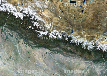
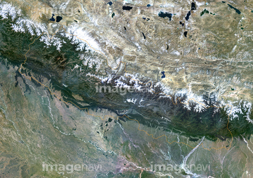
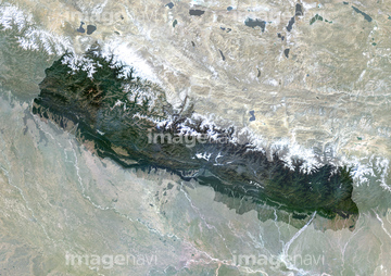
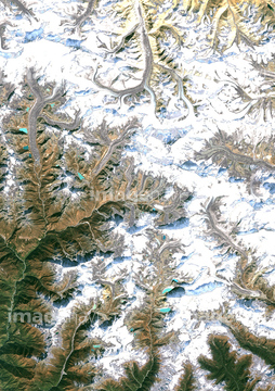
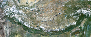
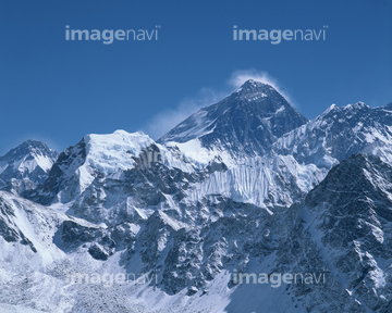
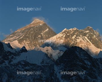
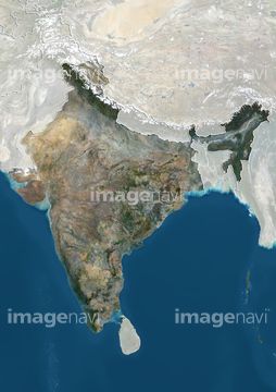
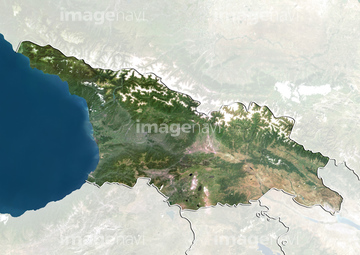
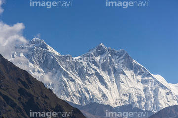
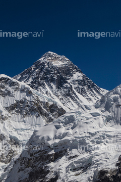
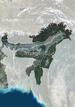
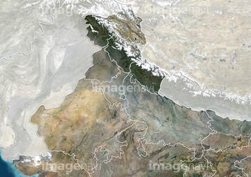
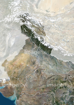
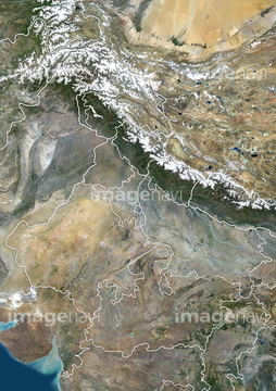
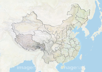
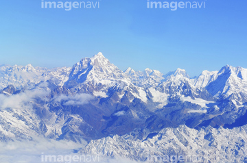
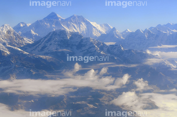
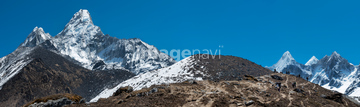
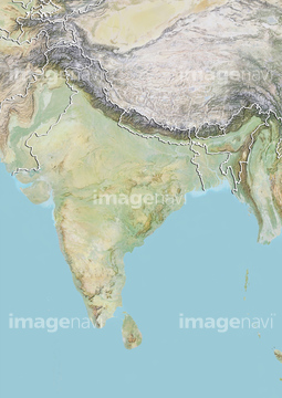
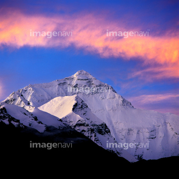
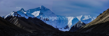
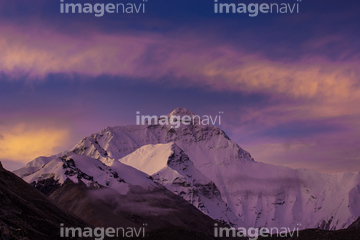
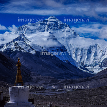
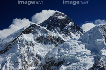
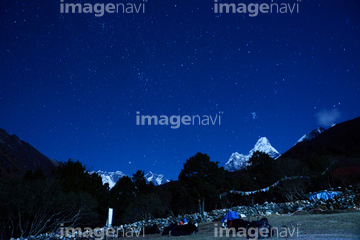
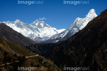
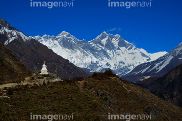
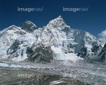
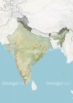
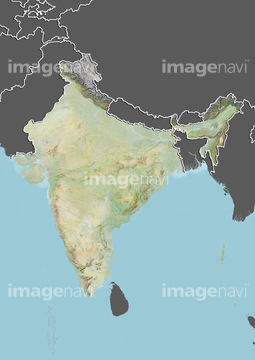
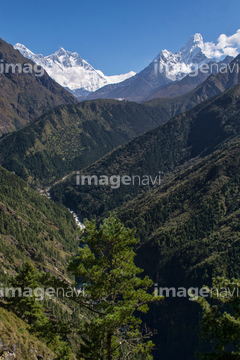
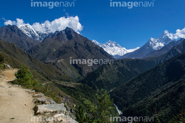
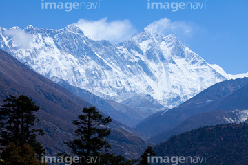
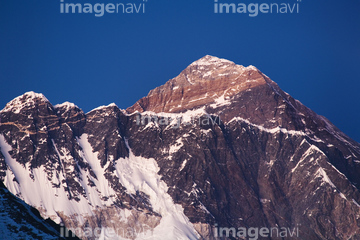
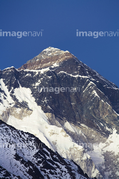
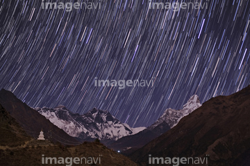
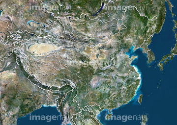
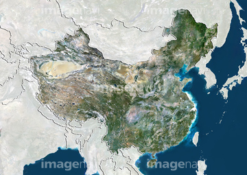
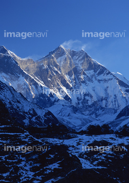
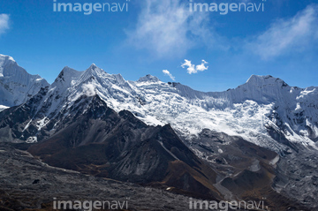
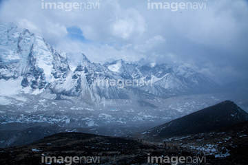
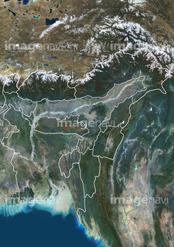
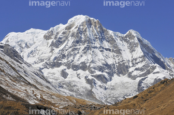
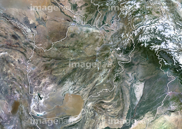
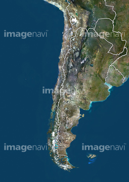
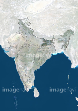
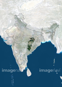
この検索結果には、エヴェレストとヌプツェ、エベレスト峰、エベレスト街道から望むエベレストとローチェ、エベレスト、Northeast India, Natural Colour Satellite Image、North India, Natural Colour Satellite Imageなどが含まれています。
51451289


51450827

70001856
70001519
70001520


19254413
19254450
51453045
51453206

51451098
24716874
24717684
19254412
19254504
19374254
19374278
19374293
19374302
32212031
32212032
32212033
32212034
32212035
32212036
32212037
32212038
53116098
53116099
32678084
32212039
70372303
70372322
70372323
70372341
70372343
70372350
70372354
70372359
70001858
19254434
19254435
70039663
70039664
64075265
51450780
99085091
19254506
32212040
64065227
19254414

18137461
32659988
64076009
70039665


| 次ページ |
