HOME > ژتگ^ > ڈو‚蕨پEŒً’ت > Œً’تƒCƒپپ[ƒW > ’nگ}
10,000Œڈ‚جژتگ^‘fچق‚ھŒںچُ‚³‚ê‚ـ‚µ‚½پB
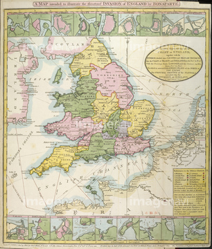
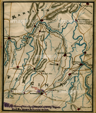
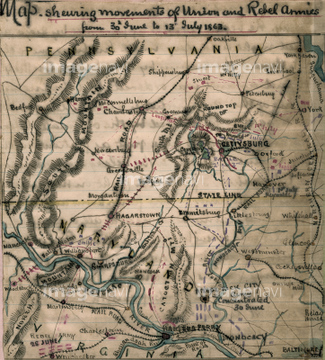
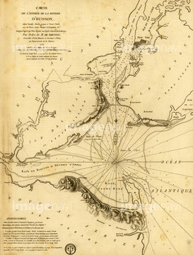
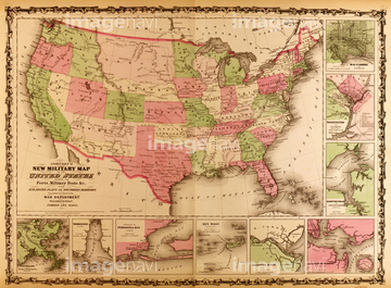
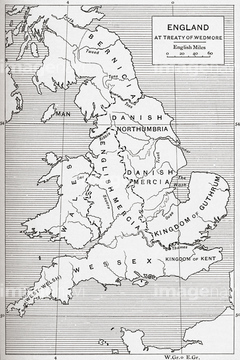
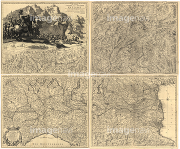
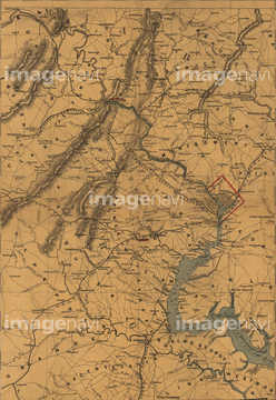
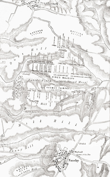
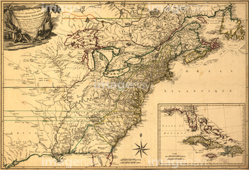
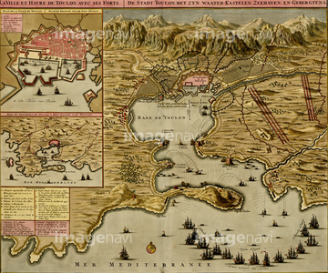
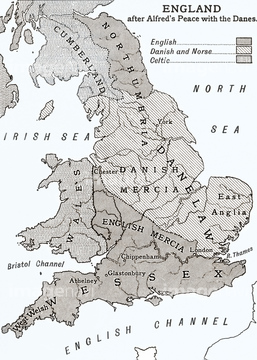
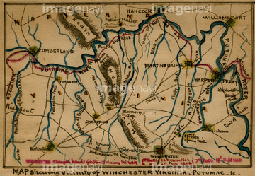
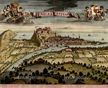
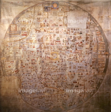
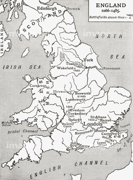
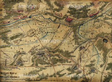
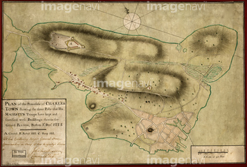
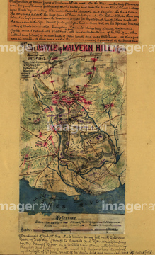
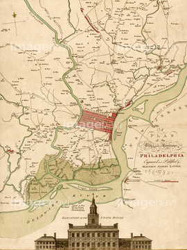
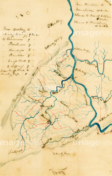
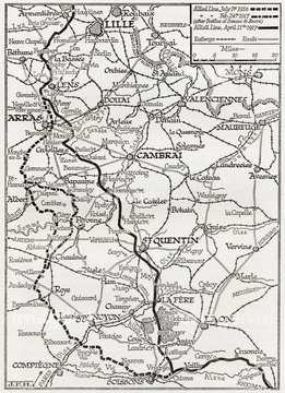
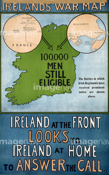
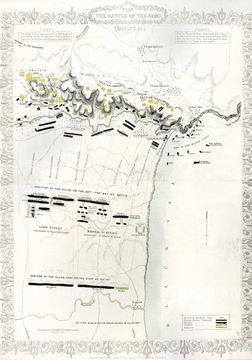
‚±‚جŒںچُŒ‹‰ت‚ة‚حپACity of Cuneo - 1700پAStraits of Cadiz - Gibraltar - 1700پATrevise in the Italian Po Valley - 1700پABattlements at Milan - 1700پAA map of England after king Alfred's peace with thپcپAWinchester, West Virginia 1863‚ب‚ا‚ھٹـ‚ـ‚ê‚ؤ‚¢‚ـ‚·پB


64082769

51435921

51920631
51458252
51436507
51459280
51436500

51435917
51920842

51498295
51458251
51485882
51437082
51938834

51458507
51458553

51435925

51435937


51435931
51436425
51437090
51436464
51436471
51436485
51436884
51436885
51436886
51436887
51437153
51437084
51436894
51436041
51436149
51436209
51436542
51436478
51436033
51435923

51435924


51435929

51435938

10918548
51468852
51436543

51436911
51436912
51436468
51436904
51437069
51920713
51436899
51436421
51436503

51436875
51436902
51436906
51437075
51437077
51437079
51437096
51437110
51436572

51435928

51435939
51437081
51920845
51437118
51435567
51920850
51437143


51920342
53133480
64083482
51458936
51980422

51435930
51914558
51435892
51436337
51436577
51437063

51437064
| ژںƒyپ[ƒW |
