HOME > ژتگ^ > ڈو‚蕨پEŒً’ت > Œً’تƒCƒپپ[ƒW > ’nگ}
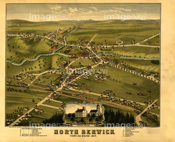
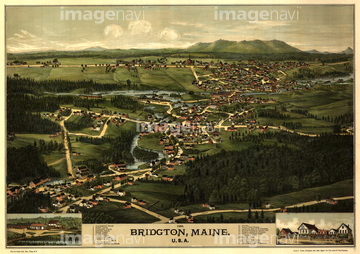
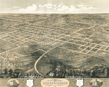
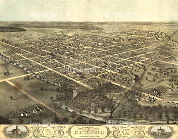
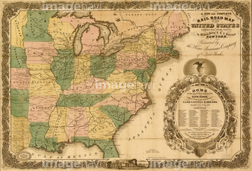
10,000Œڈ‚جژتگ^‘fچق‚ھŒںچُ‚³‚ê‚ـ‚µ‚½پB
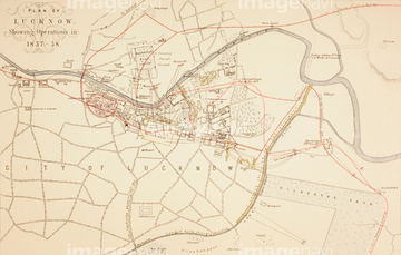
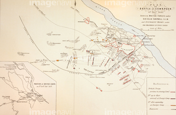
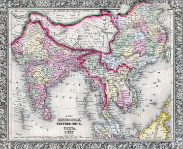
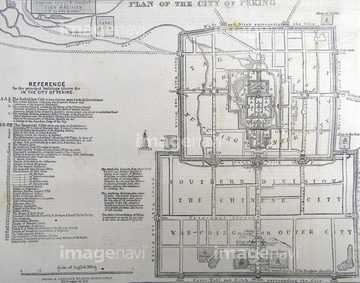
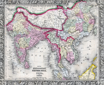
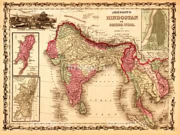
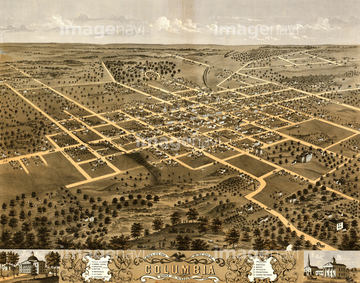
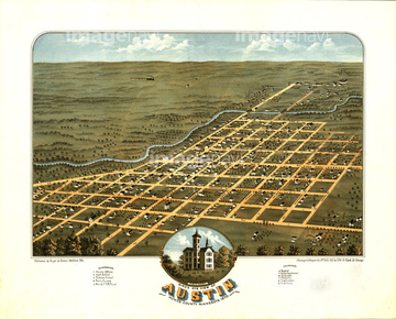
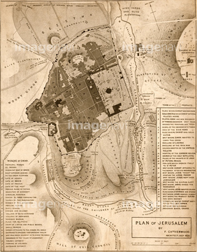
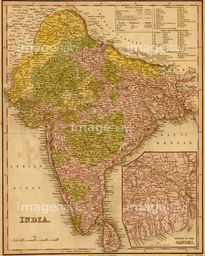
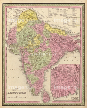
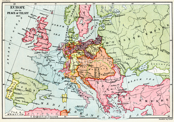
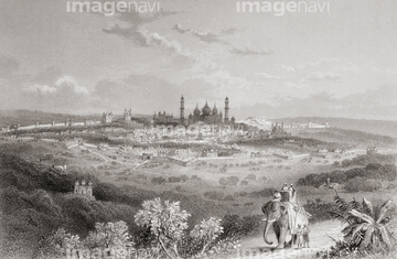
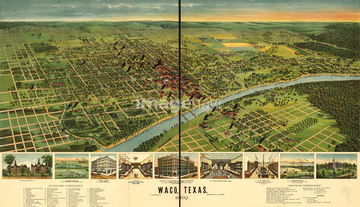
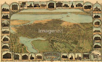
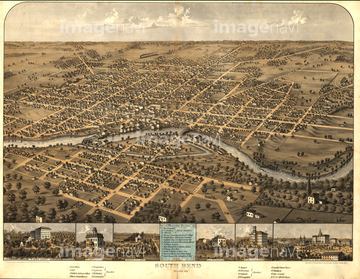
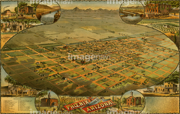
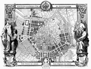
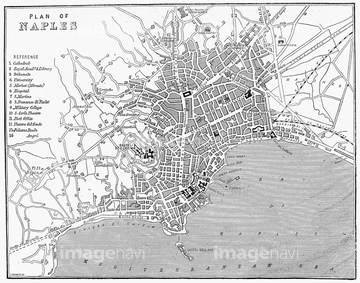
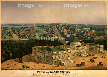
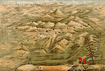
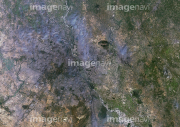
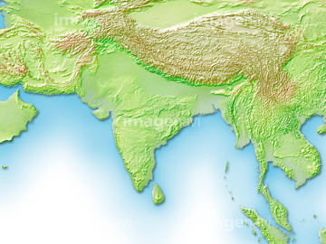
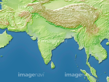
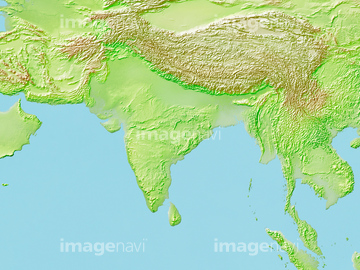
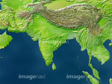
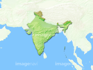
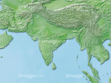
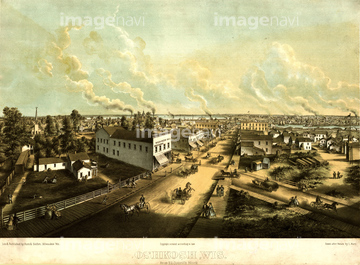
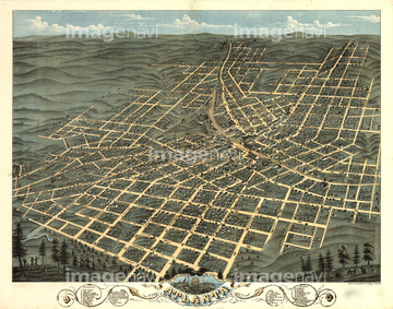
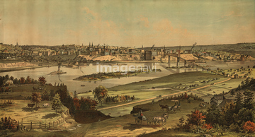
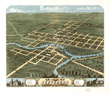
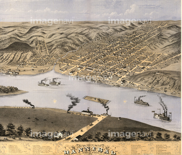
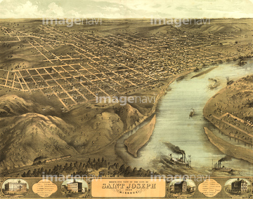
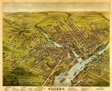
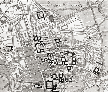
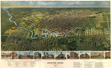
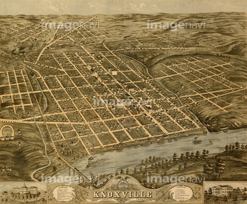
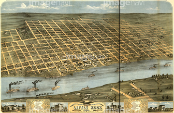
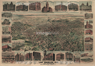
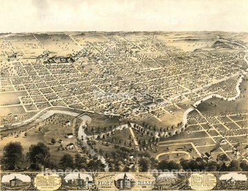
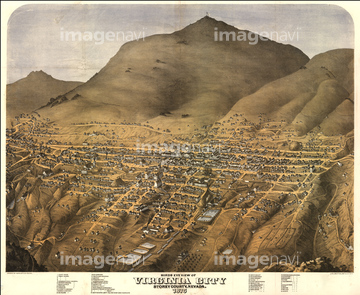
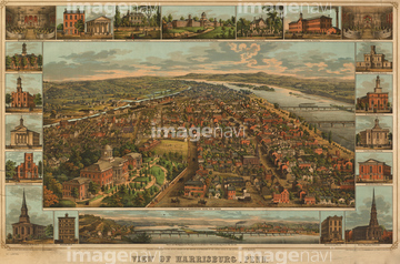
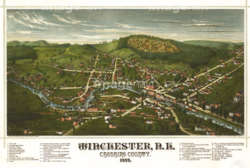
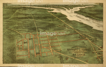
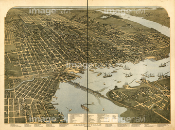
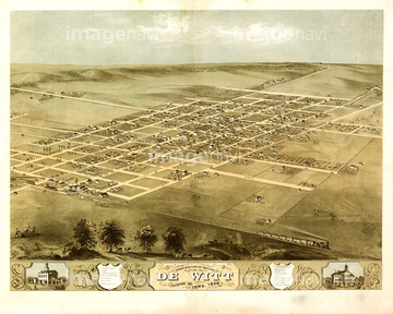
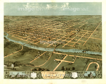
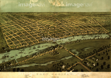
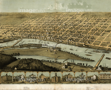
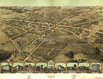
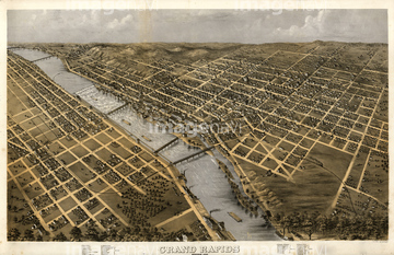
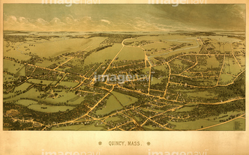
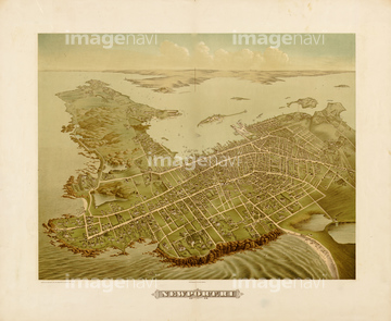
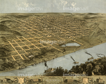
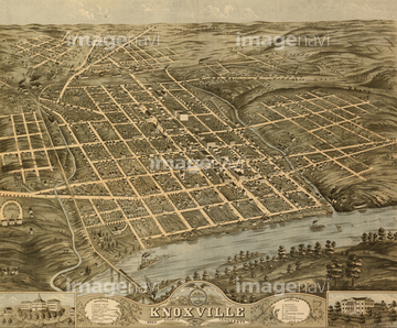
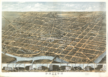
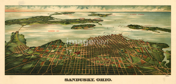
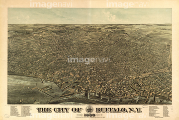
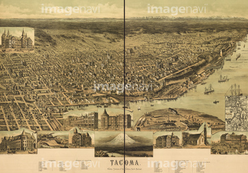
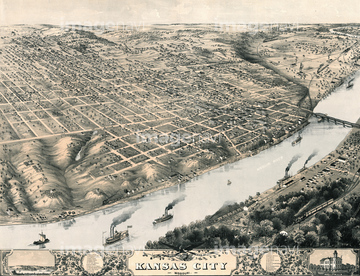
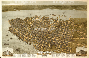
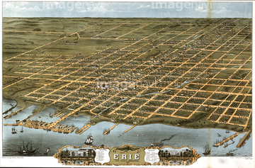
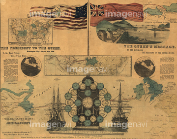
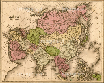
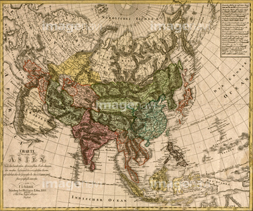
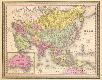
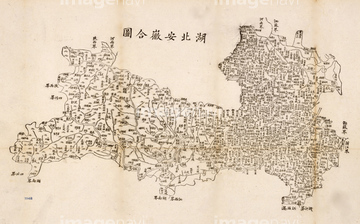
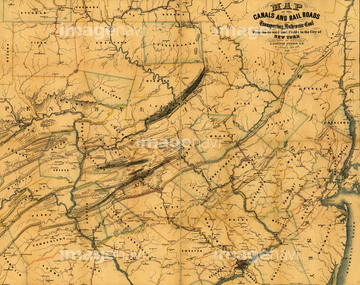
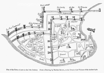
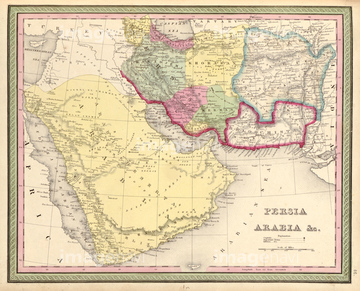
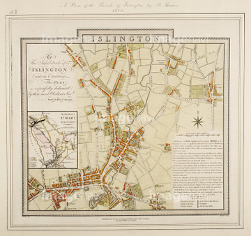
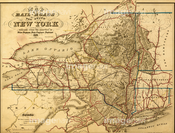
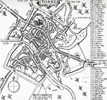
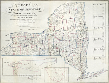
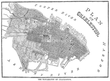
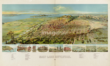
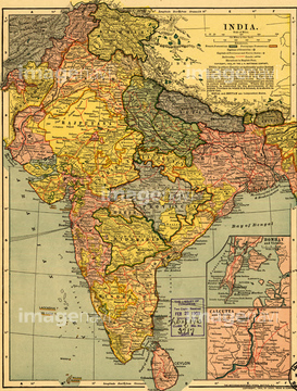
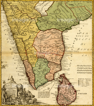
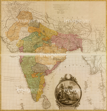
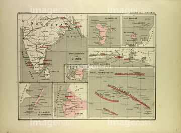
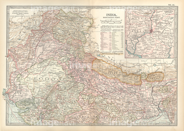
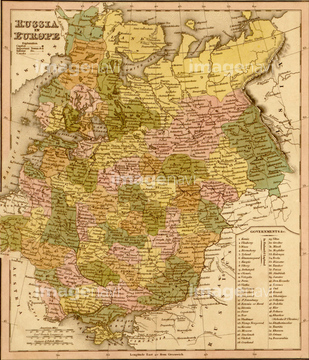
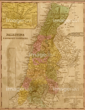
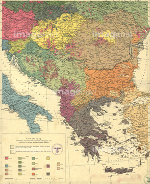
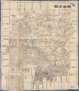
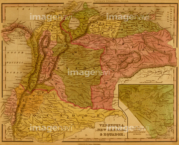
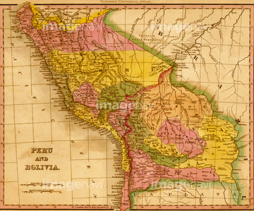
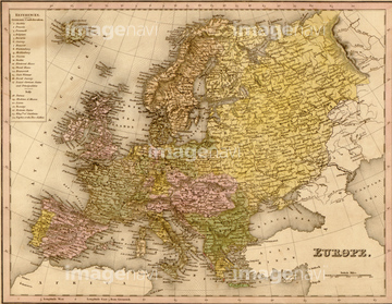
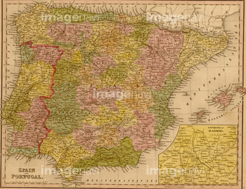
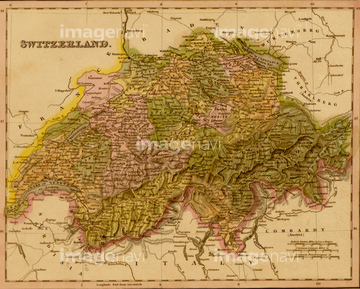
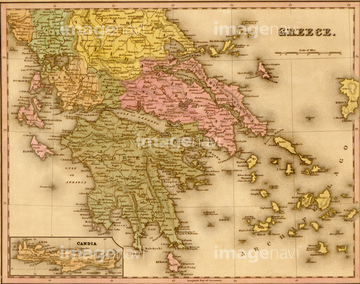
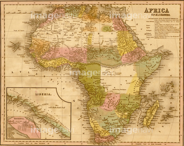
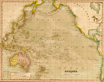
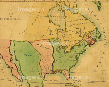
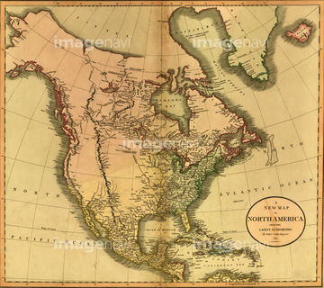
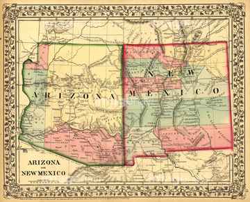
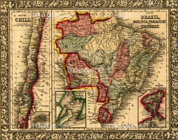
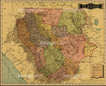
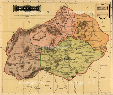
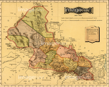
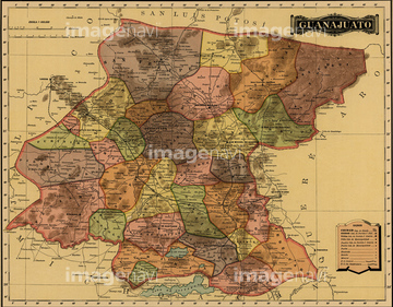
‚±‚جŒںچُŒ‹‰ت‚ة‚حپAƒCƒ“ƒhژü•س’nگ}پAƒCƒ“ƒh’nگ}پAOshkosh, Wisconsin 1850 1850پAAtlanta, Georgia 1871 1871پASt. Paul, Minnesota 1874 1874پAJefferson, Wisconsin 1870 1870‚ب‚ا‚ھٹـ‚ـ‚ê‚ؤ‚¢‚ـ‚·پB

51458513
51458511
51489931
51435844

51436223
51436142

51422780
51435909
51436355
51458510
51435576
51435583
51435614
51435625
51435638
51435640
51915467

51422774

51914480

53133038


51436216
51436353

51436352

51436419
51435563
14301241
14301242
14301243
14301244
14301249

14301250

14301251

14301252
14301253

51436143
51435570
51435585
51435590
51435608
51435639
51435641
51435646
51459551
51435577
51435578
51435579
51435582
51435587
51435595
51435598
51435600
51435601
51435606
51435607
51435609
51435610
51435612
51435615
51435616
51435619
51435620
51435621
51435622
51435623
51435626
51435628
51435629
51435631
51435632

51435633
51435636
51435637
51435642
51435644
51435645


51436349
51435876
51436208
51436304
51436305
51436311
51436351
51435542
51435555

51422778

51484968


51435840


51435521
51913568

51435908
51436354

51405937
64083442

51458507
51436813
51435700
64082996
51436418
51459598
51919869
51913592
51435575
51436201
51436314
51466701
51417174


51435781


51435907
51436320
51436322

51435543
51435830

51435838

51436420
51905714
51911501
51435855
51435858
51435861
51435862
51435863
51435864
51435869
51435886
51435888
51435893
51435900
51435905
51435906
51435913
51436000
51436004
51436034
51436086
51436087
51436090
51436091
51436092
51436093
51436095
51436096
51436098
51436099
51436100

51436102
51436106
51436108
51436164
51436288
51436326
51436331
| ژںƒyپ[ƒW |
