HOME > ژتگ^ > ڈو‚蕨پEŒً’ت > Œً’تƒCƒپپ[ƒW > ’nگ}
10,000Œڈ‚جژتگ^‘fچق‚ھŒںچُ‚³‚ê‚ـ‚µ‚½پB
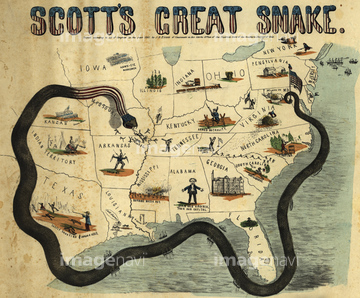
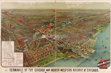
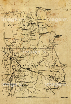
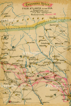
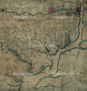
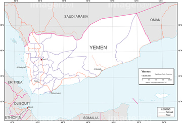
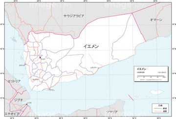
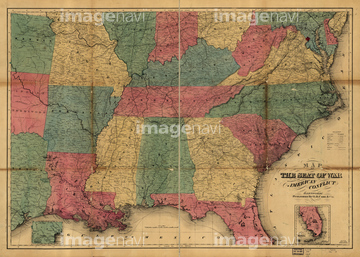
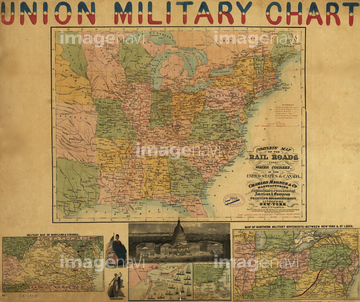
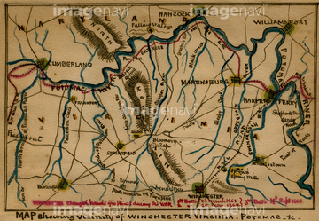
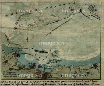
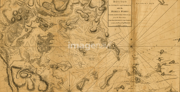
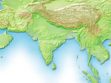
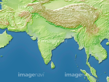
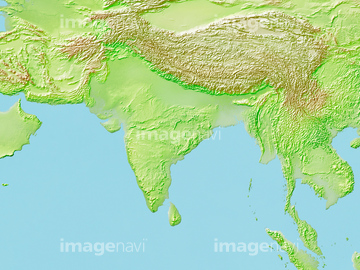
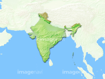
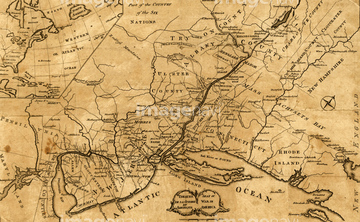
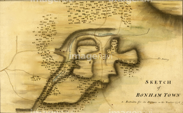
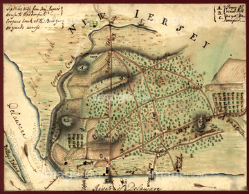
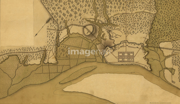
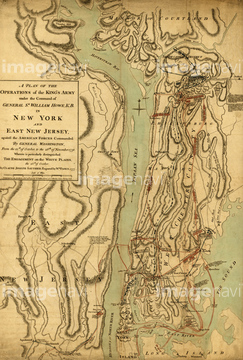
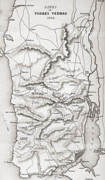
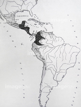
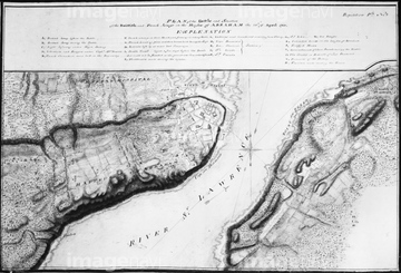
‚±‚جŒںچُŒ‹‰ت‚ة‚حپAƒCƒGƒپƒ“پ@چ‘پ@’nگ}پ@ƒAƒCƒRƒ“ پA’†‹ك“Œژü•س’nگ}پATerminals of the Chicago and North-Western RailwayپcپAMcNairy and Hardin, Tennessee, and Alcorn and TishپcپASherman's March to the SeaپAPotomac River, Va. : from Alexandria to below the پc‚ب‚ا‚ھٹـ‚ـ‚ê‚ؤ‚¢‚ـ‚·پB
51458553
51422940

51498295
41139650

14301310
14301311
14301312
51437069
51437143
51437090
51436899
51437082
51436500
30038110
51436478
51436546

51458507
51435567
19604538
19601707
51436543

51436573
51436577
51900819
51436033
51436425
51436429
51436468
51436507
51436874
51436904
51436908

51436911
51436912
51436913
51437076
51437141
51437142
41139622
41139654
41139652
51436686
51436209
51485882
41042074
51436228
51901344
51906138
51435901
14301241
14301242
14301243

14301244
14301249

14301250

14301251

14301252
14301253


51436542
51912292
51436421
51436464
51436471
51436485
51436503

51436875
51436884
51436885
51436886
51436887
51436902
51436906
51437075
51437077
51437079
51437084
51437096
51437110
51437153
64083023
51437063

51437064
51437102
51437120
51437137
30038124
51435521
51436894
51437081
51459280
51915909
51920842
51920631
64082769
| ژںƒyپ[ƒW |
