HOME > ژتگ^ > ڈو‚蕨پEŒً’ت > Œً’تƒCƒپپ[ƒW > ’nگ}
10,000Œڈ‚جژتگ^‘fچق‚ھŒںچُ‚³‚ê‚ـ‚µ‚½پB
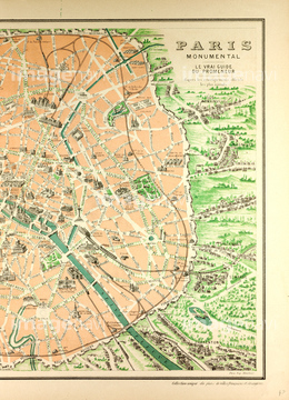
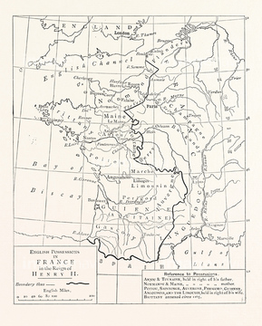
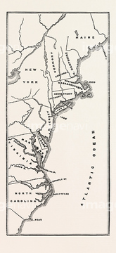
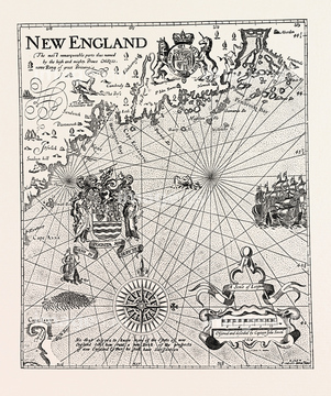
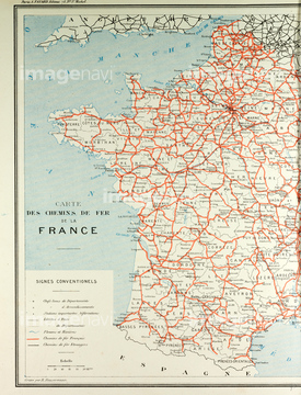
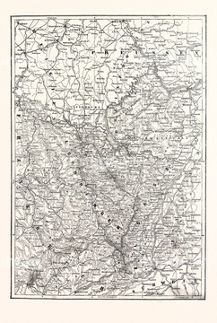
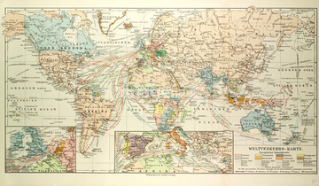
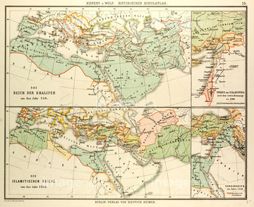
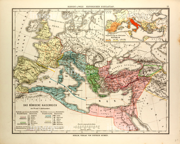
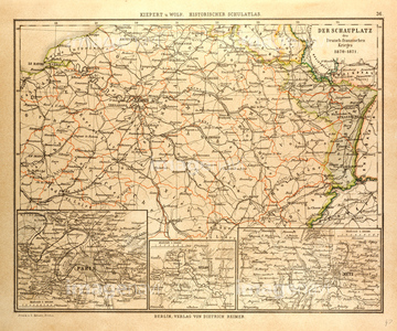
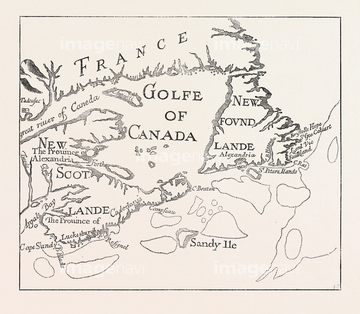
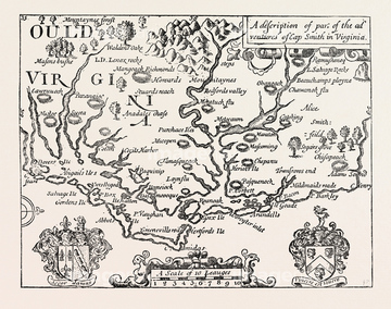
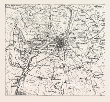
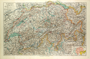
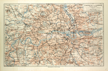
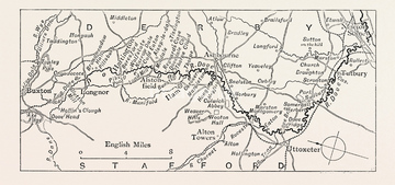
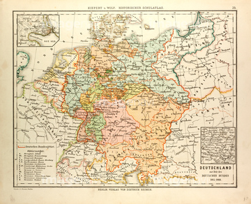
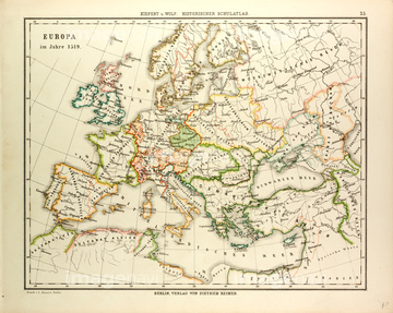
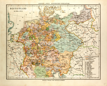
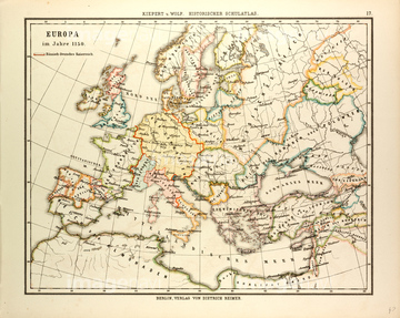
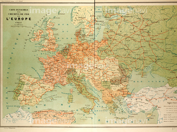
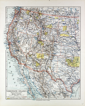
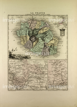
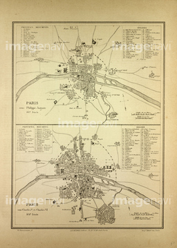
‚±‚جŒںچُŒ‹‰ت‚ة‚حپAPart Of Captain J. Smith's Map Of New EnglandپAMap Of French Railway LinesپAFranco-prussian War: Map Of Alsace And LorraineپAOld Map Of The WorldپAOld Map Of The AlpsپAMap Of Paris And Its Vicinity‚ب‚ا‚ھٹـ‚ـ‚ê‚ؤ‚¢‚ـ‚·پB
51472322
51468852
51470323
51482564
51482580
51472433
51472458
51467342
51465554
51472393
51482408
51483510
51477168
51480920
51464406
51479120
51483508
51478987
51482465
51482532

51468765

51472070
51473435
51472435
51472440
51472446
51472447
51472450
51472451
51472452
51472456
51472459
51478813
51472455
51472460
51472461
51472448
51472449
51472420
51472415
51478970
51477200
51477222
51480081
51481030
51481113
51467675
51480998
51478990
51479037
51481063
51465987
51472441
51472442
51472443
51472444
51472445
51472457
51472462
51472463
51472464
51483520
51472404
51472406
51472407
51472408
51472412
51472414
51472418

51472419
51472422
51472454
51472409
51472410
51472411
51472416
51472421
51472423
51472426
51472465
51482559
51483215
51472425
51463013
51468233
51480039
51462951
51477496
51481258
51469897
51466411
51487440
51466448
51466463
51466363

51483517
51466437
51483523

51479011
51465027

51466408
51466416
51466421
51466444
51466514
51466532
51466534
51466537
51466539
51466541
51466544
51466546
51466548
51466563
51466564
51466572
51466577
51466578
51466582
51466588
51466590
51466594
51466595
51466596
51466600
51466603
51466608
51466609
51466612
51466617
51466618
51466622
51466627
51466629
51466631
51466636
51466637
51466638
51466647
51466655
51466658
51466664
51466670
51466671
51466673
51466675
| ژںƒyپ[ƒW |
