HOME > ژتگ^ > ڈو‚蕨پEŒً’ت > Œً’تƒCƒپپ[ƒW > ’nگ}
10,000Œڈ‚جژتگ^‘fچق‚ھŒںچُ‚³‚ê‚ـ‚µ‚½پB
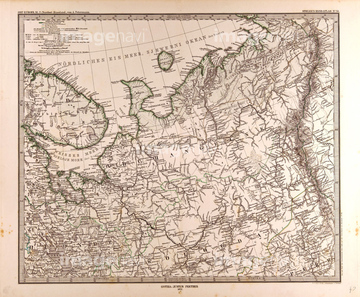
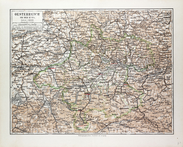
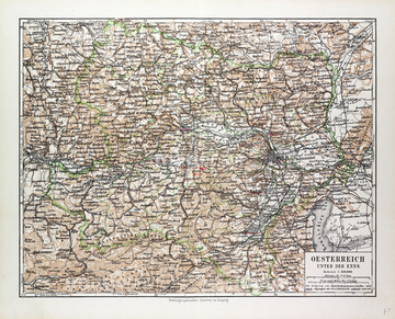
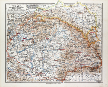
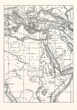
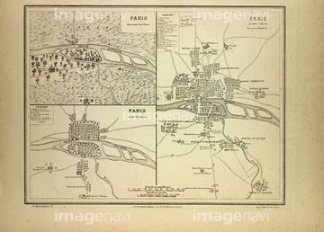
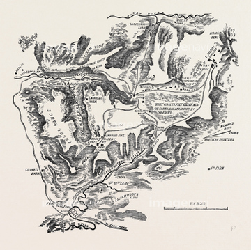
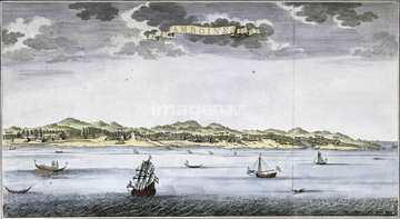
‚±‚جŒںچُŒ‹‰ت‚ة‚حپAMap Of Melun FontainebleauپAMap Of St. GermainپAMap Of LilleپAMap Of PrussiaپAMap, Canada, 19th CenturyپAMap Of European Railway Lines‚ب‚ا‚ھٹـ‚ـ‚ê‚ؤ‚¢‚ـ‚·پB
51472410
51472409
51472411
51472416
51472423
51472425
51472406
51472414

51472419
51472422
51472421
51472426
51472407
51472408
51472412
51472418
51472415
51472463
51472404

51466365
51472464
51472458
51472435
51472440
51472446
51472447
51472459
51470323
51472433
51472448
51472449
51472465
51472420
51472451
51472452
51463013
51468233
51472441
51472442
51472443
51472444
51472445
51472457
51472462
51462951
51472454
51472460
51472461
51477222
51466364
51481113
51481030
51466395
51466396
51466405
51466562
51466569
51466366

51466371
51466372
51466376
51466379
51466391
51466392
51466397
51466399
51466400
51466401
51466403
51466430
51466383
51466381
51466402
51467412
51467413
51472450
51472456
51472322
51472455
51468852
51466388
51466390
51466406
51466375
51480081
51482408
51466412
51466428
51466517
51466518
51466520
51466521
51466523
51466528
51466531
51466533
51466536
51466542
51466547
51466550
51466551
51466571
51466573

51466579
51466580
51466581
51466584
51466585
51466586
51466589
51466593
51466597
51466599
51466602
51466604
51466606
51466610
51466611
51466613
51466619
51466620

51466621
51466624
51466625
51466626
51466630
51466633
51466635
51466639
51466641
51466642
51466643
51466645
51466646
51466648
51466649
51466650
51466652
51466654
51466656
51466661
51466662
51466667
51466669
51466674
51466677
51466678
51466688
51466690
51466693
51466694
51466696
51466697
51466698
51466709
51466713
51466716
| ژںƒyپ[ƒW |
