HOME > ژتگ^ > ڈو‚蕨پEŒً’ت > Œً’تƒCƒپپ[ƒW > ’nگ}
10,000Œڈ‚جژتگ^‘fچق‚ھŒںچُ‚³‚ê‚ـ‚µ‚½پB
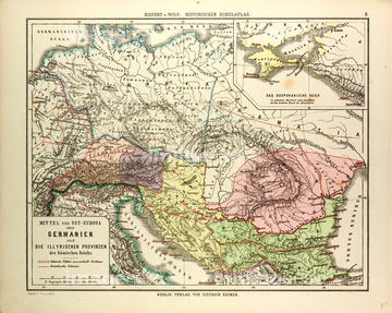
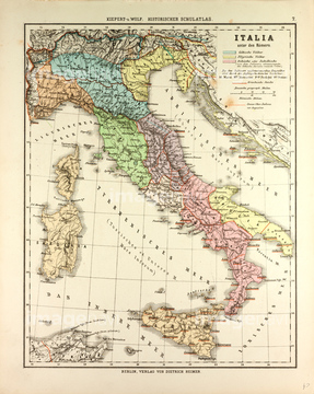
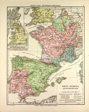
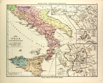
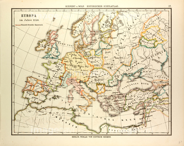
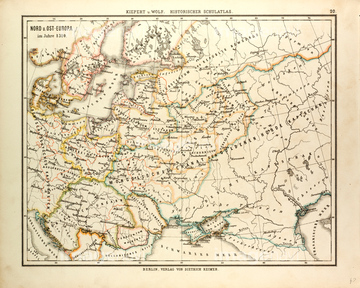
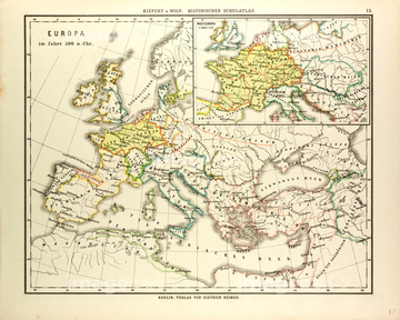
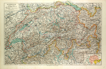
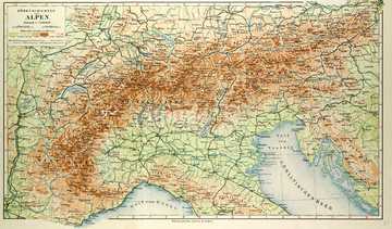
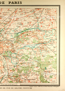
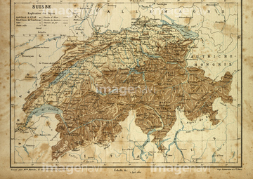
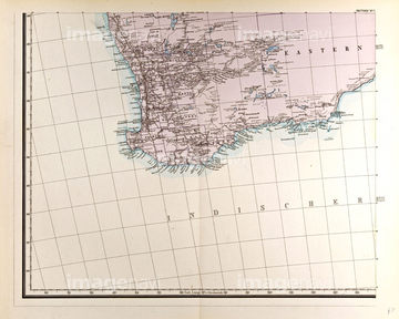
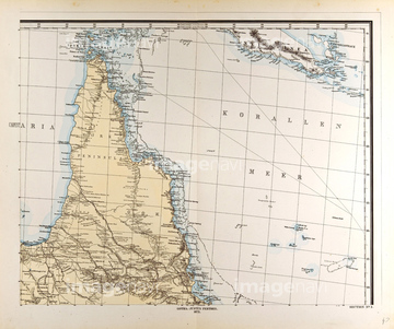
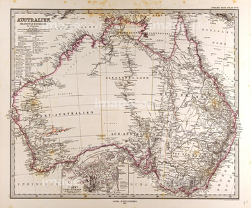
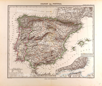
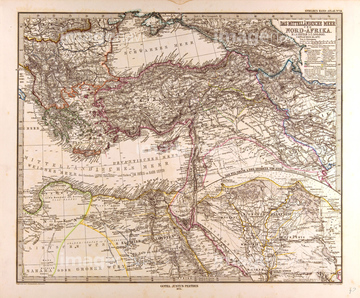
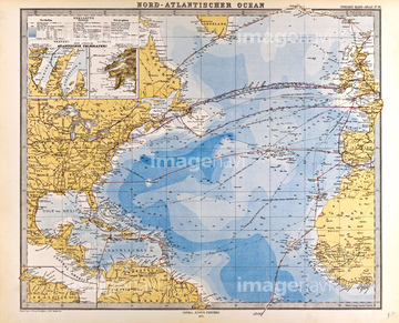
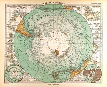
‚±‚جŒںچُŒ‹‰ت‚ة‚حپAMap, Canada, 19th CenturyپAMap Of District Of ColumbiaپAMap Of The Moon, 1833پAOld Map Of The WorldپAOld Map Of The AlpsپAMap Of Paris And Its Vicinity‚ب‚ا‚ھٹـ‚ـ‚ê‚ؤ‚¢‚ـ‚·پB
51472433
51472409
51472410
51472411
51472416
51472423
51472425
51472420
51472415
51472406
51472414

51472419
51472422
51472421
51472426
51472463
51472404
51472407
51472408
51472412
51472418

51466365
51472458
51463013
51468233
51472435
51472440
51472446
51472447
51472451
51472452
51472459
51472464
51462951
51470323
51472322
51472460
51472461
51472448
51472449
51472465
51468852
51472441
51472442
51472443
51472444
51472445
51472450
51472456
51472457
51472462
51472454
51472455
51466367
51481113
51481030
51466383
51466430
51465554
51477222
51466364
51466395
51466396
51466405
51466562
51466569
51466366

51466371
51466372
51466376
51466379
51466388
51466390
51466391
51466392
51466397
51466399
51466400
51466401
51466403
51466406
51482408
51483510
51466375
51466381
51466402
51463676
51463682
51463701

51463713
51463717
51463718
51479120
51466411
51483508


51482465
51482532
51482564
51482580
51466363
51466448
51466463
51466549
51466676
51468765

51472070
51473435
| ژںƒyپ[ƒW |
