HOME > ژتگ^ > ڈو‚蕨پEŒً’ت > Œً’تƒCƒپپ[ƒW > ’nگ}
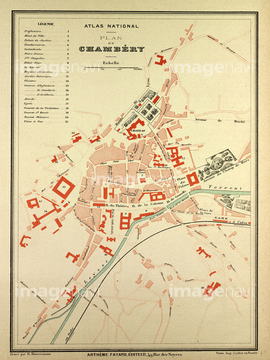
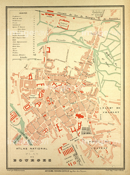
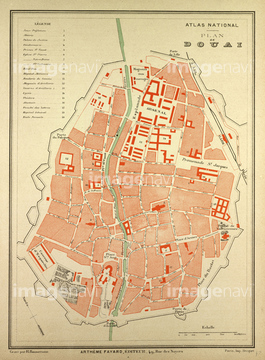
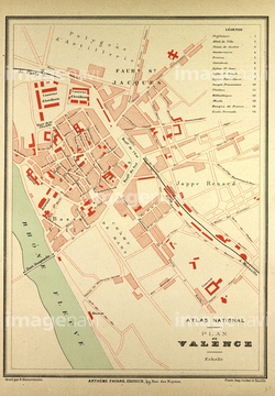
10,000Œڈ‚جژتگ^‘fچق‚ھŒںچُ‚³‚ê‚ـ‚µ‚½پB
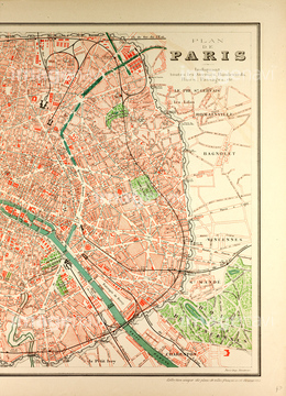
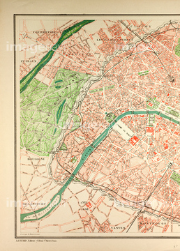
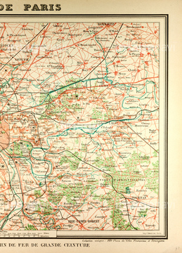
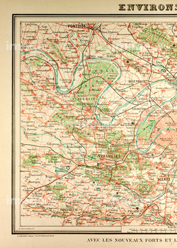
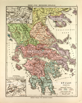
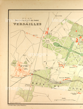
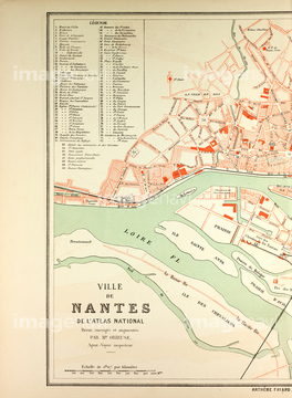
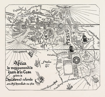
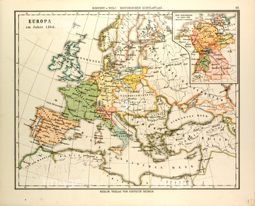
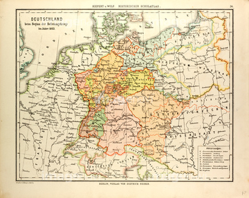
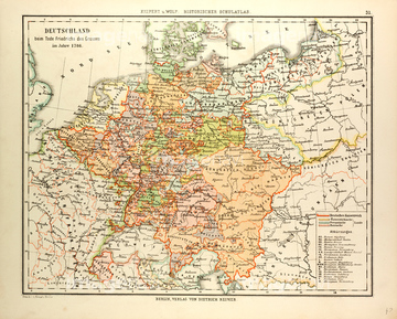
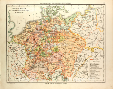
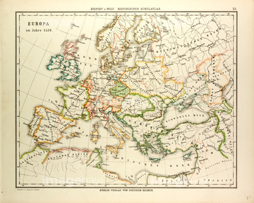
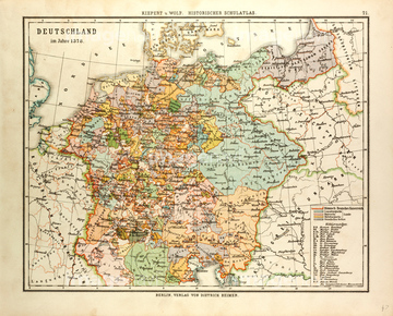
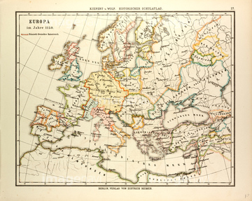
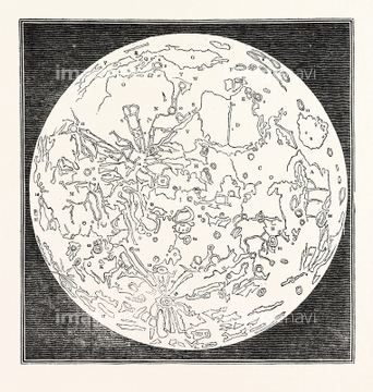
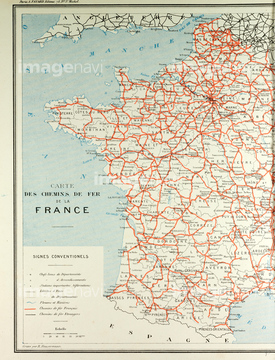
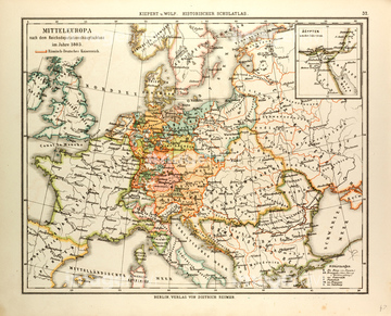
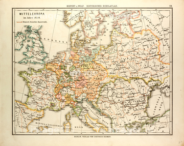
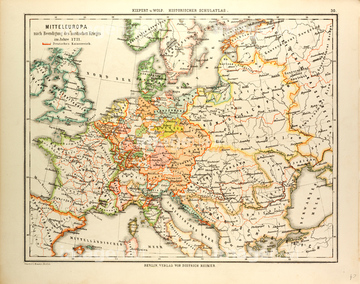
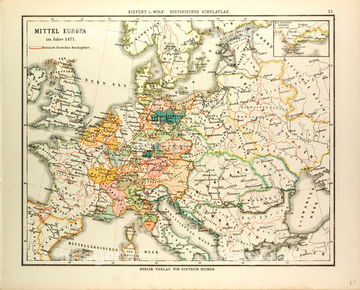
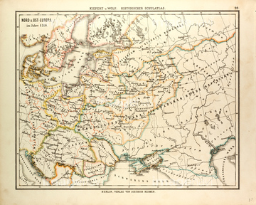
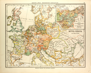
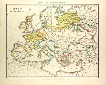
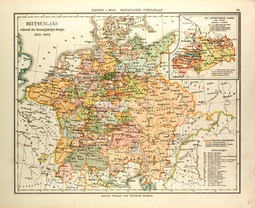
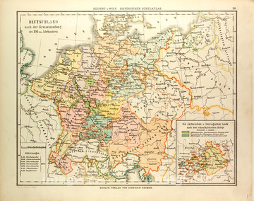
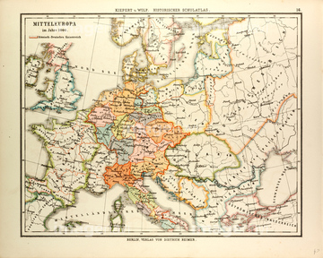
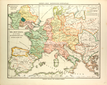
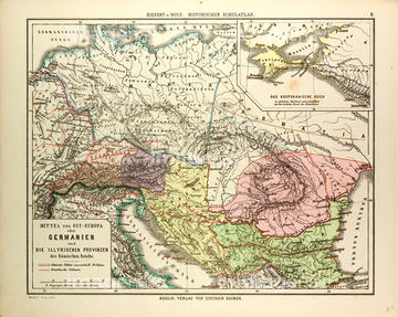
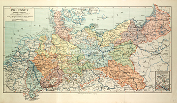
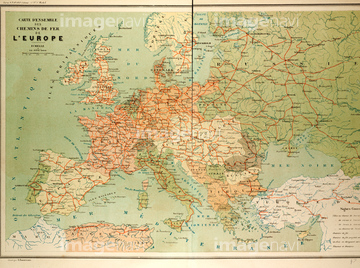
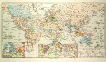
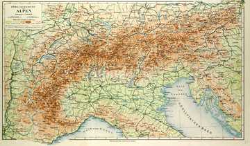
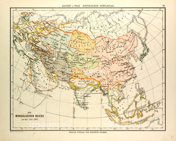
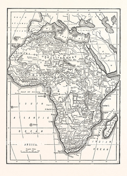
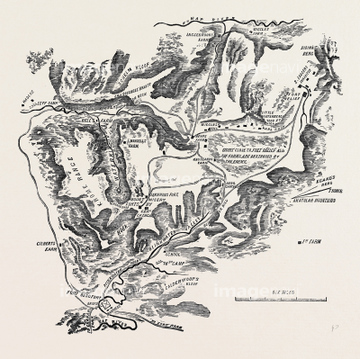
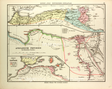
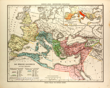
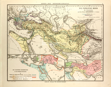
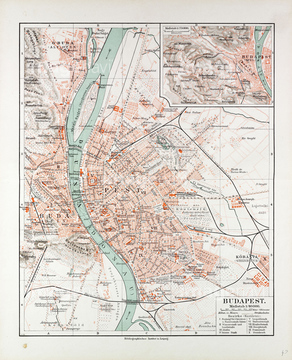
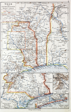
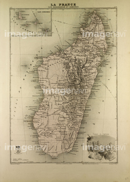
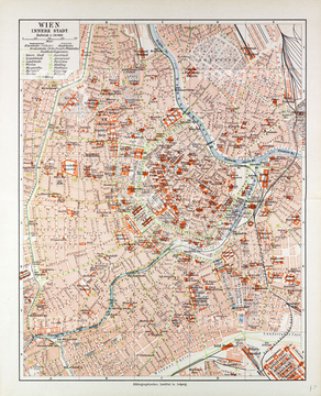
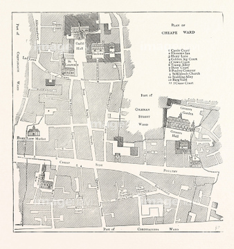
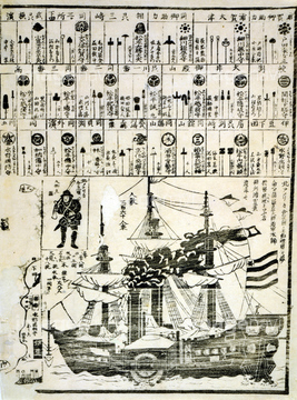
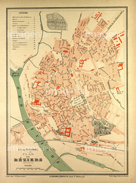
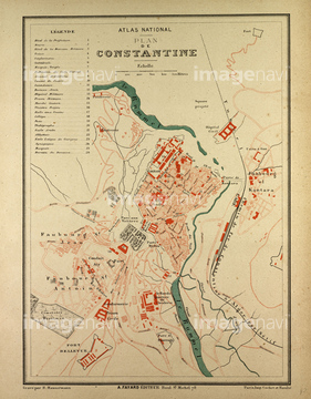
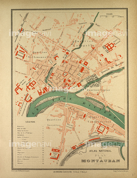
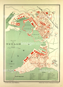
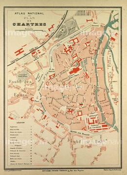
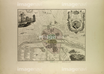
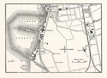
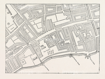
‚±‚جŒںچُŒ‹‰ت‚ة‚حپAMap Of Europe In 1400پAMap Of Europe In 1150پAMap Of The Moon, 1833پAMap Of French Railway LinesپAMap Of Central Europe In 1803پAMap Of Central Europe In 1650‚ب‚ا‚ھٹـ‚ـ‚ê‚ؤ‚¢‚ـ‚·پB
51472452
51472451
51466702
51464554
51466561
51463504
51463508
51466704
51467411
51463503
51470350
51463507
51472446
51472447
51472448
51472449
51472458
51477539
51472464
51472465
51472435
51472440
51472459
51472433
51463499
51466446
51463013
51468233
51472463
51472450
51472456
51462951
51470323
51472404
51472406
51472407
51472408
51472412
51472414
51472418

51472419
51472422
51472322
51472455
51472409
51472410
51472411
51472416
51472421
51472423
51472426
51472415
51472425
51473435
51464649
51472441
51472442
51472443
51472444
51472445
51472457
51472462
51472454
51472460
51472461
51472420
51477168
51468852
51466451
51466406
51466448
51467408
51487440
51466437
51477200
51466706
51466667
51466450
51466372
51466397
51466418
51466424
51480920
51463676
51464406

51466408
51466416
51466421
51466514
51466532
51466534
51466537
51466539
51466541
51466544
51466546
51466548
51466563
51466564
51466572
51466577
51466578
51466582
51466588
51466590
51466594
51466595
51466596
51466600
51466603
51466608
51466609
51466612
51466617
51466618
51466622
51466627
51466629
51466631
51466636
51466637
51466638
51466647
51466655
51466658
51466664
51466670
51466671
51466673
51466675
51466687
51466703
51466712
51466715
51466726
51466727
51466729
51466733
51466736
51466737
51466742
51466753
51466757
51466758
51466760
51466763
51466768
51466769
51466775
51467412
51467413

51472070
51463498
51478987
51466388
51466390
51466411
51466430
51466452
51466460
51466527
51466535
51466543

51466555
51466567
51466576
| ژںƒyپ[ƒW |
