HOME > ژتگ^ > ڈو‚蕨پEŒً’ت > Œً’تƒCƒپپ[ƒW > ’nگ}
10,000Œڈ‚جژتگ^‘fچق‚ھŒںچُ‚³‚ê‚ـ‚µ‚½پB
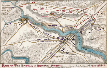
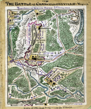
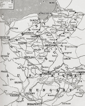
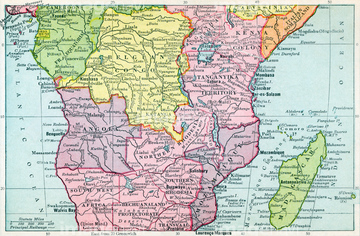
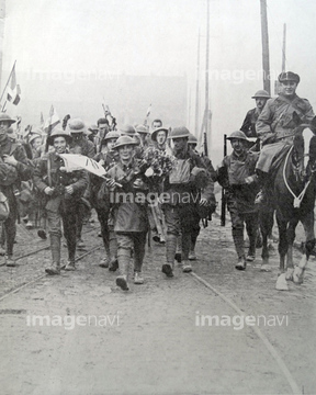
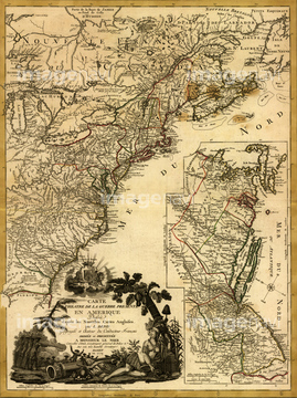
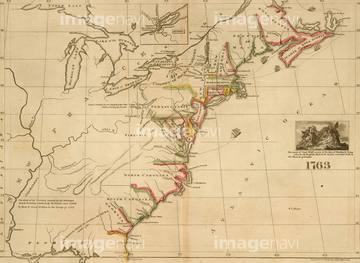
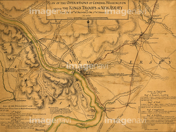
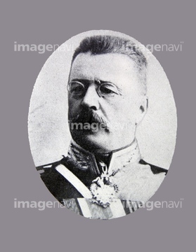
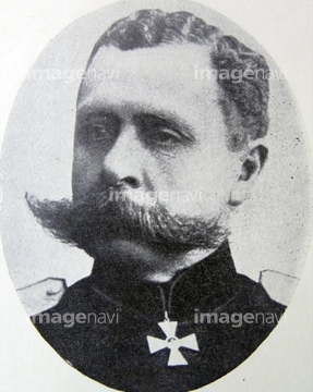
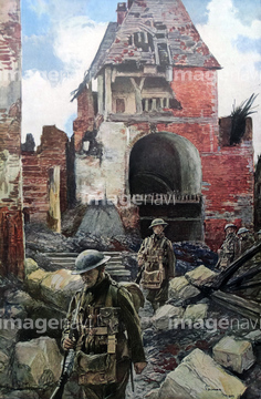
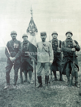
‚±‚جŒںچُŒ‹‰ت‚ة‚حپAFrench generals Joffre and Balfourier.پAHorn of Africa - 1969پAMilitary Map of the United states - 1863پAMap of Eastern Virginia & The ChesapeakeپAMap Of The Lines Of Torres VedrasپAThe War Map of Western Europe‚ب‚ا‚ھٹـ‚ـ‚ê‚ؤ‚¢‚ـ‚·پB
51485882
51436149
51920842
51920631
51920850
51436209
51920649
51920845
51498295
51980422
51920713
51920653
51485880
51920342
51977128
51920654
51920650
51920651
51920652
51920851
51920712
51920737
51920499
51920266
64082769
51458553
51437082
51436500

53135711
51436151
51459280
53133480
51436464
51436471
51436485
51436884
51436885
51436886
51436887
51437153
51437084
51436899
51920551
51436894
51436041
51436542
51436033
51920245
51490161
51490444
53135710
51436543
51436421
51436503

51436875
51436902
51436906
51437075
51437077
51437079
51437096
51437110
51492386
51490194
51490272

51436911
51436912
51437090
51436468
51436507
51436904
51437081
51485886
51490137
51490253

51458507
51485884
51490449
51490355
51436572
51458936


51489056
51489058
51489361
51492387
51492388

51490193
51490346
51490378
51490408
51490440
51490442

51490482


51494254
51490501
51485858
51490139
51490142
51490177

53115782
51941637
51490038
51490232
| ژںƒyپ[ƒW |
