HOME > ژتگ^ > ڈو‚蕨پEŒً’ت > Œً’تƒCƒپپ[ƒW > ’nگ}
10,000Œڈ‚جژتگ^‘fچق‚ھŒںچُ‚³‚ê‚ـ‚µ‚½پB
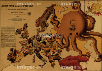
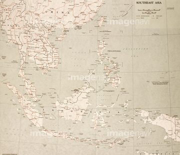
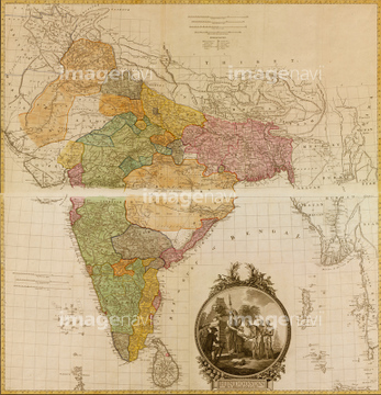
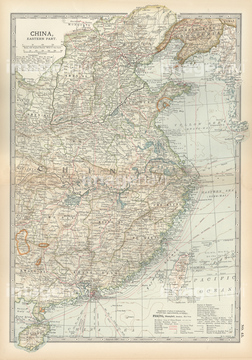
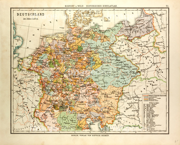
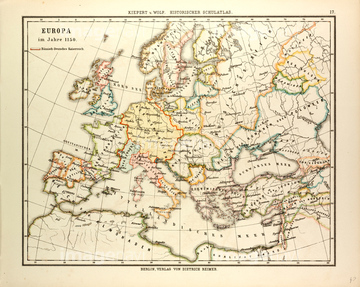
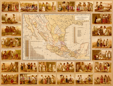
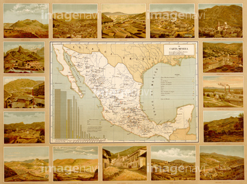
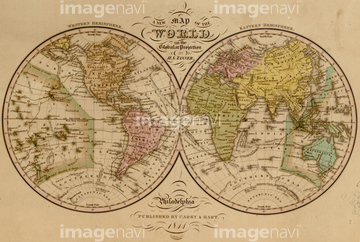
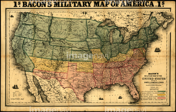
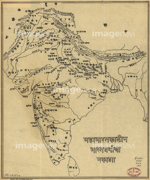
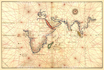
‚±‚جŒںچُŒ‹‰ت‚ة‚حپAA map of the world.پAIndia - 1903پAA map of the county of CorkپAMap Of South And West Europe After 843 A.D.پAMap Of Central And Eastern Europe During The RomanپcپAASIA MAP, 19th CENTURY.‚ب‚ا‚ھٹـ‚ـ‚ê‚ؤ‚¢‚ـ‚·پB
51489931
51435844
51458511

51458513
51435909

51436216
51436324
51481063
51466701

64052692
51436352
51484968
64082784
51435563
51437257


51417174


51436223

51436355
51464406

51422774

51487433
51430889
51436304
51436305
51436311
51436351
51463682
51905714
51911501
51436353
51435542

53132940
51481113
51494860
51436201
64083481
51902648
51480998
51436208
64083517
10918538
10918543

51423095
51436301
51436314


51417178


51436244
51904239
64083429
51906135
51904929
51459551

51459589
51472463
51472464

64055081
51480039

51421899

51421905
51417176
51470323
51910938

51436264
51472404
51472406
51472407
51472408
51472412
51472414
51472418

51472419
51472422
51435709
51435712
51435714
64083105
64083106

51472448
51472449
51472409
51472410
51472411
51472416
51472421
51472423
51472426
51472465
51435548
51435839

51436273
51417110

51472415
51472425

51436651
51435846
51435518
51436322
51435543
51436294

51417184
51435910
51436356
51435772
51435843
51435770
51435907

51436349
51435830
51465987
51480920
64082996
51417175
51498295


| ژںƒyپ[ƒW |
