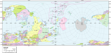
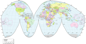
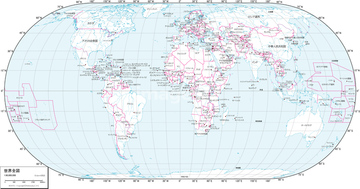
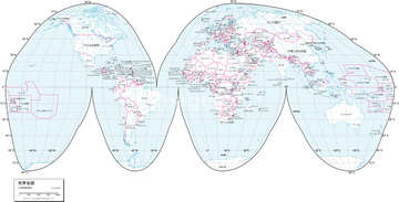
HOME > ژتگ^ > ڈو‚蕨پEŒً’ت > Œً’تƒCƒپپ[ƒW > ’nگ}
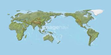
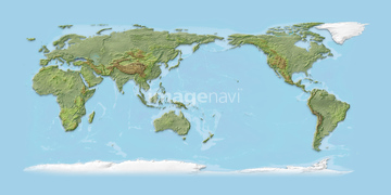
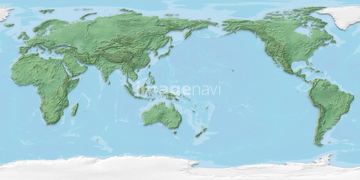
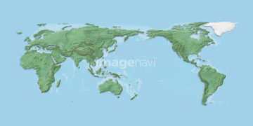
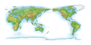
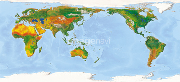
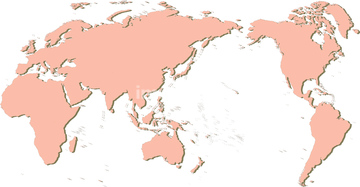
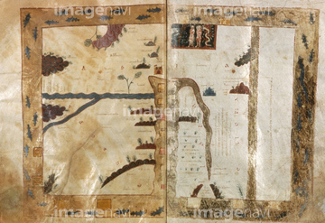
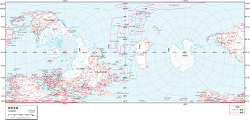
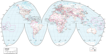
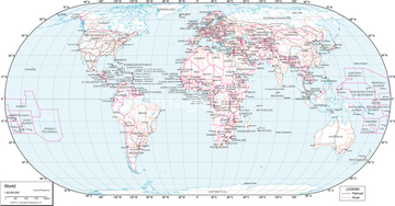
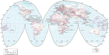
10,000Œڈ‚جژتگ^‘fچق‚ھŒںچُ‚³‚ê‚ـ‚µ‚½پB
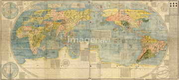
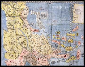
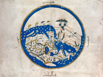
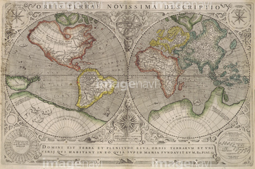
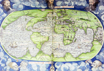
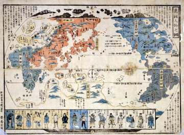
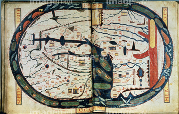
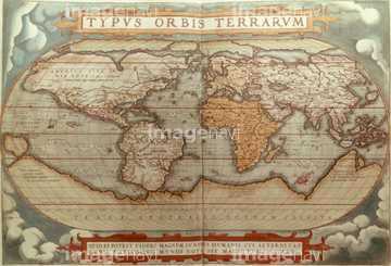
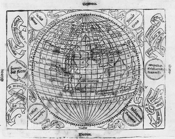
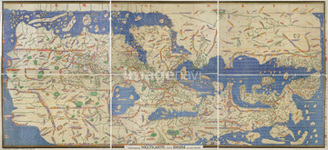
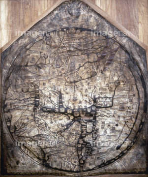
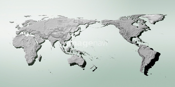
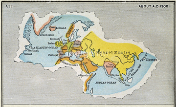
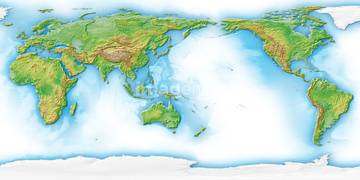
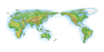
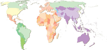
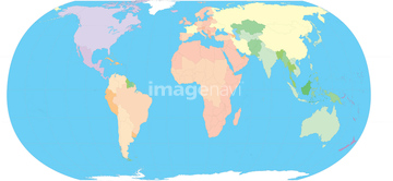
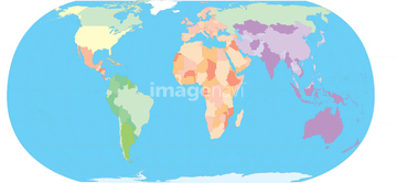
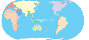
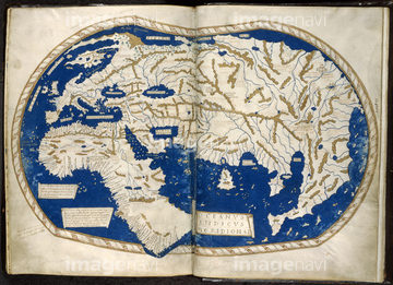
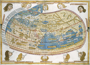
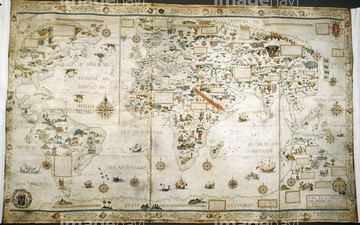
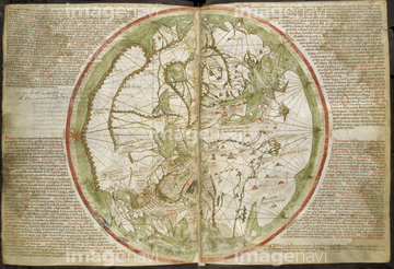
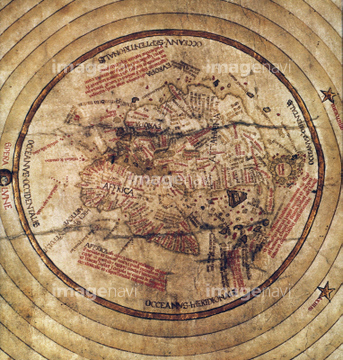
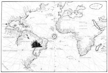
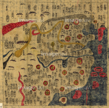
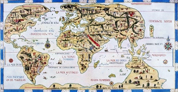
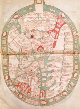
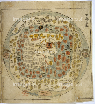
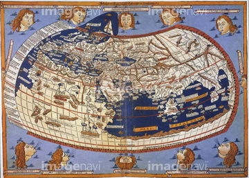
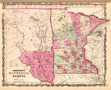
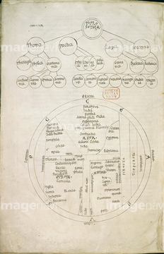
‚±‚جŒںچُŒ‹‰ت‚ة‚حپAMap of the world.پAWorld Map 1716پAWorld Map - 1705پAMedieval 10th century World map by Estakhri.پAEarth - 1531 - world map 1531پAFra Mauro map‚ب‚ا‚ھٹـ‚ـ‚ê‚ؤ‚¢‚ـ‚·پB
51495010

64052702

64055079

64055082

64055076

51436380
51932222


51435744
51902209

51424033
64082631
64082632
64082639
64082665
64082667
51489953
51936583
51494860

51435746
51938834


51902153
51902154

64052691
51905470


64055073
64082674


51435558

51435559

51435560

51435561

51435562

64052698

51904111
51906159
51902260
51901286
53107612
64083427
64045004
51906172
51933465
51491276
51435517
51487433

51435745

51436381

51436390
53107570
51437218
51437220
64082614
14301048
14301049
14301050
14301051
14301052
14301053
14301054
14301055
14301056
14301057
14301058
14301059
14301060
14301061
14301062
14301063
14301064

14301065
14301069
14301070

14301071

14301072

14301073
51904056
14301045
14301046
14301047
70093225

16907754

16907762
16907916
51902854
51902300
51902245
40561444
16907747
16907773
16907917

17265925
30026690

10918136
10918567

16907748
16907755
16907756
16907761
51901369
51436241
51436392

51436205
51436206
64082620
64082668
51902175
19601606
19601612
19601615
19604684
19604687
19604690

64149791
51492537
51492549
19600778
19600784
19600787
19600228
19600237

51435748
64082630
64082638
64082660
64082672
40557042
40557044
40561442
40561445
51905370
64082666
64082798
51435523
51902987
51907059
51902335
64083411

51435740
64083480
51932833
51435529
51906157
51906166
53127397


51435535

14301066
14301067
14301068

64055077
16907884
16907889
16907919

16907921
30035590
30047041
51904089

51430900

51411444

10918572

10918573

10918584

17265926
51902325
51902843
51435516

64052692
51491947
10903460
51901551

51487425

51902114
64082700
64082617
64082618
51902749
51435807


64082692

51430892
| ژںƒyپ[ƒW |
