HOME > 写真 > イラスト・CG > 美術 > ルネサンス
10,000件の写真素材が検索されました。
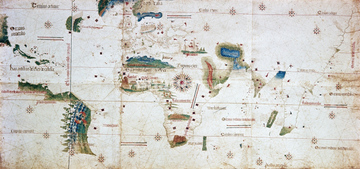
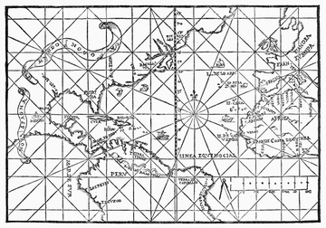
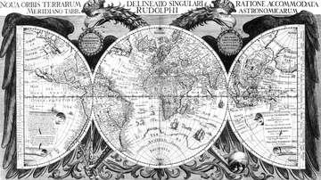
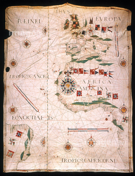
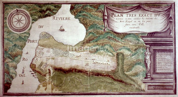
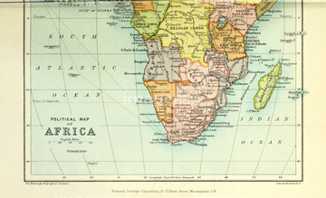
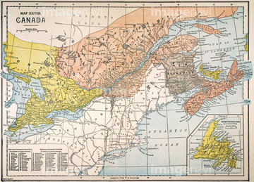
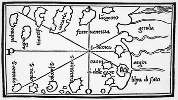
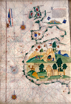
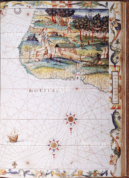
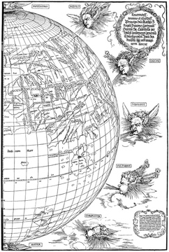
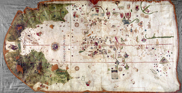
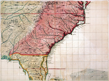
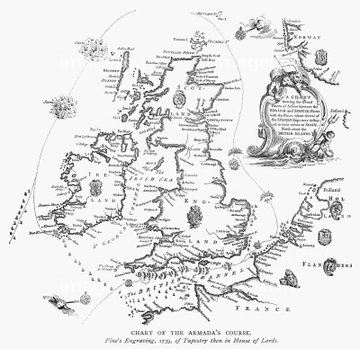
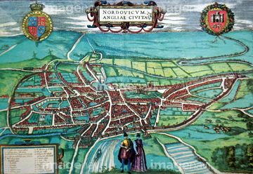
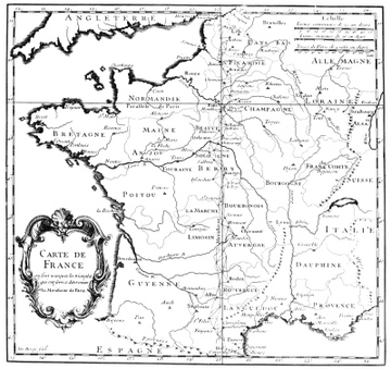
この検索結果には、Portuguese sea chart, 16th century、NORTH AMERICA: MAP, c1585.、PORT ROYAL, ACADIA, 1636.、20th century political map of Africa、World Map 1602、Map of Europe 1602などが含まれています。
51902605
51906374
51901369
51902365
51904052
51903953
51903263
51901141
51902843
51903086
51904118
51903381
51906147
51902397
51913530
51912287
51903029
51914598
51906148
51903218

51903315
51903609
51902748
51912289
51902052
51908872
51903316
51901370
51902175
51906158
64045004
51901354
51912854
51902788
64044503
51902855
51905469
51904931
51914528
51913594
51901321
51903243
51904927
51903924
51904932
51904933
51912855
51903317
64046155
64046156
51901564
51912291
64248563

51411444

51411445

51411446

51411447

51411453

51411454

51411455

51411466

51411467

51411469

51411470

51411503

51411516

51411448

51411457

51411459

51411468

51411505

51411506

51411508

51411509

51411513

51411523

51411524
51904053

51411449

51411452


51411461

51411462

51411464

51411465

51411502

51411504

51411511

51411512


51411517

51411518

51411519

51411520

51908715
51914200
51906928
51901345
64248562
51903134
51912290

51411451

51411460

51411463
51411507


51411521

51411522
64046166
64044501
51921910
51915054
51902327
51900827

51910291
64046159
51914092
51907700
51902808
51904934
51901375
51909424
51909468
51910872
51955119
51952264
64046157
51913602
51902979
51948544
51913161
51924339
51912288
51901091
51901092
51915908
51901357
51961655
51964119
51968194
51906166
51901374
51902326
51901505
51913103
51904935
51906965
51921369
51901326

64149791
51967536
64191575
51439553
51923311
51923896
51902218
51439552
64159602
51915909

51411456
51904873
64248560
64089037
51904034
51901470
51906136
64245773
51904110
51902220
51903084
51903829
51912803
53118368
51902585
51921609
51903650
51913529
51903726
51941967
51955454
51962970
51930176
51906140
51950260
51904087
51904929
51906853
51943647
51904088
51904283
51910358
51921330

64044440
51435689
| 次ページ |
