HOME > ژتگ^ > ڈو‚蕨پEŒً’ت > Œً’تƒCƒپپ[ƒW > ’nگ}
10,000Œڈ‚جژتگ^‘fچق‚ھŒںچُ‚³‚ê‚ـ‚µ‚½پB
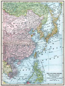
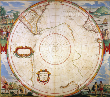
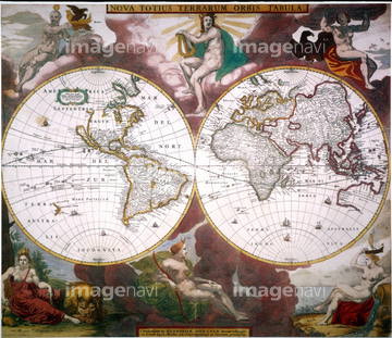
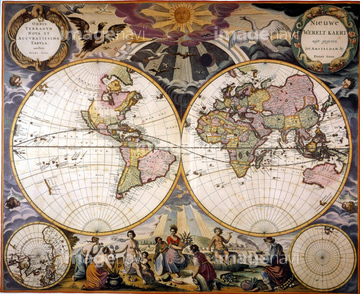
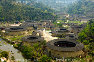
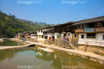
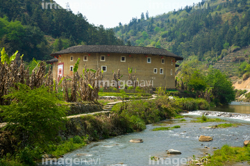
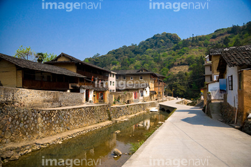
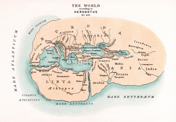
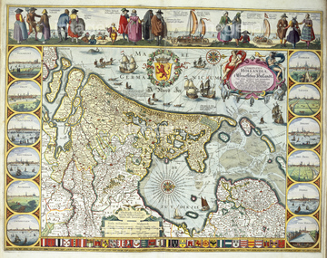
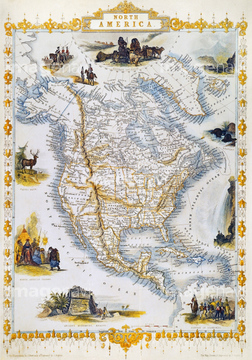
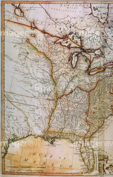
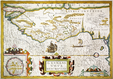
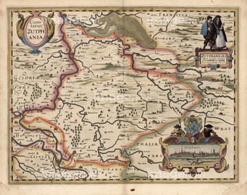
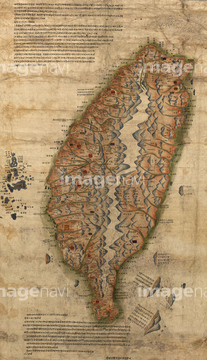
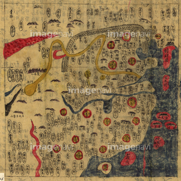
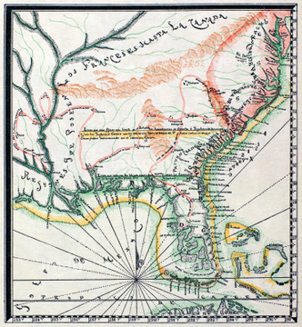
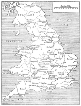
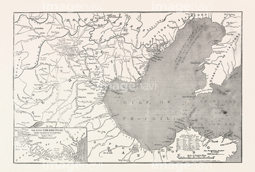
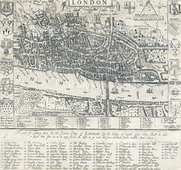
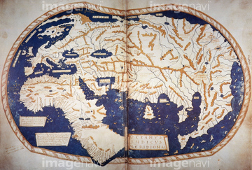
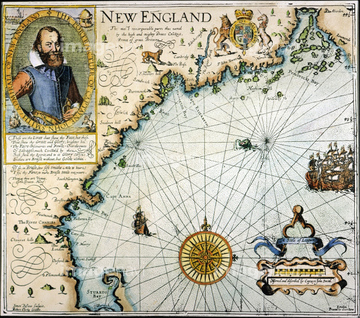
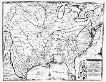
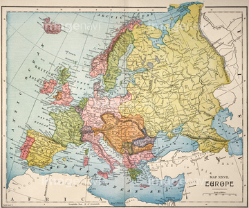
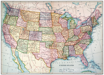
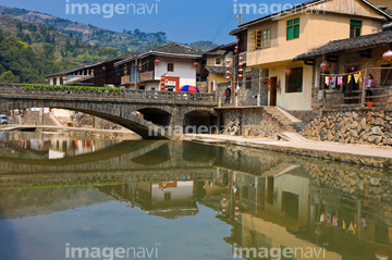
‚±‚جŒںچُŒ‹‰ت‚ة‚حپAChina, Fujian Province, Nanjing County, Shuyang ToپcپAMAP OF FRANCE, c1900.پAWORLD MAPپAMap of HollandپANORTH AMERICAN MAP, 1851.پAUSA MAP, 1793.‚ب‚ا‚ھٹـ‚ـ‚ê‚ؤ‚¢‚ـ‚·پB
51903362

51435561
51904089
51903882
51902245

51435562


51435558

51435559

51435560
51904286
51903478
51903856
51903857
51906154
51902585
51905212
51904361
51435517
51908330
51903213

51903084
51903418
51903476
51903829
51916198
51901347
51906136
51435540
51914353
51912791
51912934
51912935
51901344
51905037
51905038
51906135
51906138

51411502
51912823
51912959
51902345
16919000
16919024


51902926
51901286
64082724
51903060
51903421
51901507
51435547
51435516


64052692
51906140
51495010
51902869
64083417
51901551
51914333
51914486
51904282
51902248
51904925
51906139
51906153
51903205
51480039
51489955
51911824
51904281
51904920
51911492
14301179

14301180

14301181

14301182
51912289
51913044
51913634
51914549
51904283
51901341
51901369
51901470
51904929
51904930
51904931
51906134

51411444

51411445

51411446

51411447

51411453

51411454

51411455

51411466

51411467

51411469

51411470

51411503

51411516
51439553
51903264
51903382
51903596
51903650
51903651
51904034
51904087
51993845
51901337
51902239
51902605

51411448

51411457

51411459

51411468

51411505

51411506

51411508

51411509

51411513

51411523

51411524
51439552
51439676
51903214
51903477
51904088
51460122
51437249
30038117

51457910
51904109
51904110
51904239

51411449

51411452


51411461

51411462

51411464

51411465

51411504

51411511

51411512


51411517

51411518

51411519

51411520

51903515

51912615
51436229
51912669
31178285
31170043
51435530
51435532
51435533
51435534
14301347
14301348
14301349
14301350
14301351
14301352

14301353

14301354
14301355
14301356
14301357
14301358
64082647
| ژںƒyپ[ƒW |
