HOME > ژتگ^ > ڈو‚蕨پEŒً’ت > Œً’تƒCƒپپ[ƒW > ’nگ}
10,000Œڈ‚جژتگ^‘fچق‚ھŒںچُ‚³‚ê‚ـ‚µ‚½پB
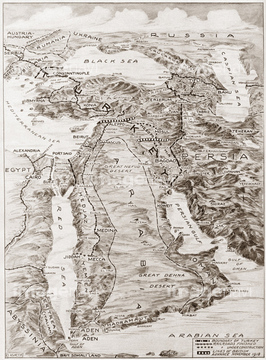
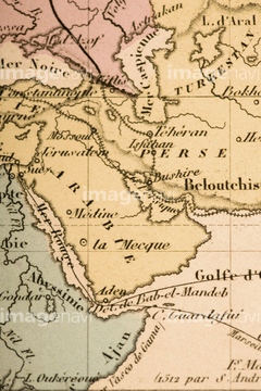
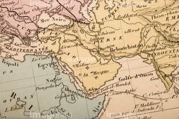
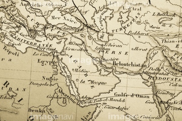
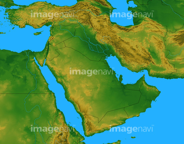
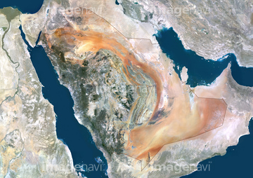
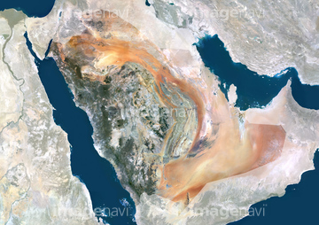
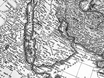
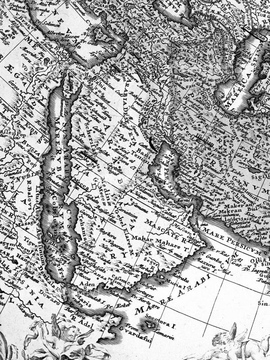
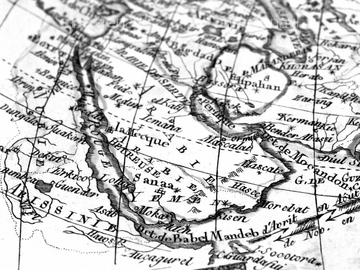
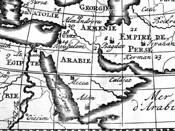
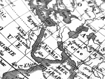
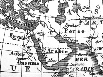
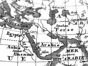
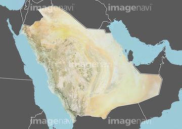
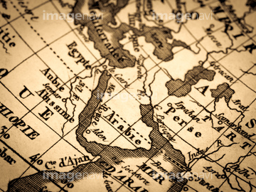
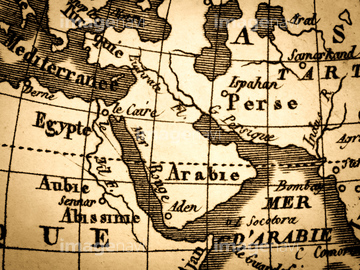
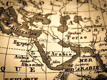
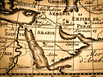
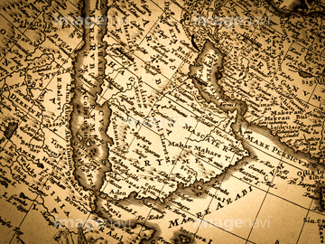
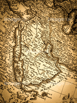
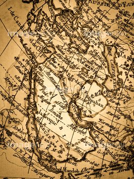
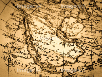
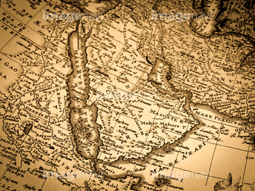
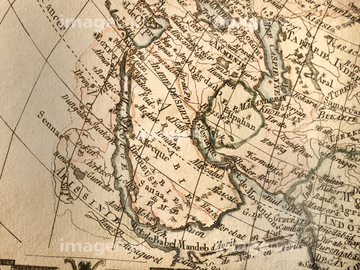
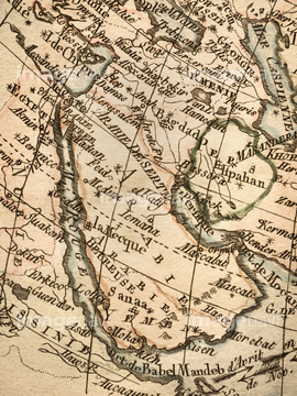
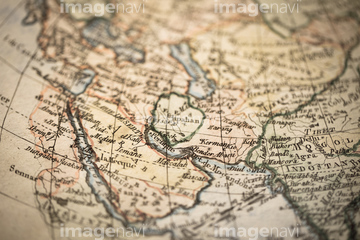
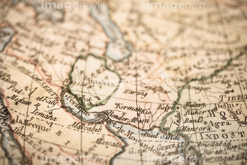
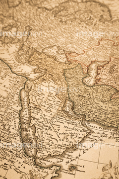
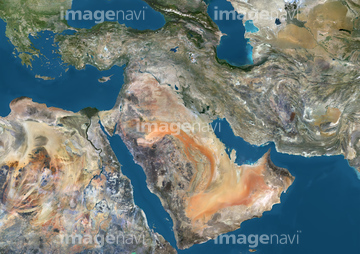
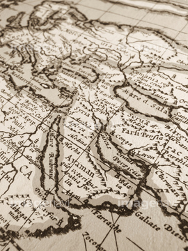
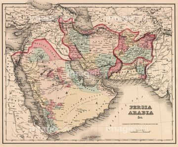
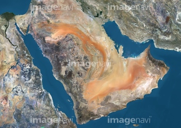
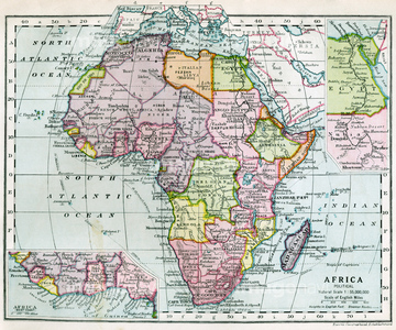
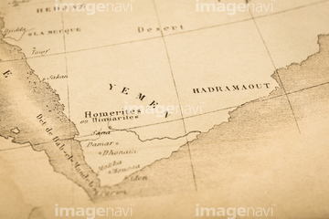
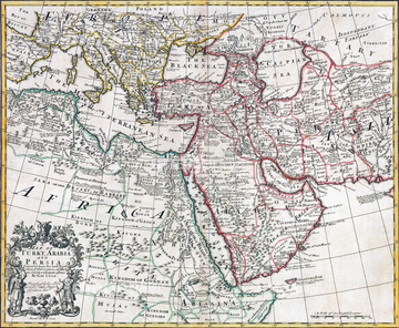
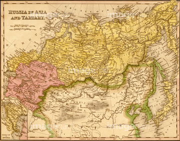
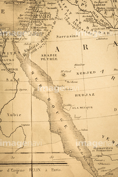
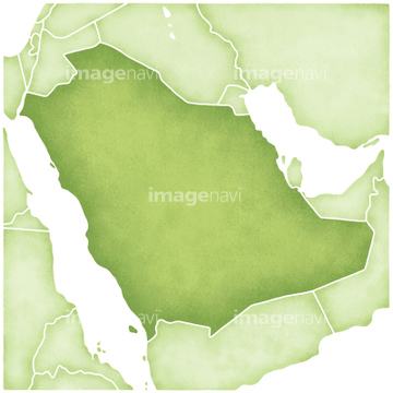
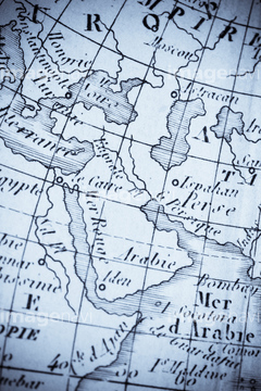
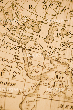
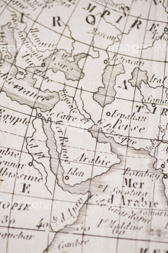
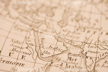
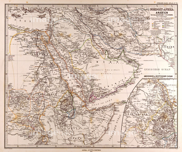
‚±‚جŒںچُŒ‹‰ت‚ة‚حپAŒأ’nگ}پAƒAƒ“ƒeƒBپ[ƒN‚جگ¢ٹE’nگ}پ@’†“ŒپAƒAƒ“ƒeƒBپ[ƒN‚جگ¢ٹE’nگ}پ@ƒAƒ‰ƒrƒA”¼“‡پASaudi Arabia, Relief Map with Border and MaskپASaudi Arabia, Relief Map with BorderپAƒAƒ“ƒeƒBپ[ƒN‚جŒأ’nگ}پ@ƒAƒ‰ƒrƒA”¼“‡‚ب‚ا‚ھٹـ‚ـ‚ê‚ؤ‚¢‚ـ‚·پB
51920499
51920851
40860997
40861030
40861055
40861056
40861057
30014855
51920842

51920631
51920737
51920850
51920845
40562923
51920712
51920649
30038110
51920653


41421531
41421532
41421533
41421534
41421535
41421536
41421537
41421538
51920713
51920245
51920266
51920342
51920650
51920651
51920652
51920654
51912769
51485882
51920849
51481113

41455275
41455276
51451406
41421835
41421836
41421837
41421838
41421839
41421840
41421841
41421842
41421843
41087345
41087346
41087400
41087401
40560194

40515437
64151690
40860900
40860901
51436209
51920843

51920844
51920551
51485880
51920251
51920854
51436149

51980422
51914499
40562991
51919832
51912770
51917940
51920238
51920542
51977128
51920548
51920057
51494195
51494218
51920054
51920058
64217857
51498295
51459280
51468852
40534572
40534573
51465987
51436298
51458936
51494152
51494193
51494260
51494269
51919926
64085933
51496900
51920699
51912878
51917945

51498293
51912671
51917408
51422966
51436317
51436354
51436365
51435563
51435904

51435908
40562926
51908682
51905715
51914581
51915234
51917660
51918834
51918835
51914572
51920404
41226051
51480039
51937140
51914588
51494149
51494186
53111522
51951215
51951216
51951217
51951218
51920479
51920583
51477497
40504646
40504647
40504648
40504659
51920627
51920628
51492432
51494238
64098665
51914388
51912858
51913613

51913616
51917797
51920617
51912423
51917800
51917801
51920388
| ژںƒyپ[ƒW |
