HOME > 写真 > イラスト・CG > CG > 地球・宇宙のイメージ
10,000件の写真素材が検索されました。
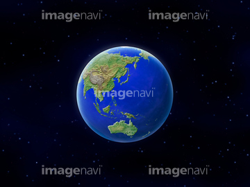
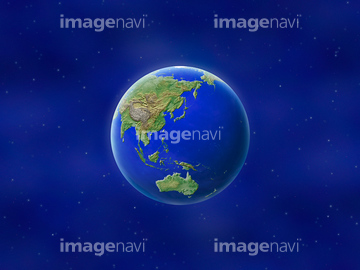
この検索結果には、地球 黒背景、地球 白背景、地球イメージ 白背景、地球イメージ雲あり 白背景、地球イメージ 黒背景、地球 日本などが含まれています。
51987913
51987959
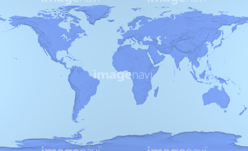
51988567
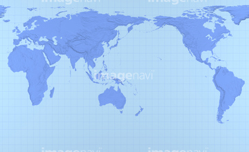
53126687
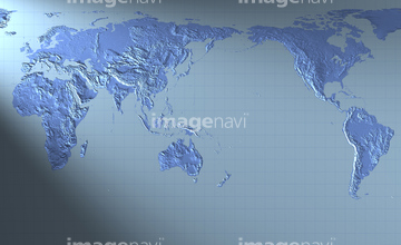
53126683
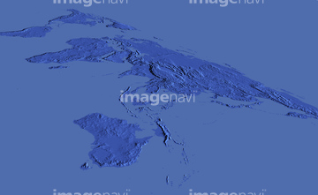
51988608
10918555
10918556
64037990
51987916
10918537
10918554
10918568
10918569
10918570
10918576
10918578
10918579
10918871
14300001
14300002
14300005
14300006
14300011
14300012
14300013
14300014
14300015
14300016
14300017
14300018

14300019
14300020
14300021
14300022
14300023
14300024
14300025
14300026
14300027
14300028
14300029
14300030
14300031
14300032
14300033
14300034
14300035
51988975
51988956

14914812
14914813
10918567
53126640
53126641
51989018
51987937
14300009
14300010
70275177
70275180
70093221
19283243
10918157
10918536
10918550
10918560
10918561
10918562
10918563
10918564
10918571
10918595
10918604
10918605
10918609
10918610
10918611
10918612
10918613
10918624
10918625
41547494
41547496
41547497
41547498
41547499
41547509
41547510
64062176
53126686
51988104
51458418
51989664
11855249
11855253
63020004
63020005
51987912
51987932
51988957
21852887
21854667
10918572
10918573
10918584
51979583
11615932

70275175
70275185
21851768
11606271
14300003
14300004
14300007
14300008
51988118
51989791
51979765
64200590
10994686
10994746
51987958
11850088
99021089
99021090
51987867

51979598
70097275
70097276

10128342
51904389
19417291
21940213
21940214

21940215
21940216
21851022
19286465
19286466
19283101
19283238
19283240
19283242
19283321
17202119
17202120
17207336

17207337
17207338
17203846
19048031
17324779
16907937
10325068
10325073
10325081

10325082
10325094
10918115
10918135
10918140
10918141

10918150
10918566
10918583

10918588
10918592
10918593
10918635
10009562
10017019
12415609
11855291
10305640

10305642
| 次ページ |
