HOME > 写真 > 地図・衛星写真 > 衛星写真 > 典型地形
10,000件の写真素材が検索されました。
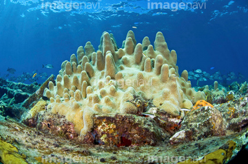
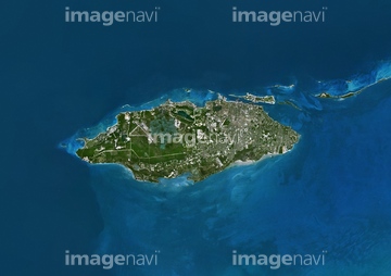
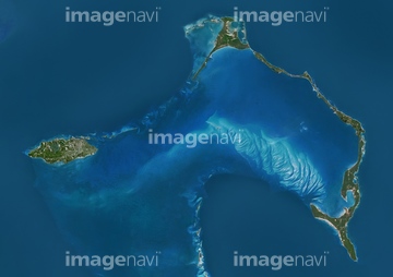
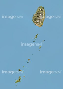
この検索結果には、宇宙から見た地球(NASA提供)、Harbert Island Bahamas North America、Waves washing onto shore, Cable Beach, Nassau, Bah…、バハマ諸島、ピンクサンドビーチの波、Aerial of andros islandなどが含まれています。
52211053
51450800
32210644
32210645
32210646
32210647
32210648
32210649
32210650
32210651
32210652


64204606
64022917
51450799


64204605
51451139

29205034
00008402
32210636
32210639
32210640
32210666
32210667
32210668
32210669
32210670
63031103
70428580
99021018
30046936
32210630
32210631
32210632
32210633
32210634
32210635


64032680
64032681

64032682
32210617
32210618
32210619
32210620
32210621
32210622
32210623
32210624
32210625
32210637
32210638
32210641
32210642
32210643
64190194
70412161
70428582
51451137
18524779
32210665
64107115
64125001
64040491

64151692
64151695
70412162
64098657
64098671
51450931
20960164
70412516
21574155

21574156


32210401
32210402
32210403
32210653
32210654
32210655
32210656
32210657
32210659
32210660
32210661
32210662
32210663
32210664
41151715
64204602
64204604
64040666


64016245
70113442


32210404
32210387

32210388

32210389
32210390
32210391
32210392

32210393
32210394
32210395
32210396
32210397
32210399
32210400
32210658
51451395
51450771
51450955
51451516
| 次ページ |
