HOME > 写真 > 国・地域 > オセアニア > ハワイ
10,000件の写真素材が検索されました。
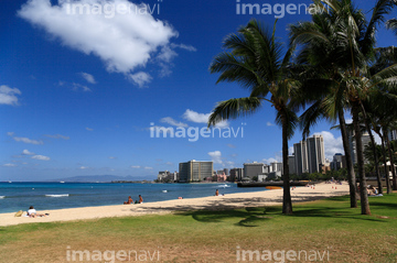
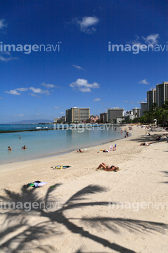
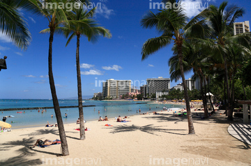
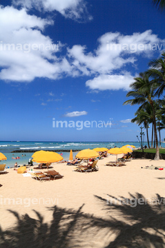
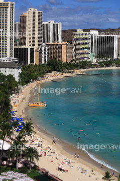
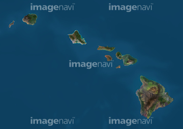
この検索結果には、ハワイの地図、ハワイ:オアフ島、ヤシの木と夕暮れ、シーライフパーク、ポリネシア文化センター、ヒルトンハワイアンビレッジなどが含まれています。
41226037
52228586
63030034
70000006
30303844
52228583
30334173

16932574
12401262
12401263
12401264
12401265
12401275
30334169
31606558
41064037
41064038

41064095
41247654
41247655
41247656
41247659
41247660
41247661
41247667
41247668
41247669
41247690
41247692
41247693
41247694
41247706
41247707
41247708
41247713
41247714
41247734
41247735
41247742
41247743
41247759
41247760
40425298
19200020
19200368
19200369
19200372
17100801

17100802
17100803
17100804
17100805
17100806
17100807
17100812
17100814
17100815
17100816
17100817

17100820
17100822
17100827
17100828
17100830
17100831
17100832
17100833
17100836
17100837
17100840
17100842
17100843
17100844
17100845
17100846
17100847
17100848
17100849

17100852
17100853
17100855
17100858
17100859
17100861
17100862
17100863
17100874
17100906
17100907
17100908
17100909
17100910
17100911
17100912
17100915
17100916
17100917
17100921
17100922
17100923

17100924
17100940
17100941
17100944
17100948
17100949
17100950
16001316
00017574
70208752
70208755
70208756
70208757
70208759
70063768
70123901
51451516

51451137
52211053
19200377
17100811
16001311
00017422
00017463
00017530
00017541
00017542
00017545
00017546
00017547
00017570
00017573
00017577
00017579
70062937
51451015
51451335

29204746

51424032
64065660
30036097
19200022
19200358
19200359
19200361
19200366
17100818
17100819
17100821
17100823
17100829
17100838
17100851
17100857
17100867
17100870
17100952

00038528
00017423
00017593
10015676
30073984
70206465
| 次ページ |
