HOME > ژتگ^ > ڈو‚蕨پEŒً’ت > Œً’تƒCƒپپ[ƒW > ’nگ}
10,000Œڈ‚جژتگ^‘fچق‚ھŒںچُ‚³‚ê‚ـ‚µ‚½پB
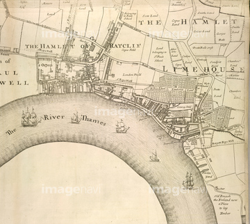
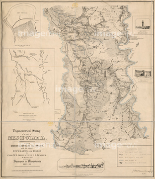
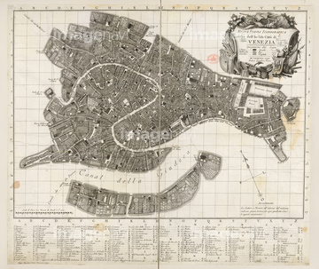
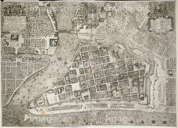
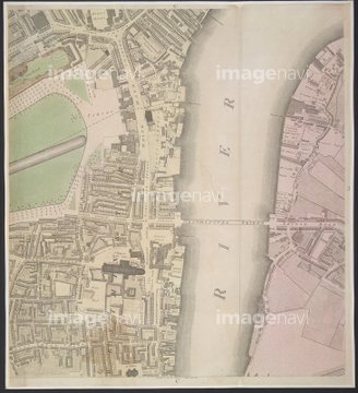
‚±‚جŒںچُŒ‹‰ت‚ة‚حپAMesopotamiaپAVeniceپAManilaپARiver ThamesپAA Prospect of LondonپAMap of East Coast of Canada, 1745‚ب‚ا‚ھٹـ‚ـ‚ê‚ؤ‚¢‚ـ‚·پB
52304687

64083415
53134545
51462494

64082688
64082945
64083017
64083095
64083444
64083445
64082673
64082896
64083496
64082652
64082657
64082681
64082699
64082774
64082794
64082803
64082902
64082934
64082950
64082953
64082958
64082981
64083015
64083020
64083035
64083168
64083171
64083294
64083304
64083305
64083308
64083380
64083389

64083420

64083449
64083464

64083504
52300413
64082648
64082669

52309423
30014856
30014858
51461477
51439358
51439359
51439360
51903555
64082678
64082687
64082694
64082697
64082707
64082710
64082725
64082814
64082870
64082874
64082892
64082895
64082899
64082926
64082933
64082952
64082954
64082957
64082960
64082999
64083009
64083010
64083019
64083024
64083033
64083039
64083058
64083092
64083093
64083094
64083117
64083124
64083126
64083127
64083159
64083160
64083169
64083179
64083283
64083285
64083287
64083288
64083302

51421591
51422878

51421621
17200242
52309412
52309416
52210909
53107312

64052698
64239607
51902187
51908322
53106733


51436278
64014735
64082663
64082691
64082793
64082804

64082868
64082924
64083112
64083150
64083151
64083180
64083293
64083315
64083352
64083473
64083474
64083475
64083476
64083477
| ژںƒyپ[ƒW |
