HOME > ژتگ^ > ڈو‚蕨پEŒً’ت > Œً’تƒCƒپپ[ƒW > ’nگ}
10,000Œڈ‚جژتگ^‘fچق‚ھŒںچُ‚³‚ê‚ـ‚µ‚½پB
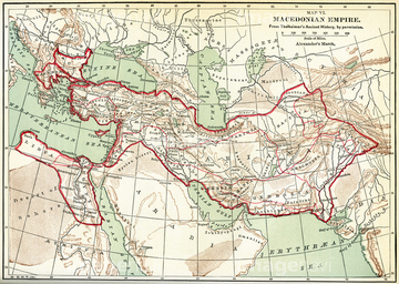
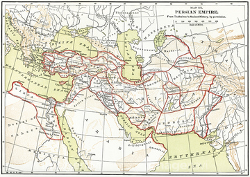
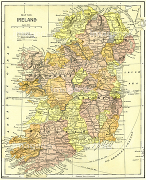
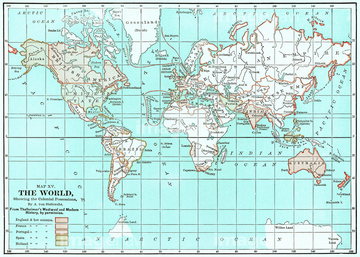
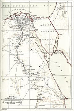
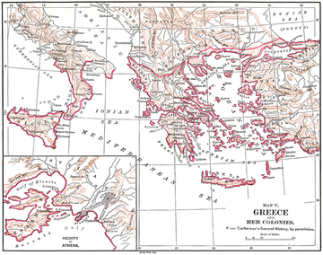
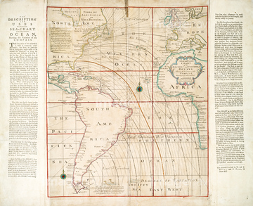
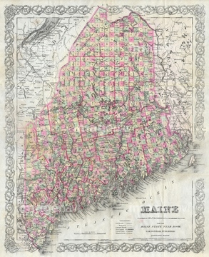
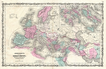
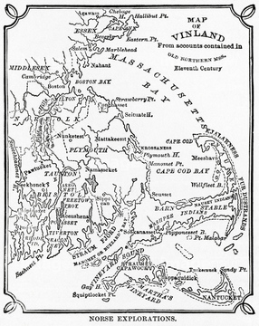
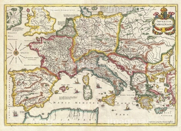
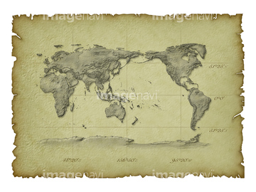
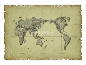
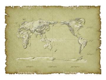
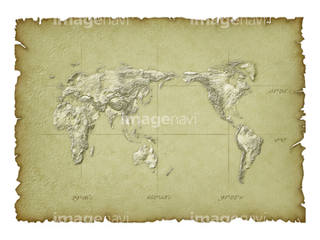
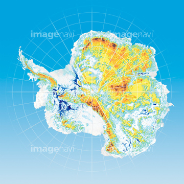
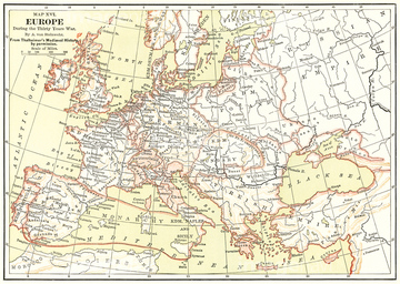
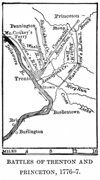
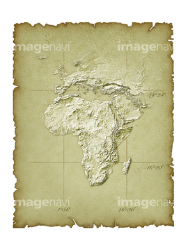
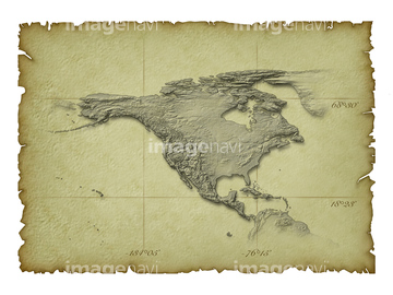
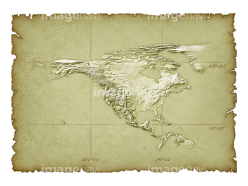
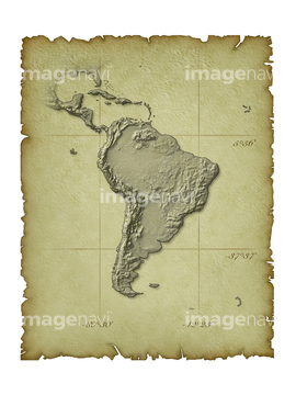
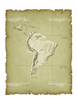
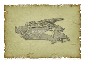
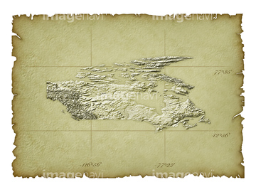
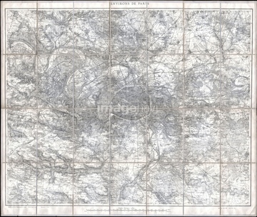
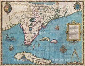
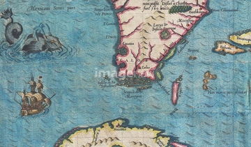
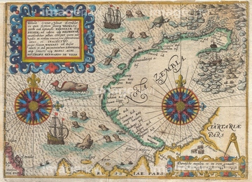
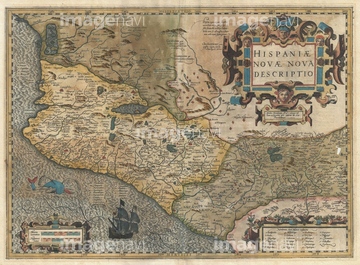
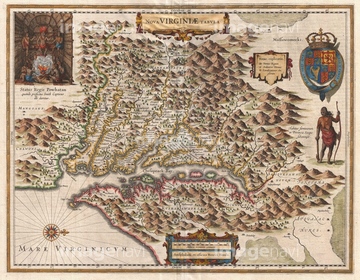
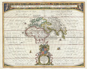
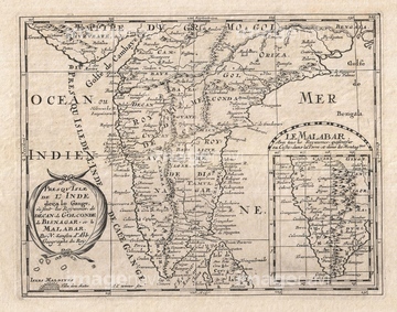
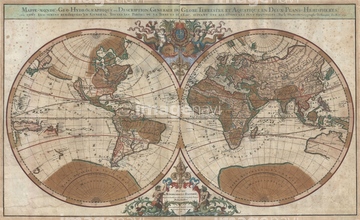
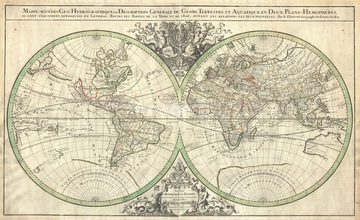
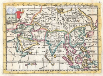
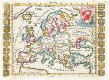
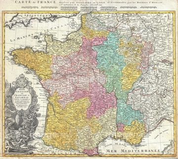
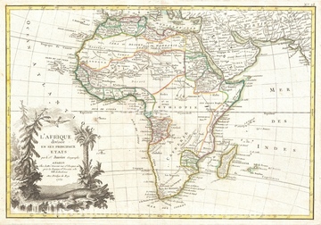
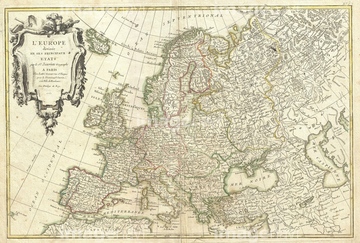
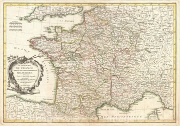
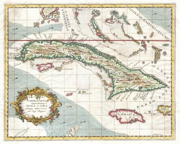
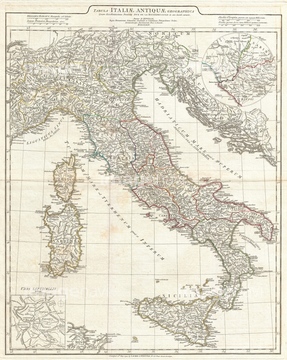
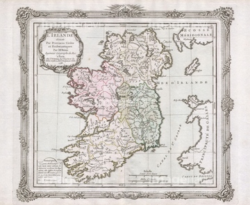
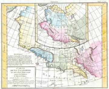
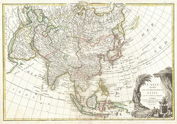
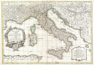
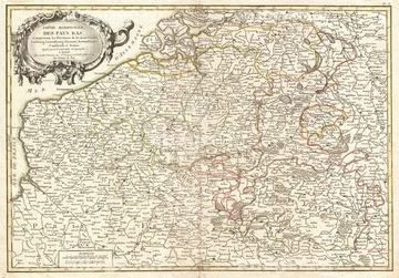
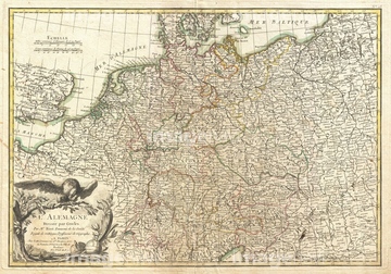
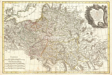
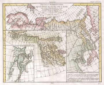
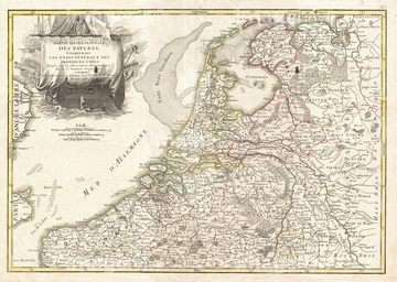
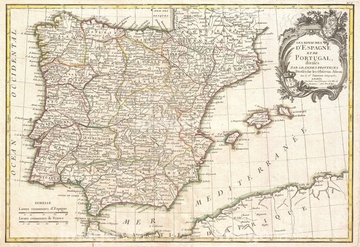
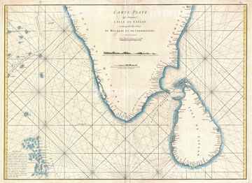
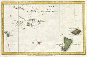
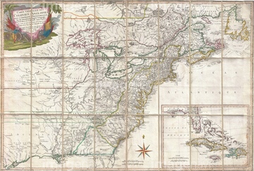
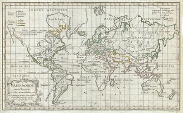
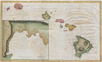
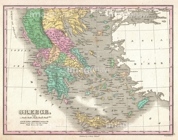
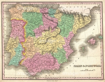
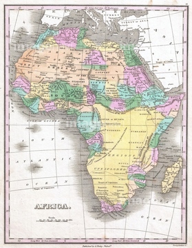
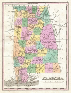
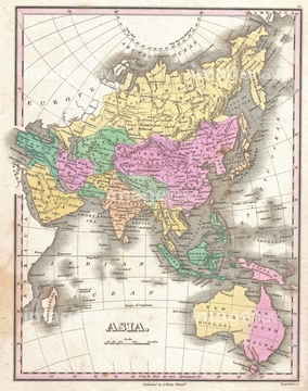
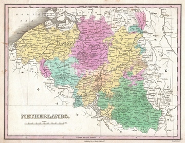
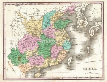
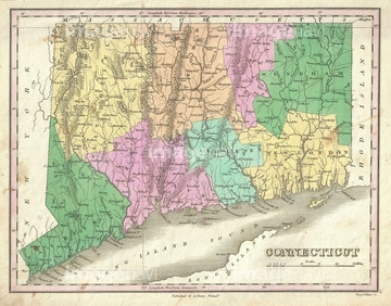
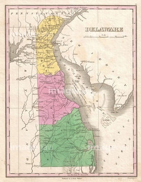
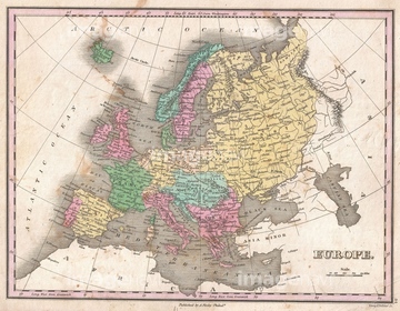
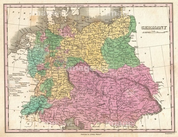
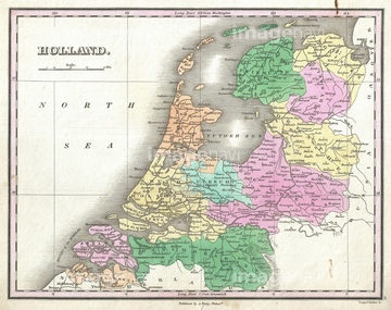
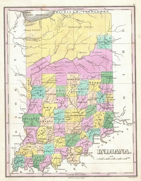
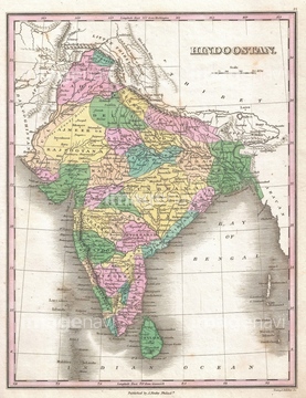
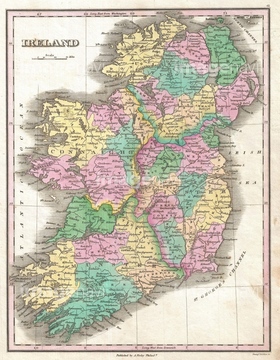
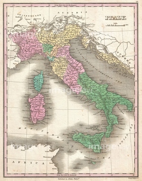
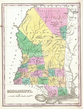
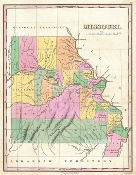
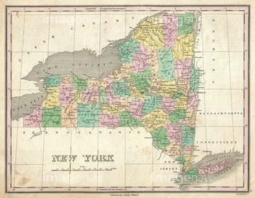
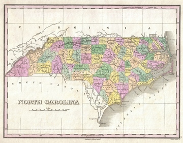
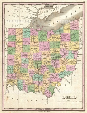
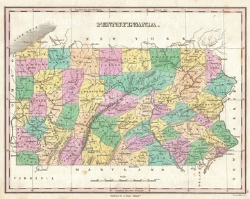
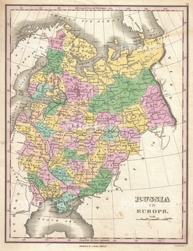
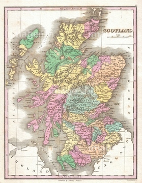
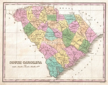
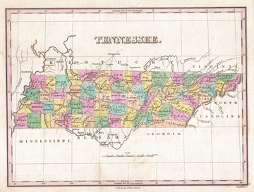
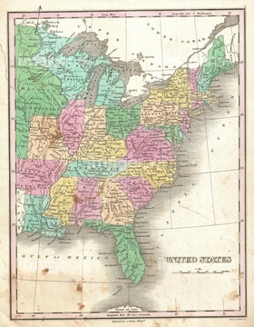
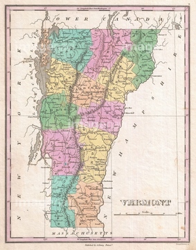
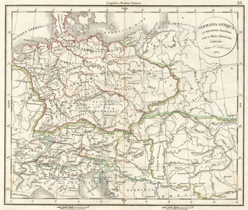
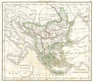
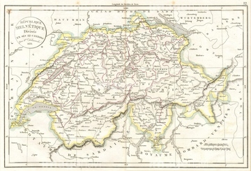
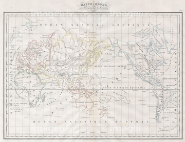
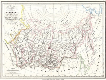
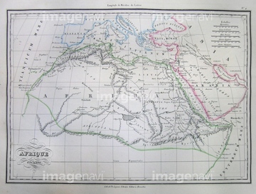
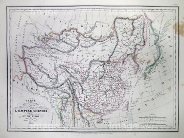
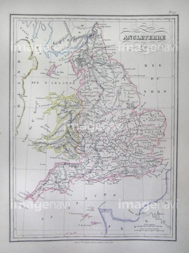
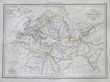
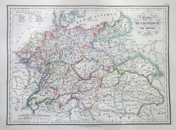
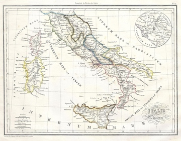
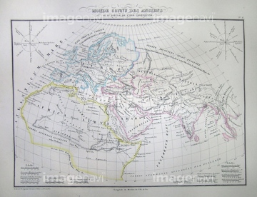
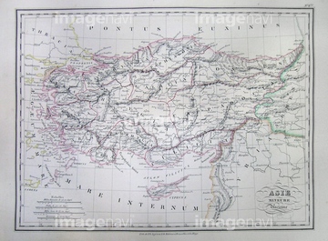
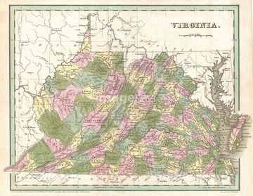
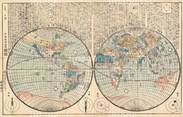
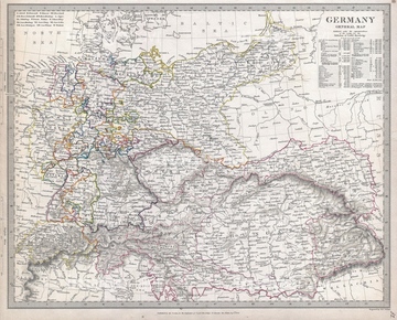
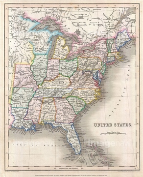
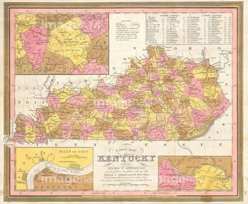
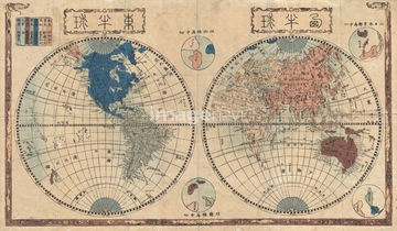
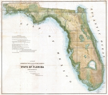
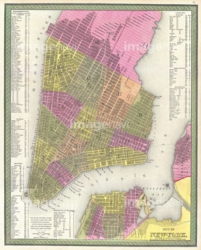
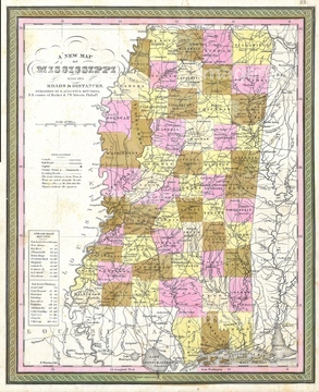
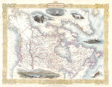
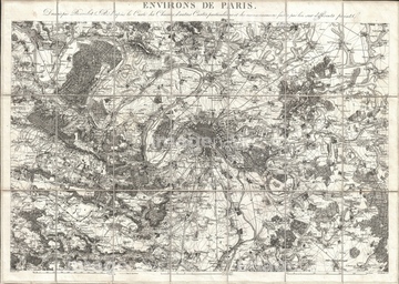
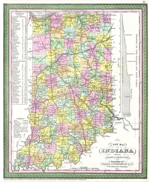
‚±‚جŒںچُŒ‹‰ت‚ة‚حپAگ¢ٹE’nگ}Œأ’nگ}•—پAƒAƒtƒٹƒJ‘ه—¤پA–kƒAƒپƒٹƒJ‘ه—¤پA“ىƒAƒپƒٹƒJ‘ه—¤,’†“ى•ؤپAƒJƒiƒ_’nگ}پA1591, De Bry and Le Moyne Map of Florida and Cuba‚ب‚ا‚ھٹـ‚ـ‚ê‚ؤ‚¢‚ـ‚·پB

52310814
52310906
52310815
16922575

29134109

29134110

29134111

29071019
53151842
14301074
14301075
14301076
14301077
64093447
64127059
64147624
14301087
14301088
14301098
14301099
14301153
14301154
14301169
14301170
53151091
53151095
53151096
53151097
53151104
53151105
53151106
53151109
53151110
53151115
53151127
53151129
53151131
53151135
53151137
53151140
53151141
53151142
53151144
53151145
53151146
53151147

53151154
53151158
53151166
53151167
53151168
53151178
53151179
53151253
53151265
53151275
53151321
53151361
53151362
53151366
53151368
53151369
53151372
53151373
53151374
53151375

53151376
53151377
53151379
53151380
53151381
53151383
53151384
53151385

53151386
53151387
53151388
53151389
53151390

53151392
53151393
53151395
53151397
53151399
53151401
53151403
53151404
53151406
53151407
53151417
53151435
53151437
53151442
53151445
53151459
53151461
53151462
| ژںƒyپ[ƒW |
