HOME > ژتگ^ > ڈو‚蕨پEŒً’ت > Œً’تƒCƒپپ[ƒW > ’nگ}
10,000Œڈ‚جژتگ^‘fچق‚ھŒںچُ‚³‚ê‚ـ‚µ‚½پB
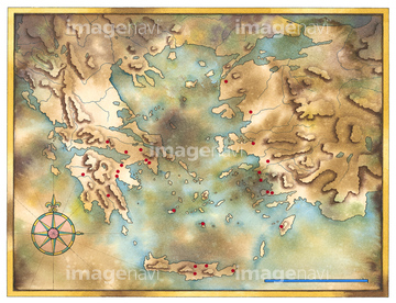
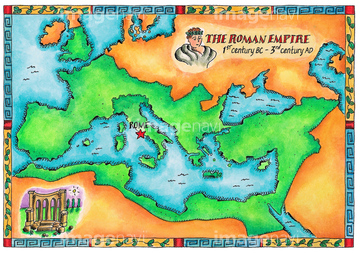
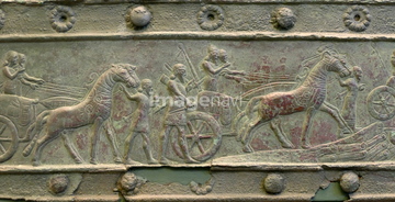
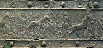
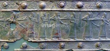
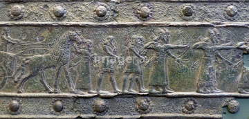
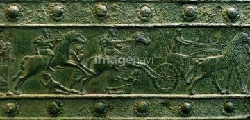
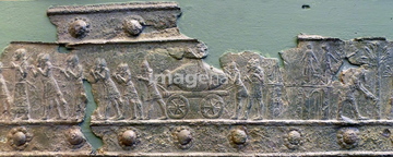
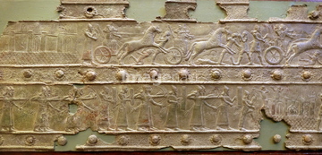
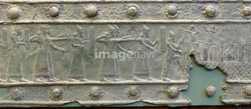
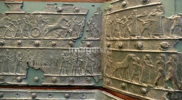
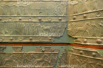
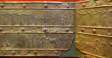
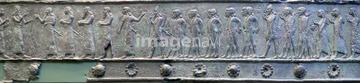
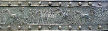
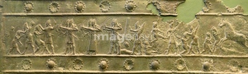
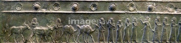
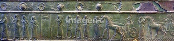
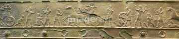
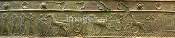
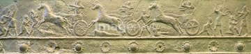
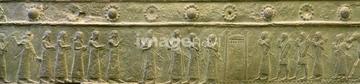
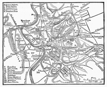
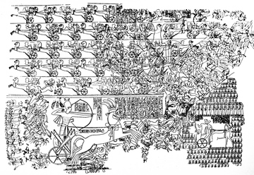
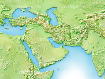
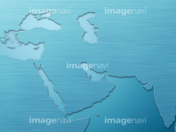
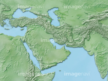
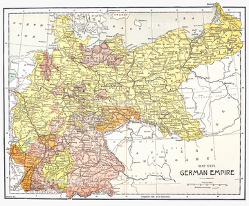
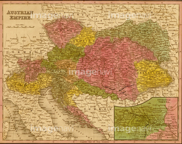
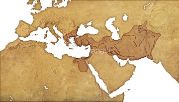
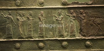
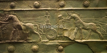
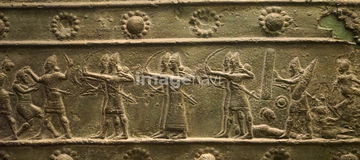
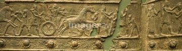
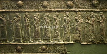
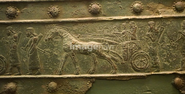
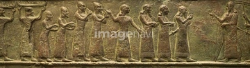
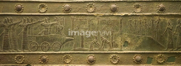
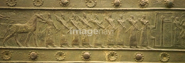
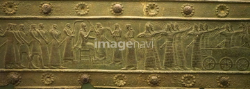
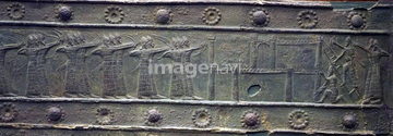
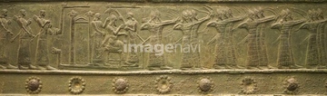
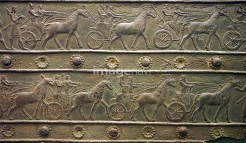
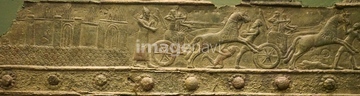
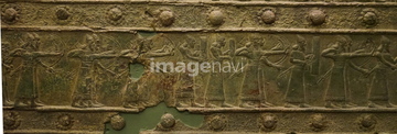
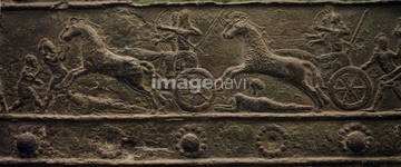
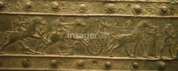
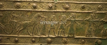
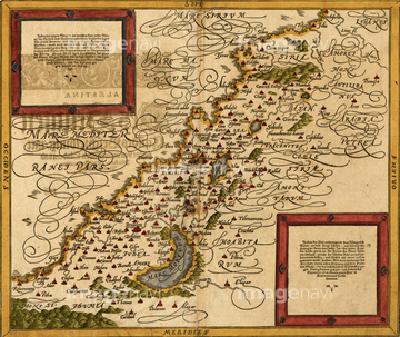
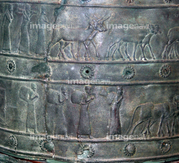
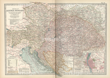
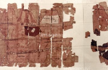
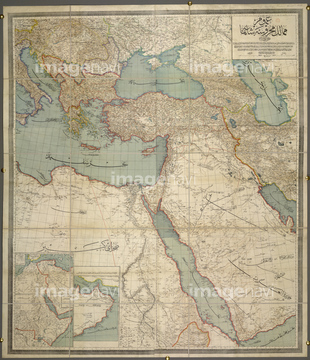
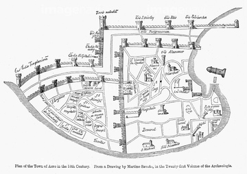
‚±‚جŒںچُŒ‹‰ت‚ة‚حپARelief cast in a Bronze band from the, Assyrian, BپcپAROMAN EMPIRE: MAP OF ROME.پAThe Battle of Kadesh (also Kadesh) between the EgyپcپA’†‹ك“Œژü•س’nگ}پAMAP: GERMAN EMPIRE.پAAustrian Empire - 1844‚ب‚ا‚ھٹـ‚ـ‚ê‚ؤ‚¢‚ـ‚·پB


51422842
53106868
53106879
53106880
51943914
51945530
51900817

51906178
51900819
51484649
51436383
53140481

51436129
64116929
51947113

30038124
52100872
14301306
14301307
14301308
14301309
14301310
14301311
14301312
51906138
51435901
51436228

51436130
19604450
19601625
51946364
51946688
51424970
51930910


53108575
51436141
51436136
52101560
53135932
51912533
52101613
51436135

51489250

51417161
51902143

51422778
30038110
64217857
30038105
41139689
53133050
41139655
53101118
51436365
51436140
51912365

51422774
64083119
51913568
51916520
51436128
51436132

51436137
51436139
51436142

51436143
51901344
19068169
51904360
52101382
52101494
52101495
51941925
51941962
51941963
51942217
51942382
51942703
| ژںƒyپ[ƒW |
