HOME > ژتگ^ > ڈو‚蕨پEŒً’ت > Œً’تƒCƒپپ[ƒW > ’nگ}
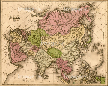
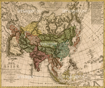
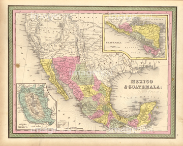
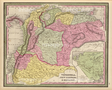
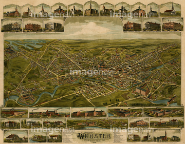
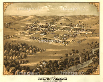
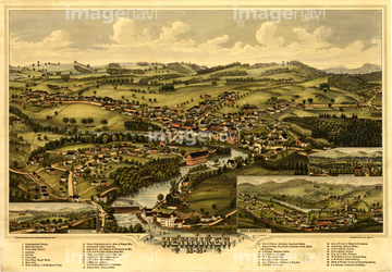
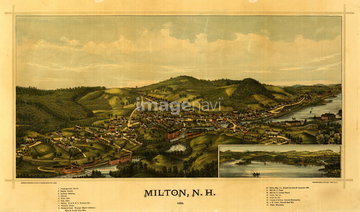
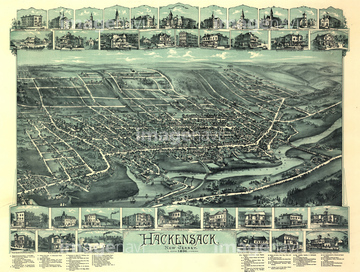
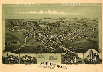
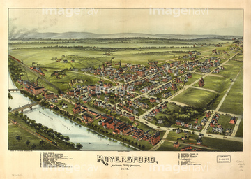
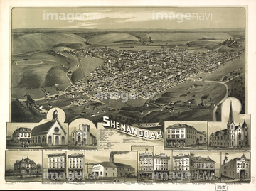
10,000Œڈ‚جژتگ^‘fچق‚ھŒںچُ‚³‚ê‚ـ‚µ‚½پB
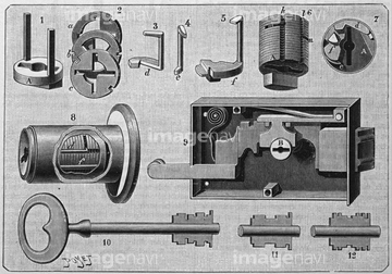
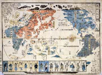
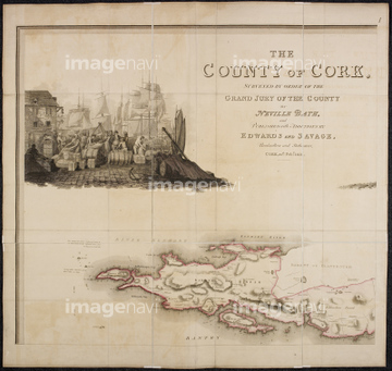
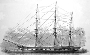
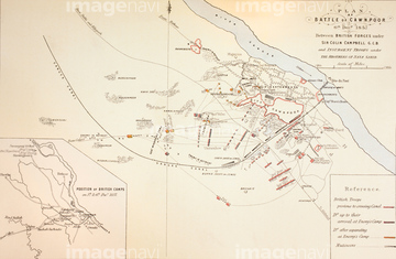
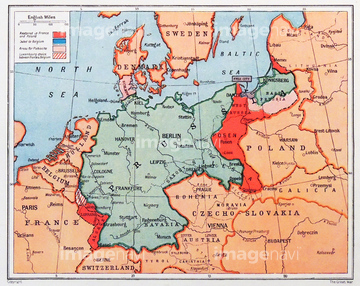
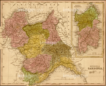
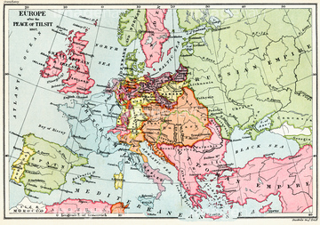
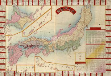
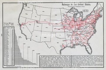
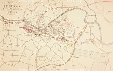
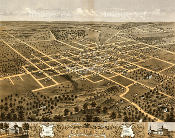
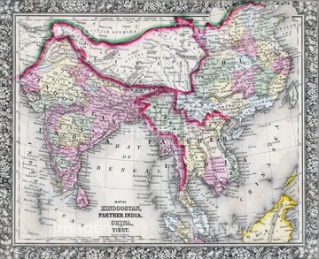
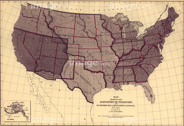
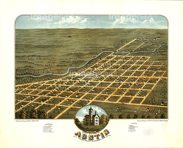
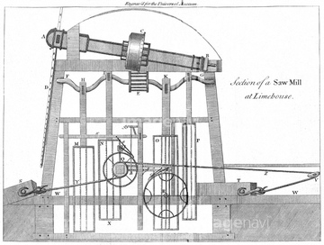
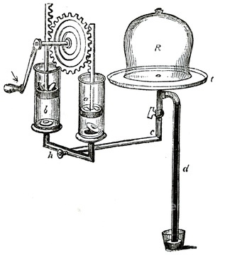
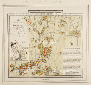
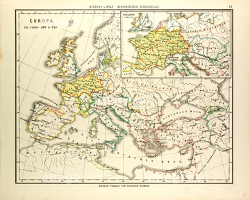
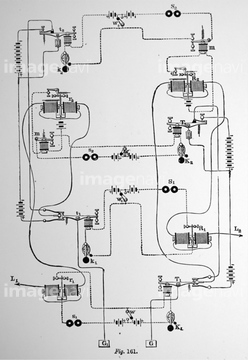
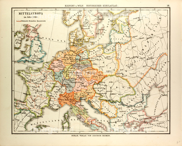
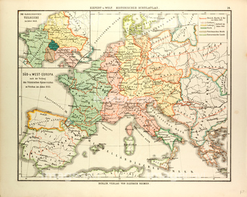
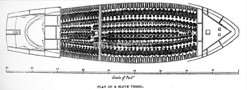
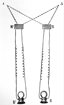
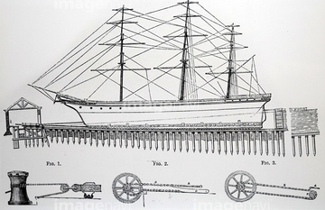
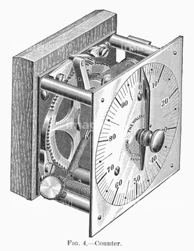
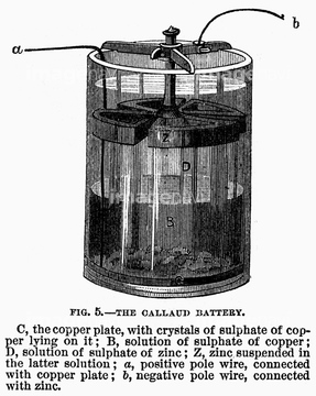
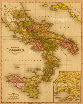
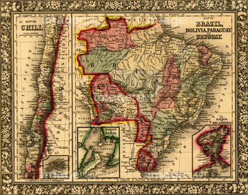
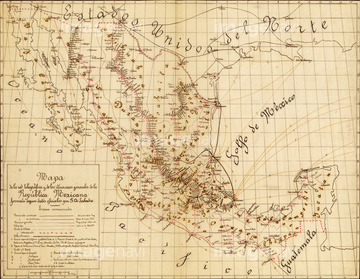
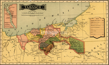
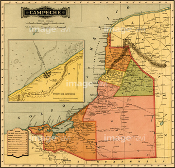
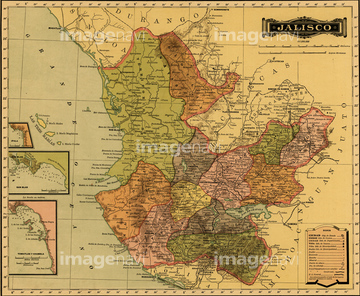
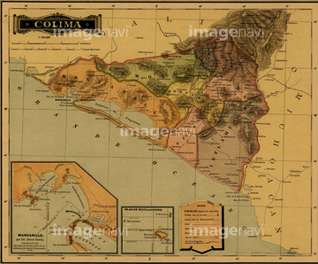
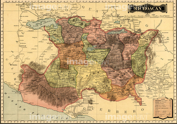
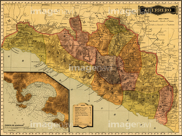
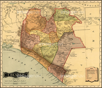
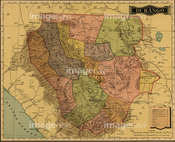
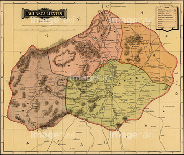
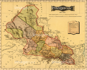
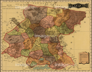
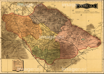
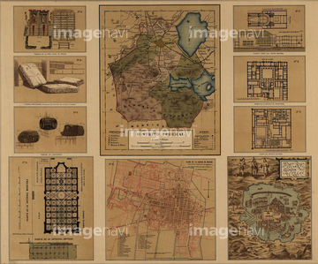
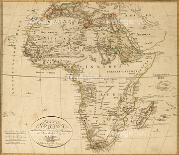
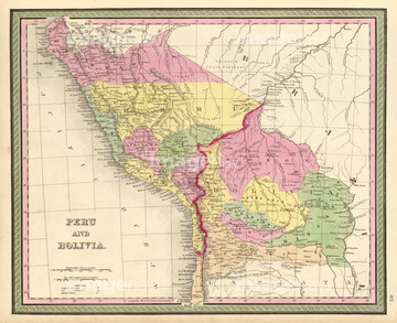
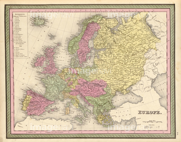
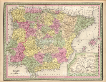
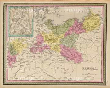
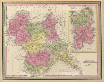
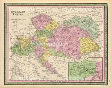
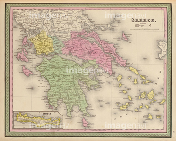
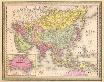
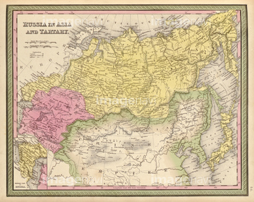
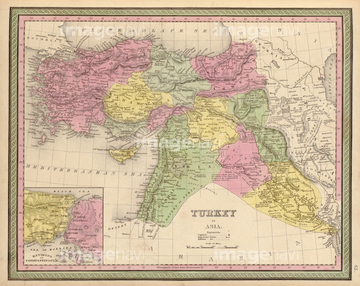
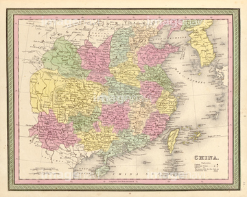
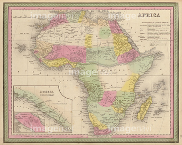
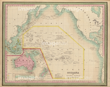
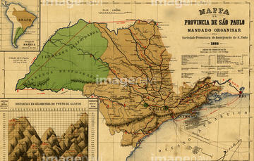
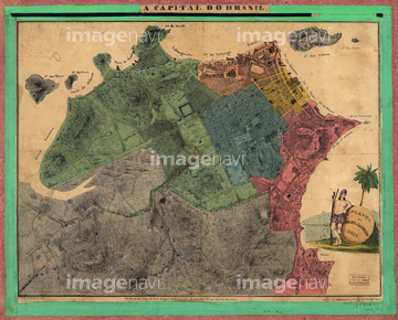
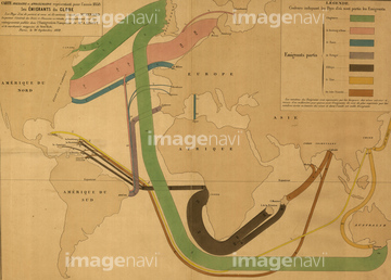
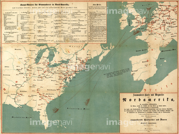
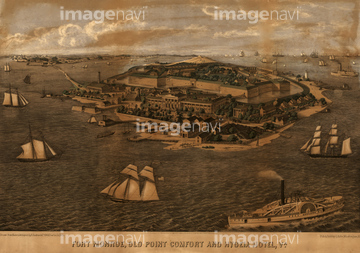
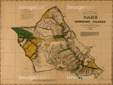
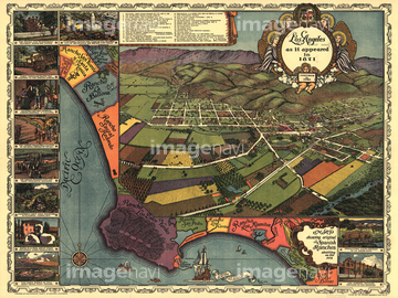
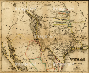
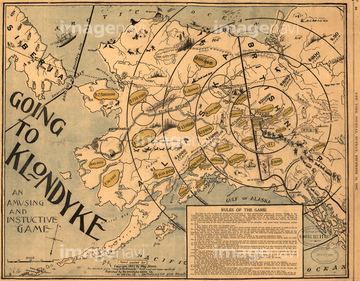
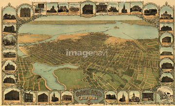
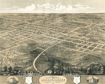
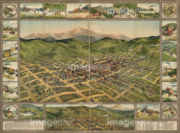
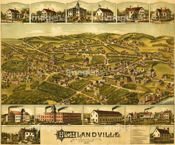
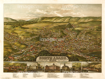
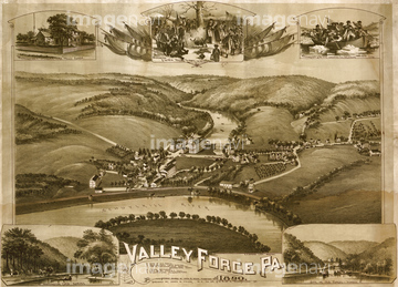
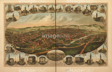
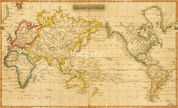
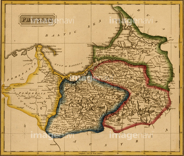
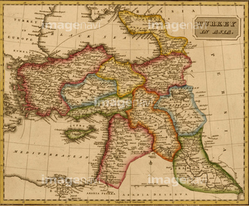
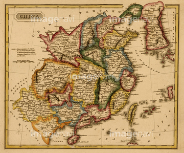
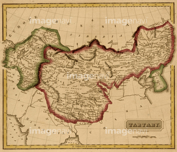
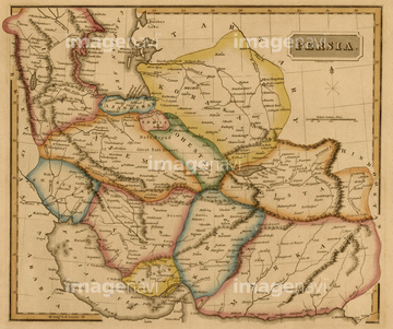
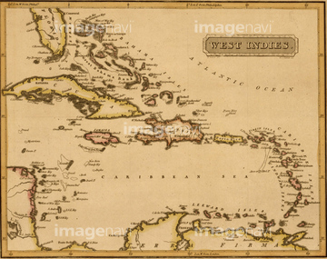
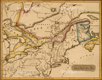
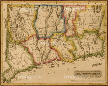
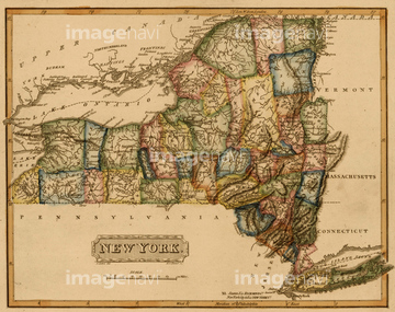
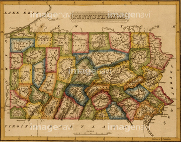
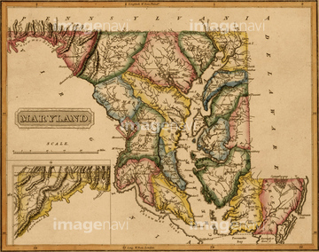
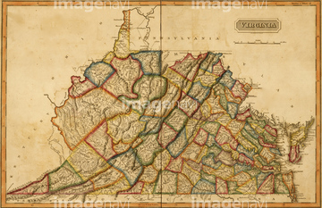
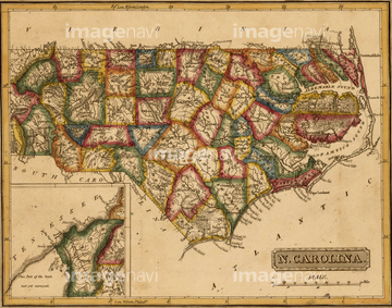
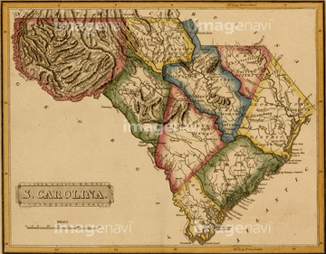
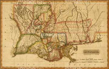
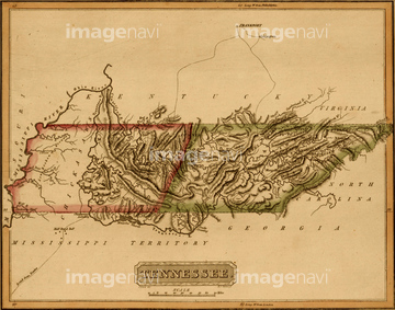
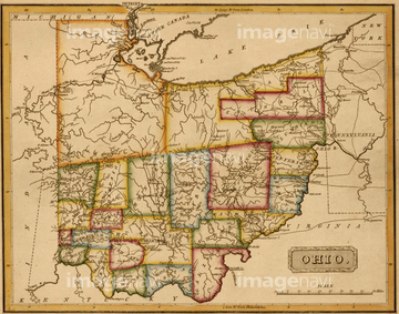
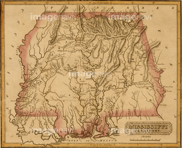
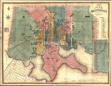
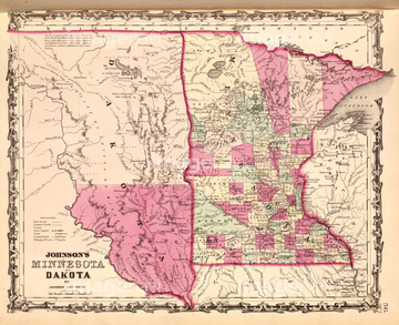
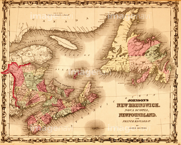
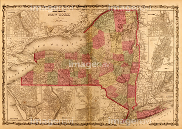
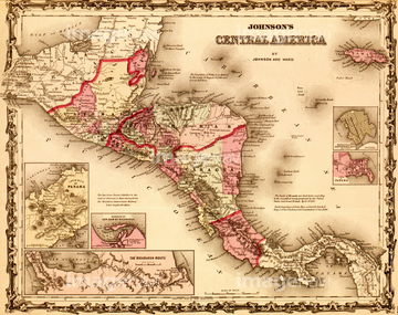
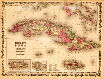
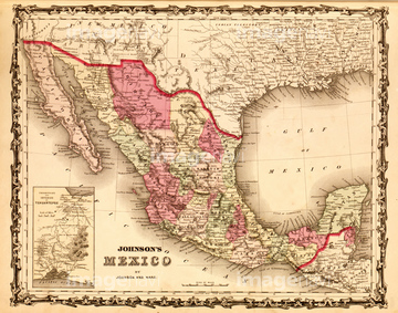
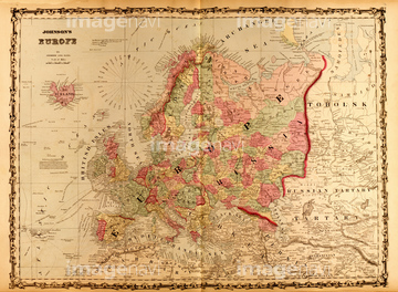
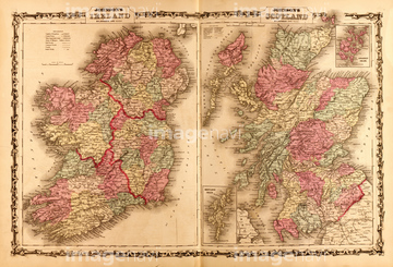
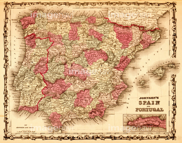
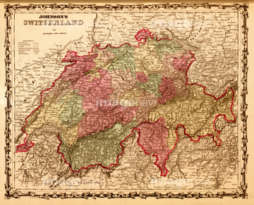
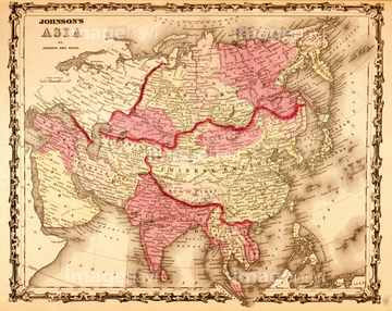
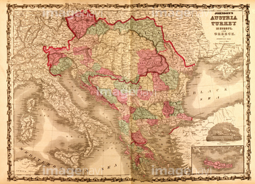
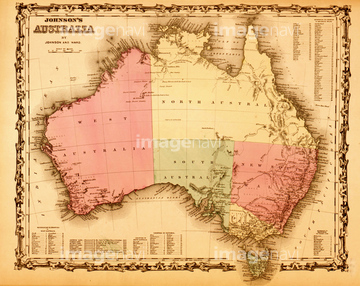
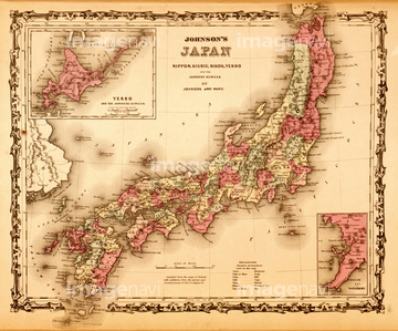
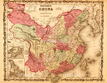
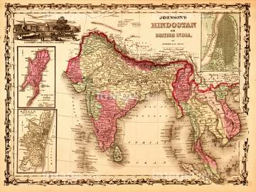
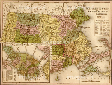
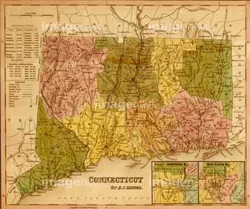
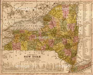
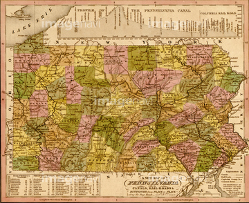
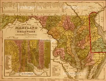
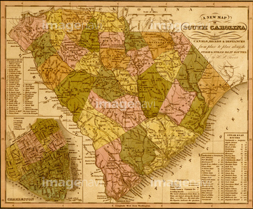
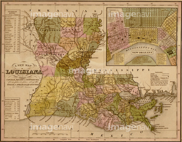
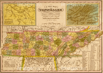
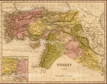
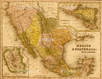
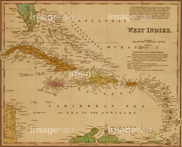
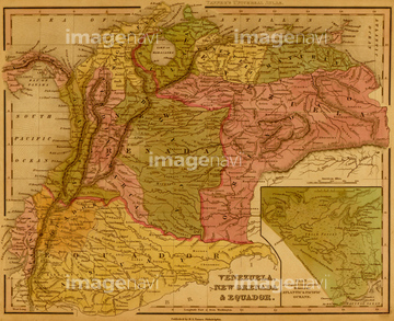
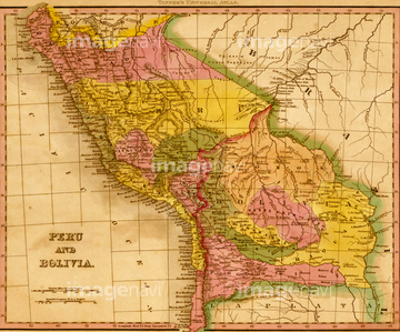
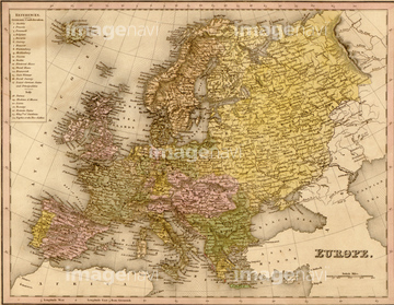
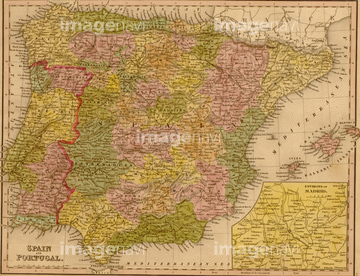
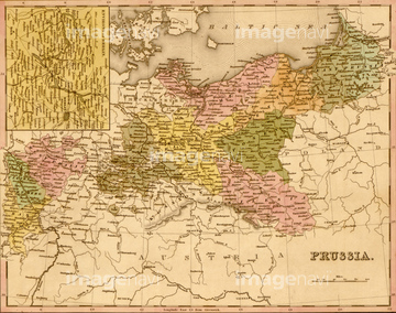
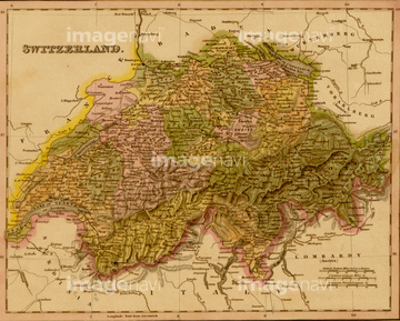
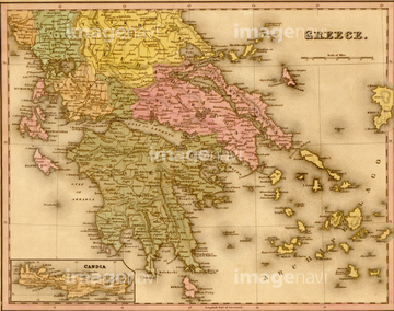
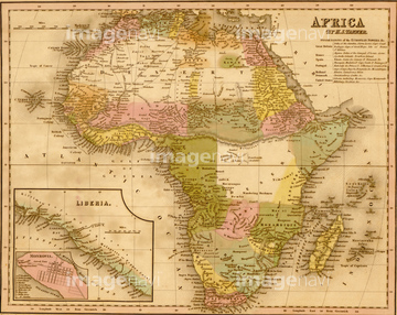
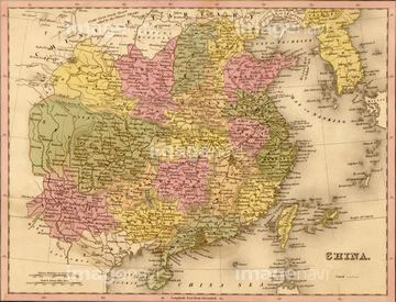
‚±‚جŒںچُŒ‹‰ت‚ة‚حپADiagram of a 19th Century Spiral turbines with horپcپACENSUS TABULATOR, 1890.پACALLAUD BATTERY, c1860.پACity of Philadelphia - 1849پAKingdom of Naples - 1844پACity of New York - 1849‚ب‚ا‚ھٹـ‚ـ‚ê‚ؤ‚¢‚ـ‚·پB
53119698

51983432
51494860
64083481
51458511

51484968

51436223
51435899


51436216

51458513


51940628
64083442
51472426
51472425

51984284
51984855

51436420
51435902

51436419


51489931
51436086
51436087
51436090
51436091
51436092
51436093
51436095
51436096
51436098
51436099
51436100

51436102
51436106
51436108
51436164
51436208
51436217
51436288
51436304
51436305
51436311
51436326
51436331
51436333
51436338
51436343
51436344
51436345
51436350
51436351
51436352
51436353
51436356
51436357
51436359
51436371
51436385
51436386
51436394
51436418
51436584
51436633
51436663
51436699
51435542
51435555
51435576
51435583
51435614
51435625
51435638
51435640
51435668
51435672
51435674
51435675
51435680
51435681
51435682
51435685

51435692
51435693
51435695
51435706

51435750
51435751
51435760
51435770
51435772
51435773
51435774
51435779
51435780

51435781
51435787
51435788
51435790
51435792
51435793
51435794
51435795
51435796
51435799
51435800
51435801
51435803
51435807
51435810
51435815
51435818
51435820
51435821
51435822
51435823
51435824
51435826
51435829
51435831
51435835
51435839
51435840
51435841
51435842
51435843
51435844
51435846
51435848
51435849
51435853
51435854
51435855
51435858
51435861
51435862
51435863
51435864
51435869
51435871
51435876
51435881
51435882
51435886
51435888
51435893
51435898
51435900
51435905
51435906
51435910
| ژںƒyپ[ƒW |
