HOME > ژتگ^ > ƒrƒWƒlƒX > ƒrƒWƒlƒXƒCƒپپ[ƒW > ƒOƒچپ[ƒoƒ‹
10,000Œڈ‚جژتگ^‘fچق‚ھŒںچُ‚³‚ê‚ـ‚µ‚½پB
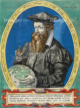
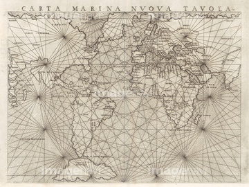
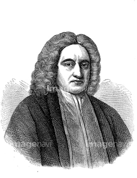
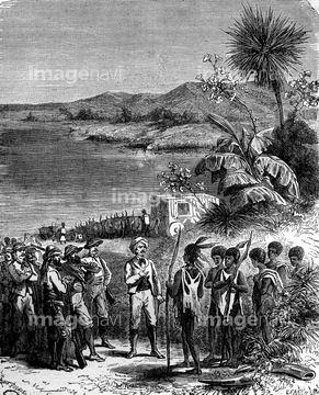
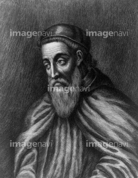
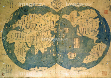
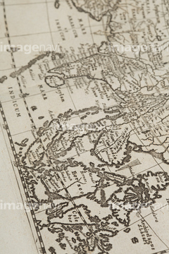
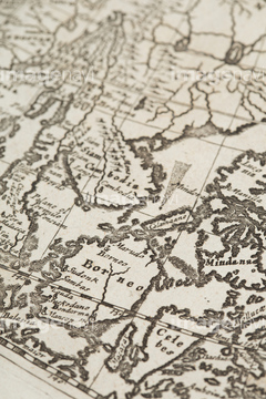
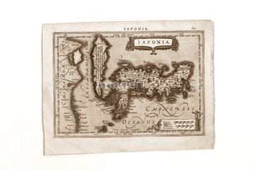
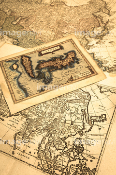
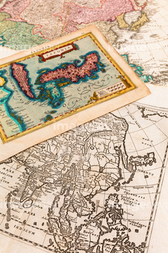
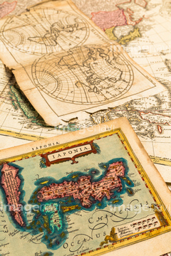
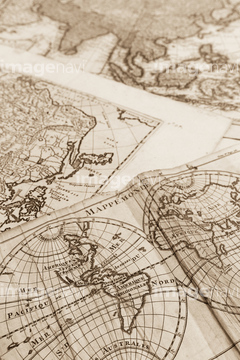
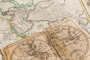
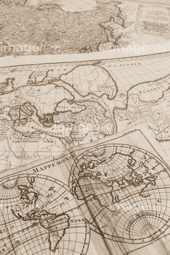
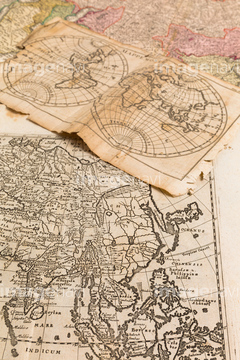
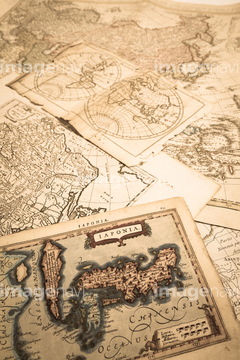
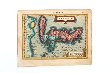
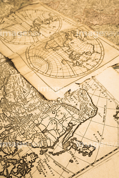
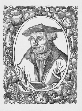
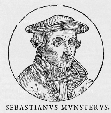
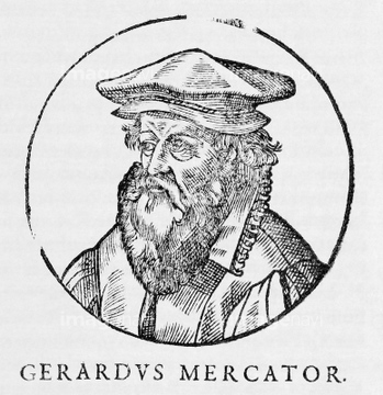
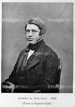
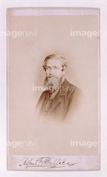
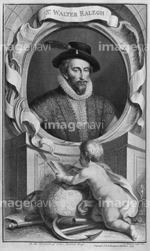
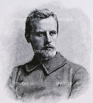
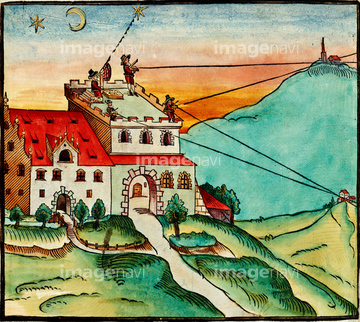
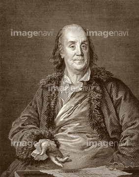
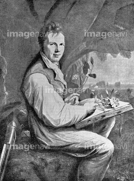
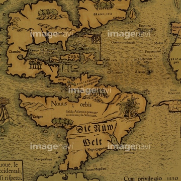
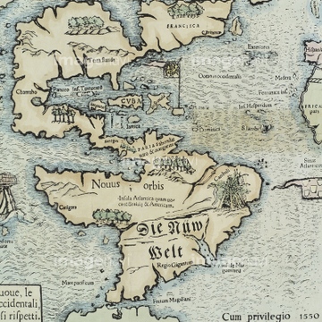
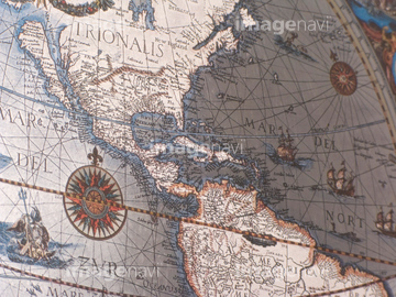
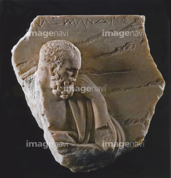
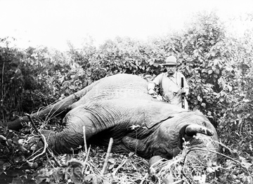
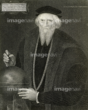
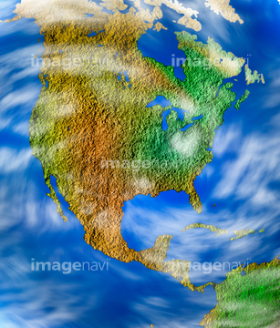
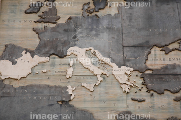
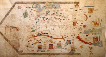
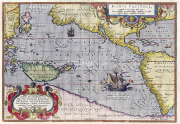
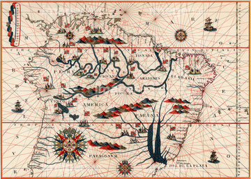
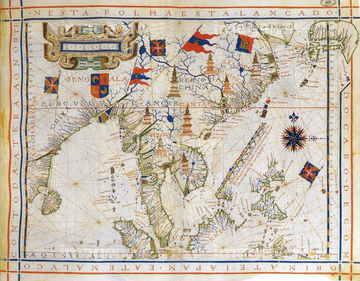
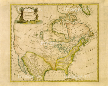
‚±‚جŒںچُŒ‹‰ت‚ة‚حپAگ}–ت‚ًڈ‘‚•ƒگe‚ئ‚»‚ê‚ًŒ©‚é’j‚جژqپAƒAƒ“ƒeƒBپ[ƒN‚جگ¢ٹE’nگ}پAŒأ’nگ}پ@“Œ“ىƒAƒWƒAپAŒأ‚¢گ¢ٹE’nگ}پASebastian Munster, German cartographerپASebastain Munster, German cartographer‚ب‚ا‚ھٹـ‚ـ‚ê‚ؤ‚¢‚ـ‚·پB
53121502
64098805
64072417

64217395
64045106


64140281
64109844
51497240
64041648
64072540

10611233

10610648
53121289
64042375
51935914
64047749
64041628
64173643
40583492
40583494
40557042
40557044
40560935
40560936
40560937
40560983
40560984
40560985
40560986
40560987
40561442
40561444
40561445
51426609

51424030

51424032

64149791
64083401
64040574
53121290
64042360
64041592
53121490
53121491
53121492
64057526
53121277
64100560
53115297
64096845
64068139
64068145
64071251
64059896
53121244
64068165

30345772

51426610
53119155

10949249
30345783

11538546

11538547

53118829


29204780

51486633
64108566
64057456
64057457
64062553

10307332

10307334
10903456
10903458
10903460
10903461
10903464

10918136
10918542
10918545
10918546
10918553
10918620

10307301

10307315
10307316
10307317

10307320

10307323
10307330

10307331

10307335

10307344

10307345

10307348

10307349

10307351

10307356

10307357

10307360

10307361

10307362
12406251

10122909
10036519
54001367
64261737
64071315

51495585
53115037
53121489

30347631
64223308
64059950
64084502

10610647
51991196
51980256
64062557
64067731

12401891
70124540

40544551
53121115

51425502
51426600
64083404
64055550
19283225
10918538
10918543
10918544
10918548
10918549
10918551
10918552
10918557

10918565
10918574
10918575
10918581
10918582
10918585
10918601
41154505
41154554
41154558

41154564
41226036
41226040
41226041
| ژںƒyپ[ƒW |
