HOME > ژتگ^ > ڈو‚蕨پEŒً’ت > Œً’تƒCƒپپ[ƒW > ’nگ}
10,000Œڈ‚جژتگ^‘fچق‚ھŒںچُ‚³‚ê‚ـ‚µ‚½پB
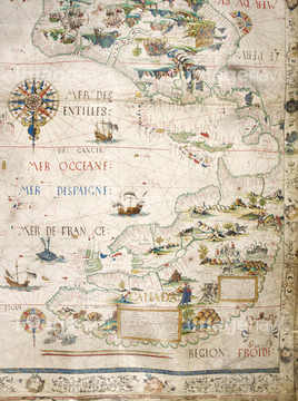
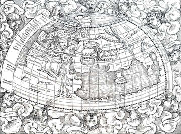
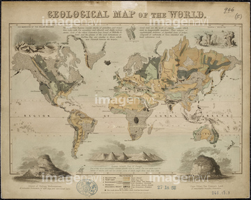
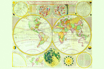
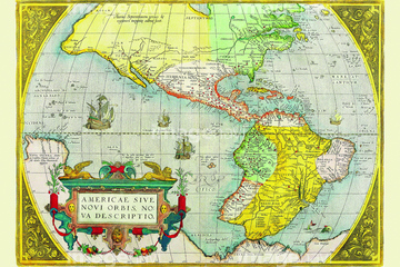
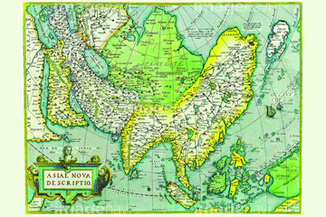
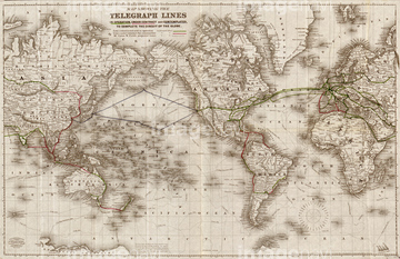
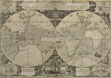
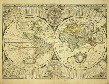
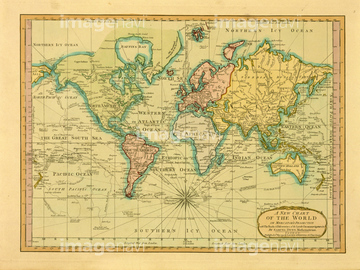
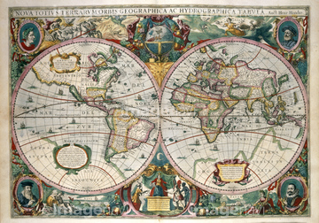
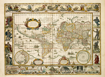
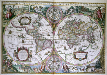
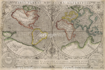
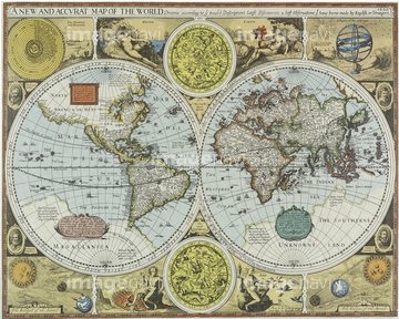
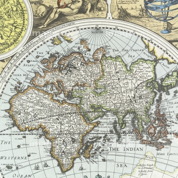
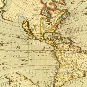
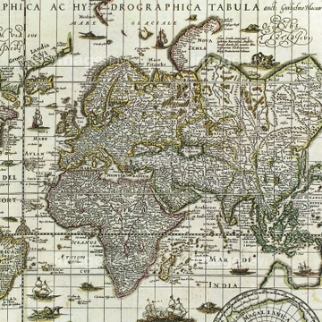
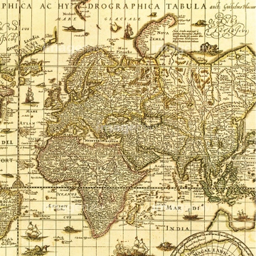
‚±‚جŒںچُŒ‹‰ت‚ة‚حپAHyetographic or Rain Map of the World 1848پAWorld Map - 1606پAWorld Telegraph Lines - 1871پADrake's world voyageپAگ¢ٹE’nگ}پAŒأ’nگ}‚ب‚ا‚ھٹـ‚ـ‚ê‚ؤ‚¢‚ـ‚·پB

51436390

64055073

64055079


64052698
53131811
53124886

64055074

64055075

51435748

51435744
51435749

64055082

64055076
51489953
51436416
51436241

64082620
64082668
64082660
64083411


64052691


51437218
64082618
64083426

51435746
64082666

64052702

51436381

51435745
53135767
51437232
51437259
51981075
64082671
51435807

51942988


51436380
51436864
64082619
19283091
19283231
19283234
64082676

51437220
64082613
64083413

10307301

10307315
10307316
10307317

10307320

10307323
10307330

10307331

10307332

10307334

10307335

10307344

10307345

10307348

10307349

10307351

10307356

10307357

10307360

10307362

51417134

40544551

64052693

10307361

70125589
64083414
41123685
41123686

10918136
10918567
51493144
30047308
30047317
51436392
51949824
64082631
64082632
64082639
64082665
64082667

51421923

51422654

64082617
64082630
64082638
64082672
64082700
51494860

51437221

51421922

51436268


51436271
64116814
51495010
64082692

64082662
70102712

51426610
53131295
53123895

51435750
51435751

51435752
51435760
51944478
51944810
64042379
51954338
30036743
30036745
30036748
30047319

51497240
51966209
51966210
51902155
51903316

51946157
53131812
53131813
64082614
51472415

64055080


10307302
10307303
10307305
10307307

10307308
10307309
10307310
10307312
10307313
10307314
10307318
10307319
10307321

10307322
10307324
10307325
10307326
10307327
10307328
10307329

10307333
10307336
10307337
10307338
10307339
10307340

10307341
10307342

10307343
10307346
10307347

10307350

10307352

10307353

10307354

10307355

10307358

10307359
10307390
10307391
| ژںƒyپ[ƒW |
