HOME > ژتگ^ > ڈو‚蕨پEŒً’ت > Œً’تƒCƒپپ[ƒW > ’nگ}
10,000Œڈ‚جژتگ^‘fچق‚ھŒںچُ‚³‚ê‚ـ‚µ‚½پB
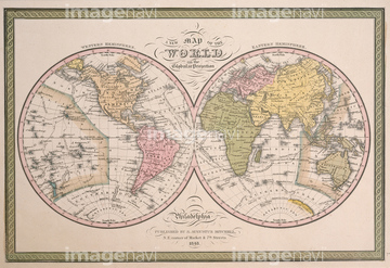
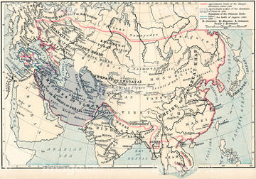
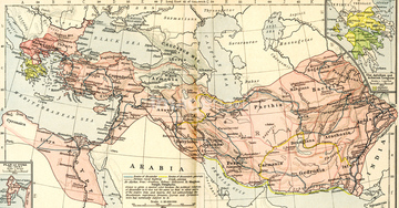
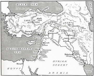
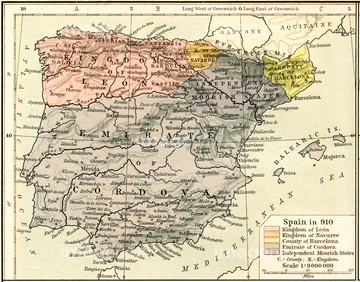
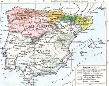
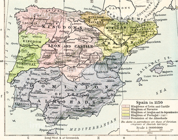
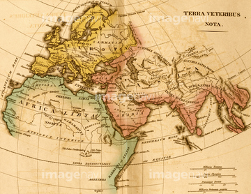
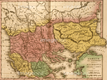
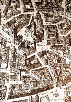
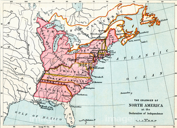
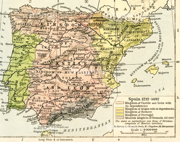
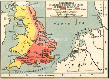
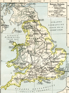
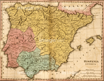
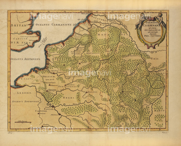
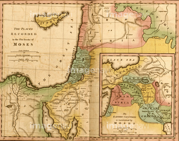
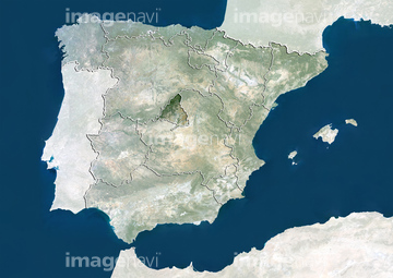
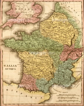
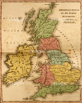
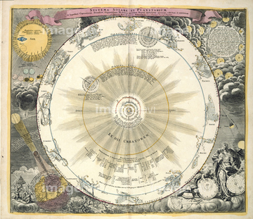
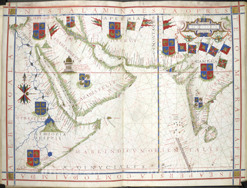
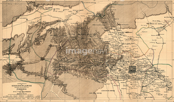
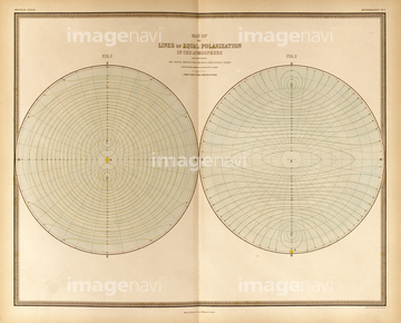
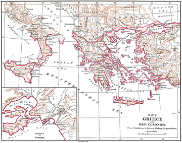
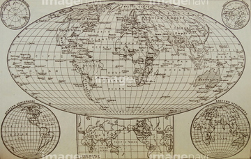
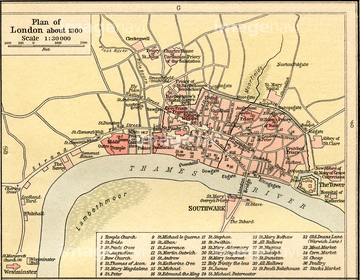
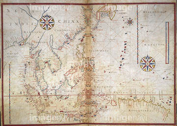
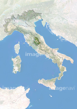
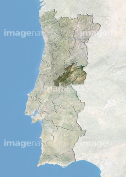
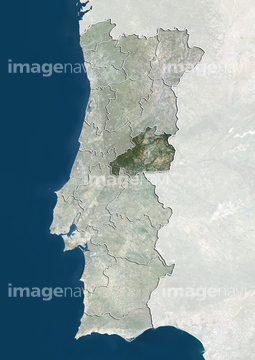
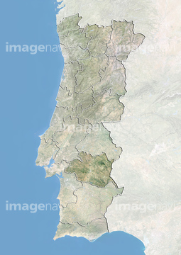
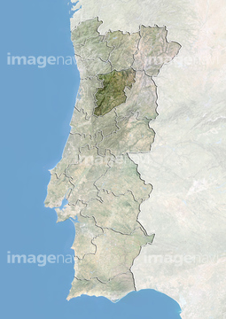
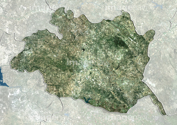
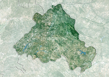
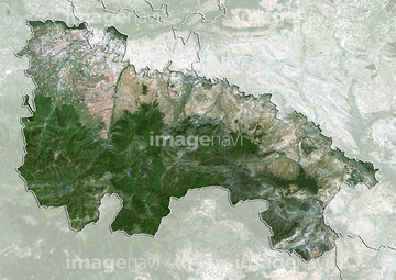
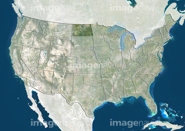
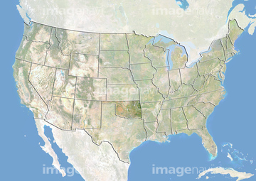
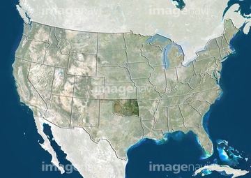
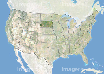
‚±‚جŒںچُŒ‹‰ت‚ة‚حپAHyetographic or Rain Map of the World 1848پAMediterranean and Black SeasپAMediterranean Sea and Black SeaپA17th century map of Ancient SpainپAMap of Roman Britain circa 410پAMap of France Gallia Antiqua‚ب‚ا‚ھٹـ‚ـ‚ê‚ؤ‚¢‚ـ‚·پB
53133032
53134545

51422943

51422944
52210909

51422942

64083449

51435952

53133038
51435946
51435953

53132940
53133097

53107312
51422940

51459589

51436264

64083420

51436273


64082945
64083095

51421591
53133041

51422840
53133200

51436278

51436280
51460235
64083415
53133050
51435949

51435950
51435955

51422887


64083504
53134494


51422843

51422841

51422842

51421879

51421880
64082681
64082688

51436064

51436265


51436294
51436281

51436268


51436271


51439337
51439338
51439339
51911481
51908332
64083035
30036704
51435948
51435954
53133051

51422156
64082691

51421916

51421907


51424030

64082902
64082981


51424033


| ژںƒyپ[ƒW |
