HOME > ژتگ^ > ڈو‚蕨پEŒً’ت > Œً’تƒCƒپپ[ƒW > ’nگ}
10,000Œڈ‚جژتگ^‘fچق‚ھŒںچُ‚³‚ê‚ـ‚µ‚½پB
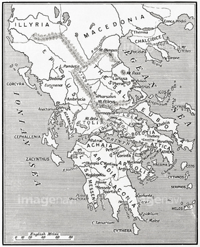
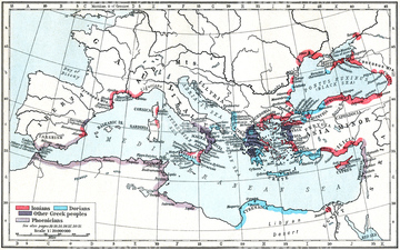
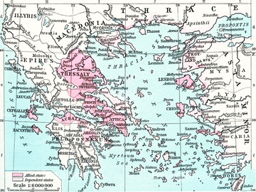
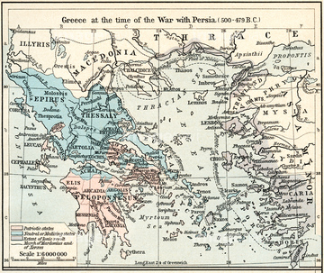
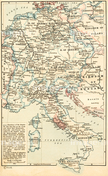
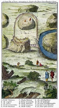
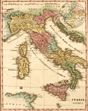
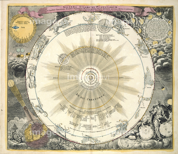
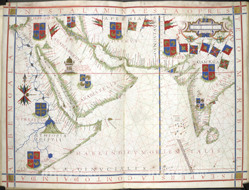
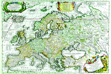
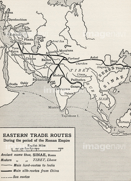
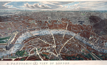
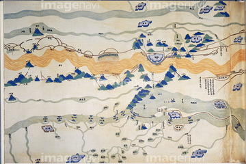
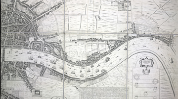
‚±‚جŒںچُŒ‹‰ت‚ة‚حپAITALY: PALMANOVA MAP, 1598.پAPlan of Chatham LinesپAGermaniae Cisrhenanae ut Circa Julii Caesaris SuitپcپAANCIENT ROME: SEVEN HILLS.پAAncient Italy 350 CEپAZodiac chart‚ب‚ا‚ھٹـ‚ـ‚ê‚ؤ‚¢‚ـ‚·پB
53133032
53134545

53133038
53133051
51435952

51422942

51422943

51422944
51435953

53133039

64083449

53132940
53133041
52210909
51435946
51435950
51435955
51460235

64082945
64083095
51435949

51421591
53133097
51913286
51912065
51912520
64083168
51913056
51435951
64082681
64082688
53134494
51435947

64083420

51459589


51436058

51436064

51436264

51436265


51436273

51436278


51436280
51436294


51422887


51435948
51435954


51422840

51422843
51422940
53133200
53133052


51911876
53107312
51904423
51913592
64082652
51912012
51912435
51912481
51912876
51912913
51912922
51912924
51913288
51913470
51439344

51422839

51422841

51422842
53133050
64082803

64083504

51436261


51436268


51436271


51436281


51417072
64082678
64082687
64082691
64082697
64082707
64082933
64083010
64083019
64083094
64083159
64083160

51437240

51421890

51421907

51422156
64082657
64082699
64082774
64082794
64082902
64082953
64082958
| ژںƒyپ[ƒW |
