HOME > ژتگ^ > ڈو‚蕨پEŒً’ت > Œً’تƒCƒپپ[ƒW > ’nگ}
10,000Œڈ‚جژتگ^‘fچق‚ھŒںچُ‚³‚ê‚ـ‚µ‚½پB
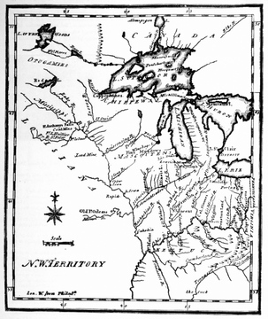
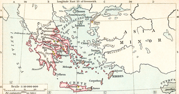
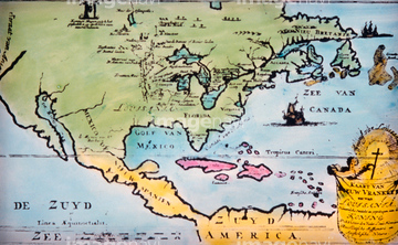
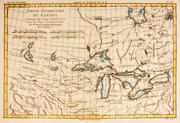
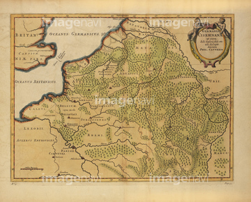
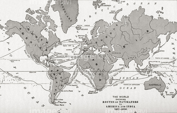
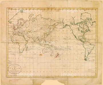
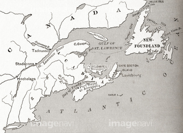
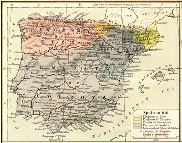
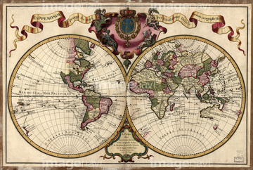
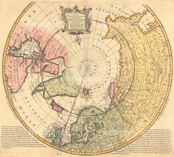
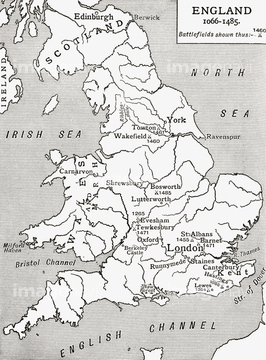
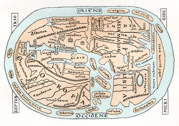
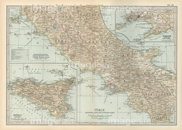
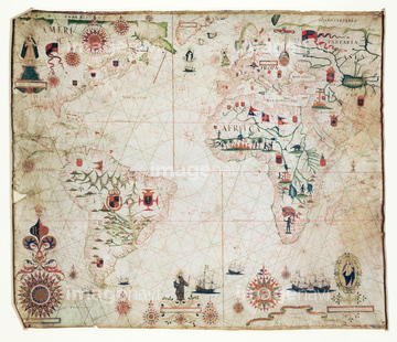
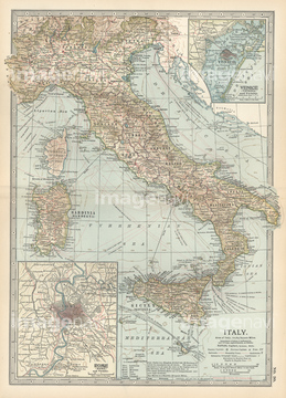
‚±‚جŒںچُŒ‹‰ت‚ة‚حپAMap of Olympia, GreeceپAMap Of YorkshireپAMap of Rome and Old ItalyپAMap of Germany in 1815پAEthnographic Map of Europe 1848پAMap of East Coast of Canada, 1745‚ب‚ا‚ھٹـ‚ـ‚ê‚ؤ‚¢‚ـ‚·پB
53133041

53133051
53133200
53134545
53133050
53133097

64083449


51421621
52210909

53132940

53133038
53133032

51422839

51422840

51422841

51422842

51422843
51913056

53134494
53133052

51422942

51422943

51422944

51459589
52310871

51422887

51436264

64083420

64083504


51460235
64116814
64248562
64248563
51435955
51435951
52300413
17200242
51462494
51453243
51453244

51421890

51436058

51436064

51436261


51436265


51436268


51436271


51436273


51436278


51436280
51436281
51436294
51417168
51417192
51417171
64089074
51417164
53107312
51417160
64089082

51417199
52311858
64088155
51417165
64116818

64116815
64082681
64082688
64082945
64083095

64052691

51421923
64083474
64083475
64083476
64083477
52304687

51421877

51421879

51421880

51421883

51421884

51421885

51421888

51421889

51421891

51421894

51421895

51421896

51421897

51421898

51421899

51421900

51421901

51421902

51421904

51421905

51421906

51421916

51421921

51421922

51422156
51422878
51417148
51417149
51417150
51417178
51417182
51417184
51417190
51417194
51417285

51421882
51421892

51421907
51421908

51421919

51424030

51424032
51417163
| ژںƒyپ[ƒW |
