HOME > ژتگ^ > ڈو‚蕨پEŒً’ت > Œً’تƒCƒپپ[ƒW > ’nگ}
10,000Œڈ‚جژتگ^‘fچق‚ھŒںچُ‚³‚ê‚ـ‚µ‚½پB
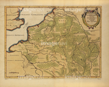
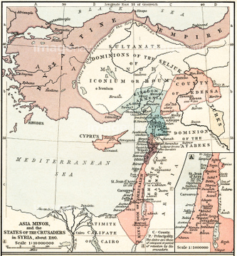
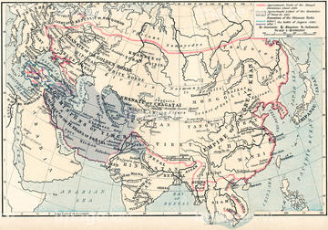
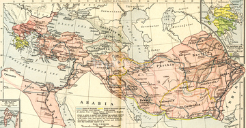
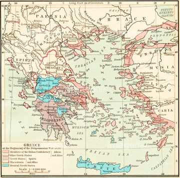
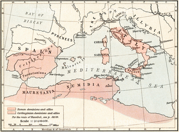
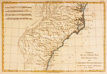
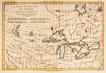
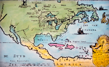
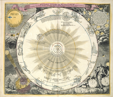
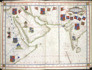
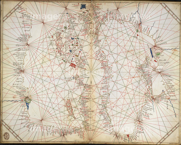
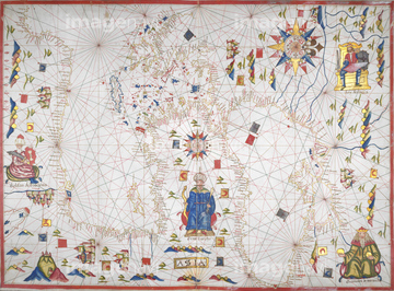
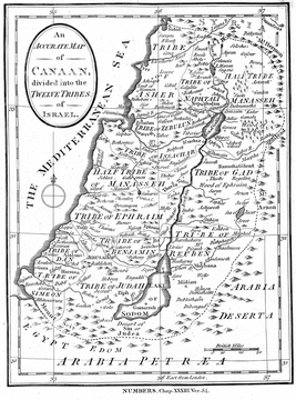
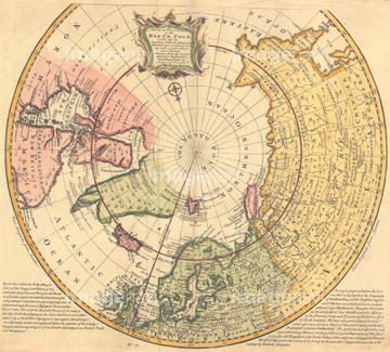
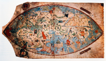
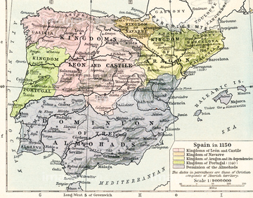
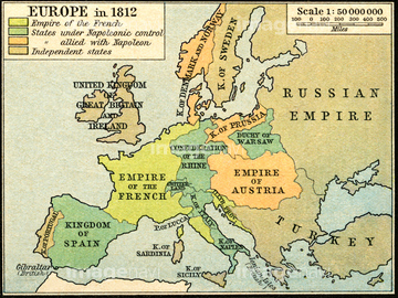
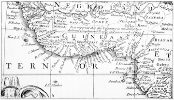
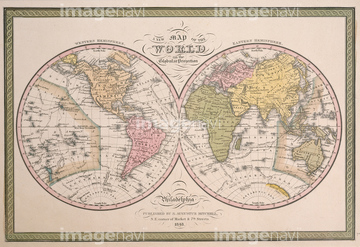
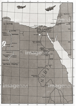
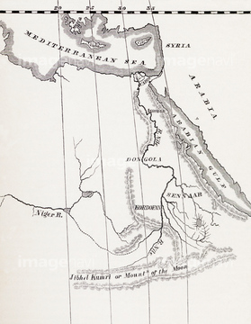
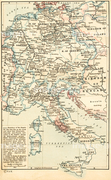
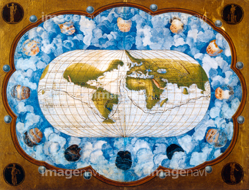
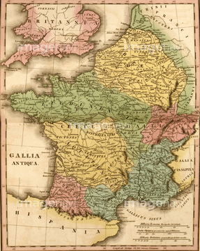
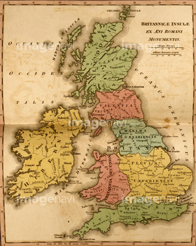
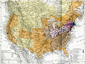
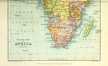
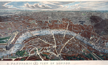
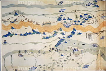
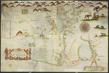
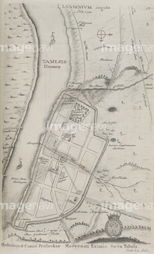
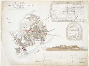
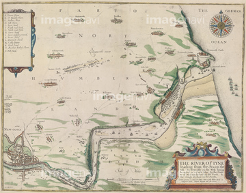
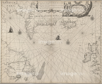
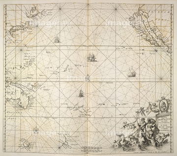
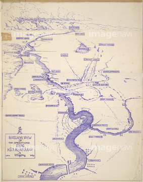
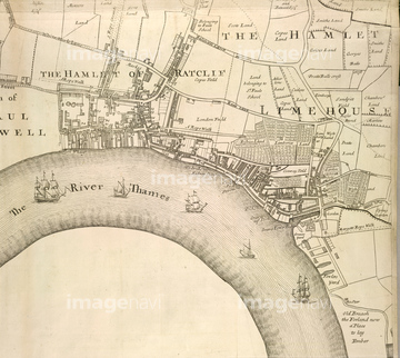
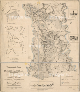
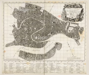
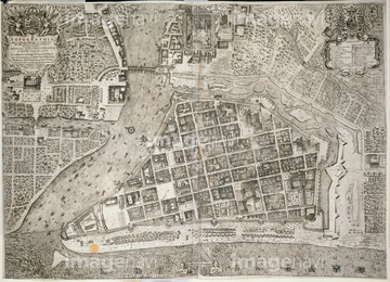
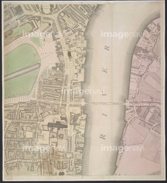
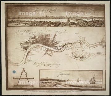
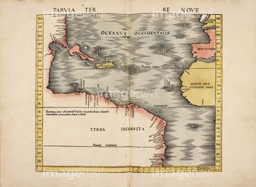
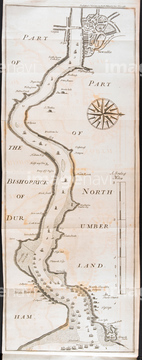
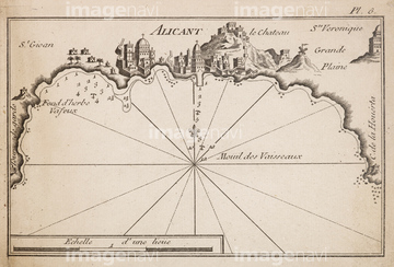
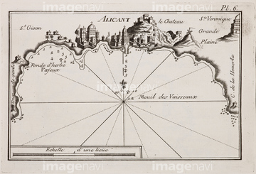
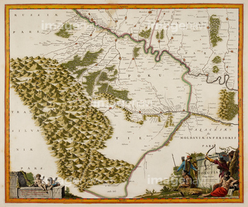
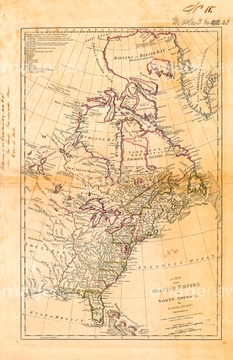
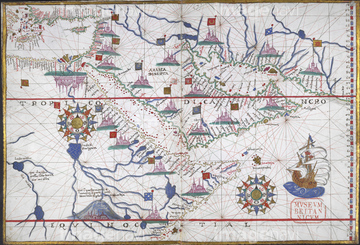
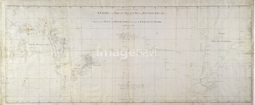
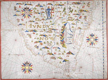
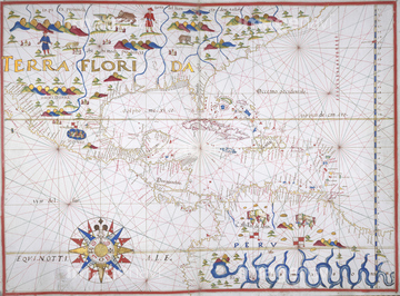
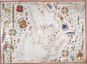
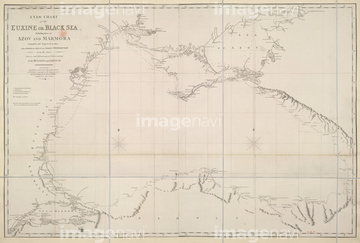
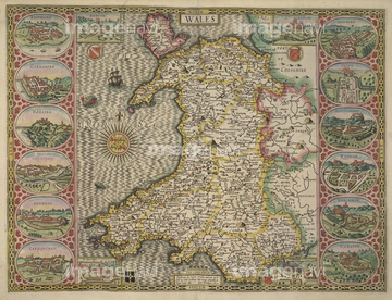
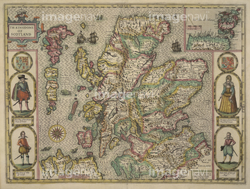
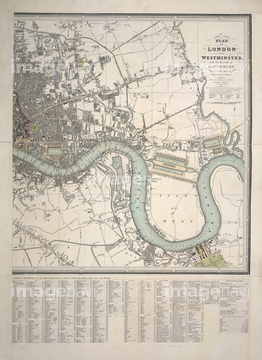
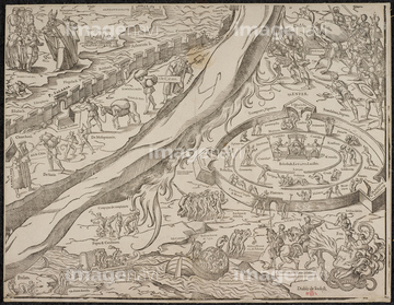
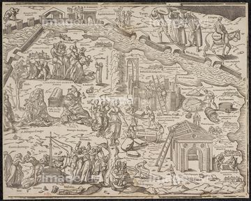
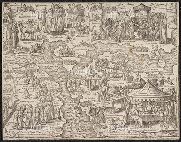
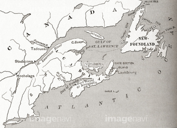
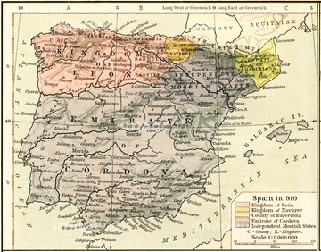
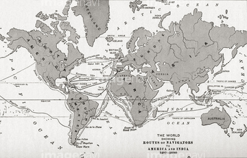
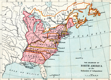
‚±‚جŒںچُŒ‹‰ت‚ة‚حپAMap of Spain in 1150, showing the kingdoms of LeonپcپAMap of Europe in 1812پAMap of Guinea Coast, Africa, circa 1700پAMap of the World, 1848پAMap of East Coast of Canada, 1745پAMap of Terrae Del Evogo Pars‚ب‚ا‚ھٹـ‚ـ‚ê‚ؤ‚¢‚ـ‚·پB
53134545

51422842

53133050

64083449


53133032
64082681
64082688
64082945
64083095
51462494
52304687

51421591
53133041
53133051
53133097
53133200
52210909

64083420

64083504


51422839

51422840

51422841

51422843
53134494
51460235

53133038
51913056
51435946
51435950
51435955
64248562
64248563
53133052

51422156
51422878
64082652
64082657
64082699
64082774
64082794
64082803
64082902
64082934
64082950
64082953
64082958
64082981
64083015
64083017
64083020
64083035
64083168
64083171
64083294
64083304
64083305
64083308
64083380
64083389
64083415
64083444
64083445
64083464
64116818
64082673
64082678
64082687
64082691
64082697
64082707
64082814
64082933
64083009
64083010
64083019
64083024
64083033
64083092
64083093
64083094
64083117
64083159
64083160
64083179

51421621
51461477
51439358
51439359
51439360
51903555
51904423
64083039
64083112
64083124
64083126
64083127
64083150
64083151
64083474
64083475
64083476
64083477
64083494
64083496
64121633
64053495
53107312


51422887

51422942

51422943

51422944


51459589


51436058

51436064

51436261


51436264

51436265


51436268


51436271


51436273


51436278


51436280
51436281

| ژںƒyپ[ƒW |
