HOME > ژتگ^ > ڈو‚蕨پEŒً’ت > Œً’تƒCƒپپ[ƒW > ’nگ}
10,000Œڈ‚جژتگ^‘fچق‚ھŒںچُ‚³‚ê‚ـ‚µ‚½پB
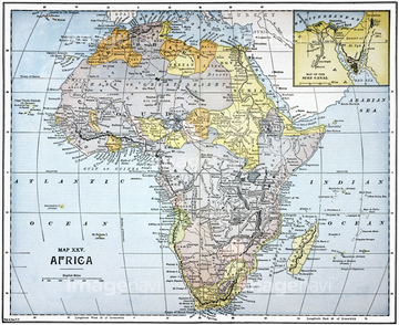
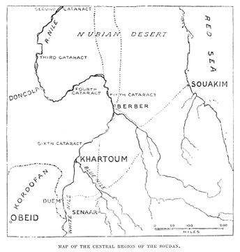
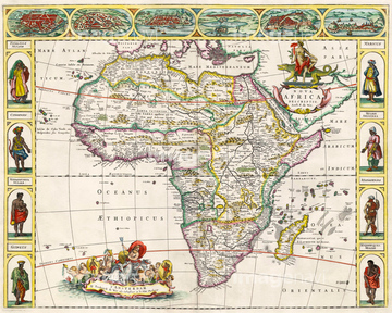
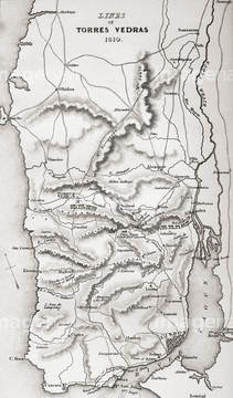
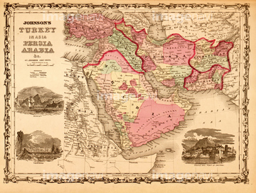
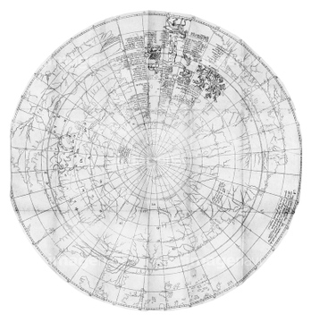
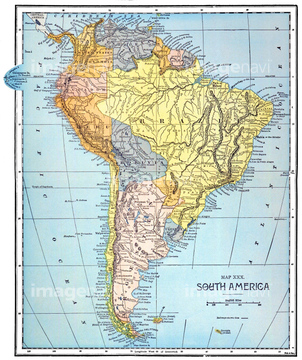
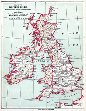
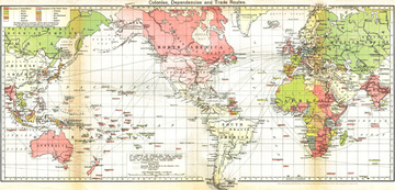
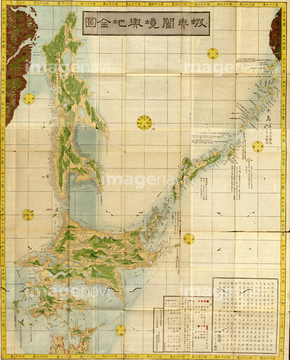
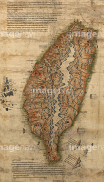
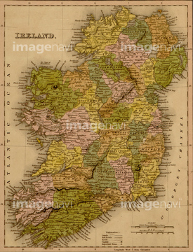
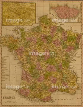
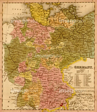
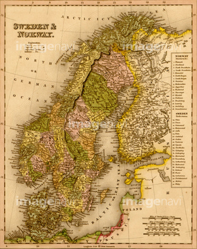
‚±‚جŒںچُŒ‹‰ت‚ة‚حپAMAP: MOMBASA, 1888.پAMap Of Africa In The 17Th CenturyپAMap Of The Lines Of Torres VedrasپAIsrael & Solomon's Temple 1659پAMitchell Map of India, Tibet, China and Southeast پcپAMap Of Europe After The Peace Of Tilsit In 1807‚ب‚ا‚ھٹـ‚ـ‚ê‚ؤ‚¢‚ـ‚·پB
53137355
51489931

51916520
51913568

64055078
51904239

51422780
51902260

51462951
51466437
51435904
51436132
51436142
51916519


51422778

51435838
51914486

64055077
51430884
51903242
51430889
52311858
51422779
51435521
53137336


64149791
51435876
51481113
51436139

51436651

51436216
51422776
64217857
51920054

51914090
51457826
51459280

51436137

64052655

64052692

51436129

51436130

51465987
51468765
51937958
51906159
51480920
51435907
51435909
51436320
51436322

51436349
51436355
51435830
51904929
51904034
51472415
30038110
51900831
51906140

51422774
51457910
51417096

51458068
51458069
51458070
51458071
51458073
51458074
51916504
51904282
51906139

51435908
51436354
51435563
51904147
51904281
30038111

51436143
51417178
51902648
51459580
51435768
51492538
51436298
51436829
51914388

51436278

51912769
51914539
51919869
51459551
51484968
51905714
51911501
51458251
51910938
51470323
64071688
51472322
51480039

64082664


51435525
51435547
19604522
19601691
51464406


64055081
51482580


51435778


51435856
51460235
51435859
51435867
51435870

51435872

51435873
51435879
51435883
51435885
51435889
51435890
51435891
51435892

51435894
51435895
51435896
51435897
51435903
51435911
51435912
51436001
51436059
51436073
51436081
51436083
51436084
51436085
51436088
| ژںƒyپ[ƒW |
