HOME > 写真 > 地図・衛星写真 > 衛星写真 > 典型地形
10,000件の写真素材が検索されました。
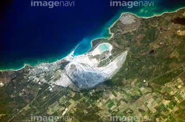
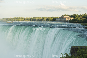
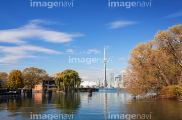
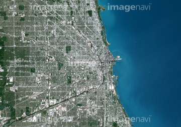
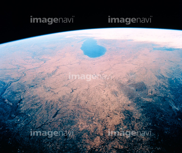
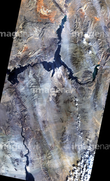
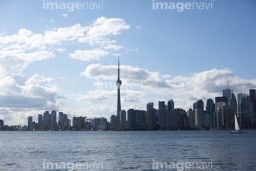
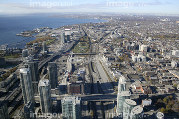
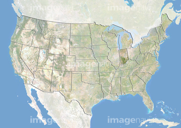
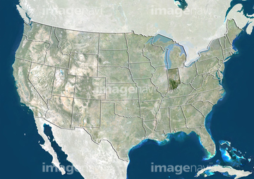
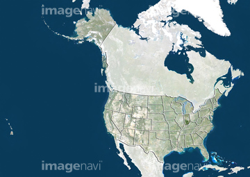
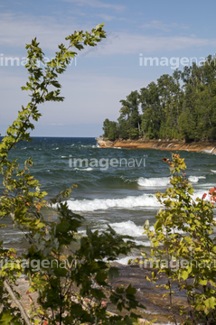
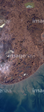
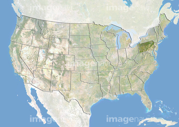
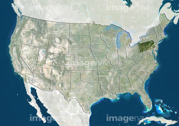
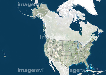
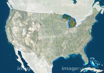
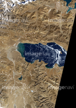
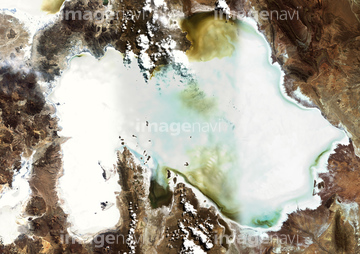
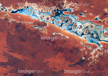
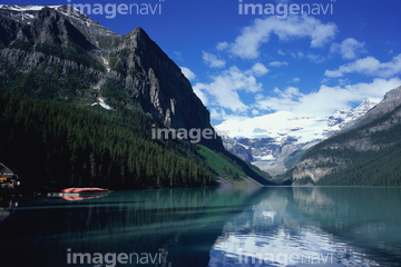
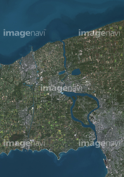
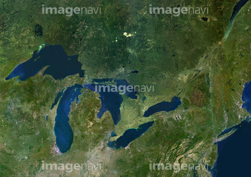
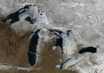
この検索結果には、セントクレア湖、ソルトン湖、トロントアイランドとCNタワー、ミード湖(アメリカ合衆国)、オタワ、ビルの影とミシガン湖などが含まれています。
63031065
40089701
40089704
40089702
40089703
63031098
64029188
70460426
70460427
63031672
63030108
10123720
19285722
30392730
41266607
41266608


63031056
63031711
63031079
63031080
63031081
63031096
63030708
63031594

63031723
63031724
63031545
63030899
63030900
63031110
63031366
63031584
64015639
00008397
30404375
30401234
70006761
70006766
40909067
40909068
63031071
63031111
63031354
19375236
63031710

64213211
63030005
63031367


30329075
64008743
64026398
64026399


63031100
63031097
63030523
63031064
30036617
63031546
63030669

51918806
63031866
51982771
63030393
10020356
50128430
70063733
64219488
64219489
30338004
64213208
64213209
64213210


63031092

63030050
63031361
63030242
63030883
64008740
64016964
99046009

10106402
10106403
10106404
10106405
10106406
10106438
10106418
10106449
30338008
63030521
63030712
63030914
63030076
63030313
63030395

63030807
63030867
63031337
63031676
63031677
10164822
10164823
40909054
40909107

64016257
63031769
52231906
52231907
52231908
30080921
| 次ページ |
