HOME > 写真 > 自然・風景 > 宇宙 > 地球
10,000件の写真素材が検索されました。
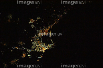
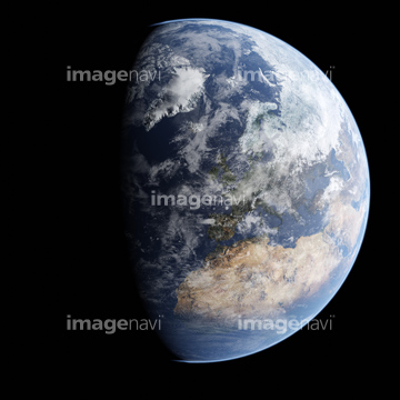
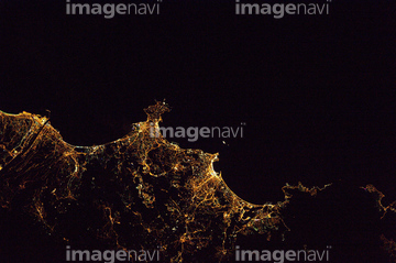
この検索結果には、Human presence over Earth at night、North America from space、South America from space、Australia from space、Human presence over Europe and Africa、North America, satellite imageなどが含まれています。
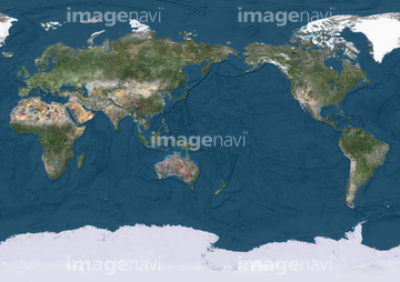
64011195
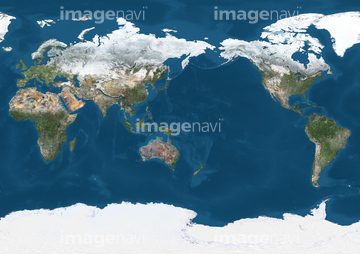
64011219
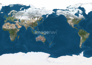
64011204
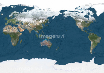
64011187
64011190
64011191
64011193
64011196
64011197
64011208
64011212
64011213
64011198
64011194

64014672
64078181

64074360
53112884
53112885
53112886

53112887
53112888
53112889
53112890
53112891

64053372
64014696
64014697
64014698

64053561
64059209

64053256

64053257

64053258

64053259

64053260

64053368

64053369

64053371

64053385
64053386
64053473
64053474


64011214

64011231
64053694
64014673
64014674
64014675
64014676
64014677
64014678


64053684
64083581

64083582

64053686

64073666

64074418

64074420

64074421

64074422

64074424

64074902
64072833
64072834

64014700
64053486
64053487
64053488
64053489
64053490
64053491
64259491
64014712
64053724

64074792
64078210

64040177

64040178


64048954
64048955
64048956
64048957
64048958
64049175
64049177
64049179
64049181
64049183
64049185
64049197
64049203
64049220

64040012

64040015

64040204
30369201

64011230

64011203

64011215

17200234

64041345
64077344
64077345
64077346
64075202
64078856
64058834
64203011
64203019
64203021
64203022
64203023
64073667

64053315

64073664
64081457
64081459

17200250

64086443
64094267
64094269
64094283

64254515
64252846

64043655
64043656
64043657
64043658
64043659
64043660
64043661
64048952
64048953
64048959
64048960
64048961
64049174
64049176
64049178
64049180
64049182
64049184
64049196
64049198
64049202
64049204

64040203
64014715

64062175

64043083

64043123

64066108

64066109

64066110

64066111


64066113


64067274

64067275

64067276

64067277


64067279


64067295


64067805

64074793

64011229
| 次ページ |
