HOME > 写真 > 自然・風景 > 宇宙 > 惑星
10,000件の写真素材が検索されました。
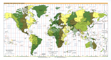
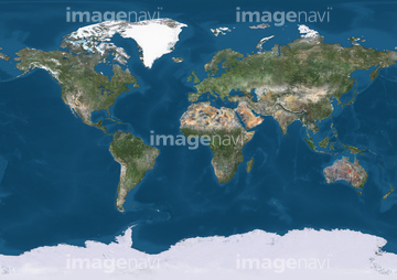
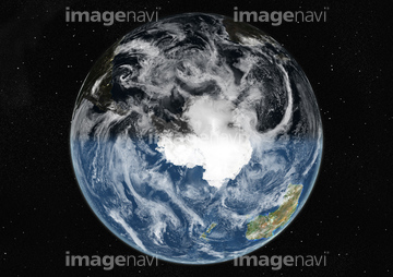
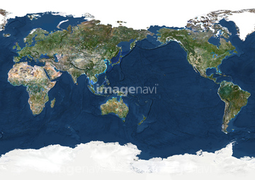
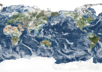
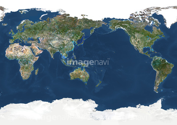
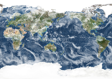
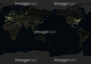
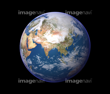
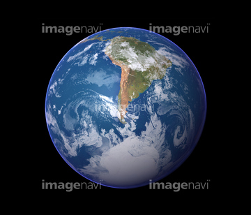
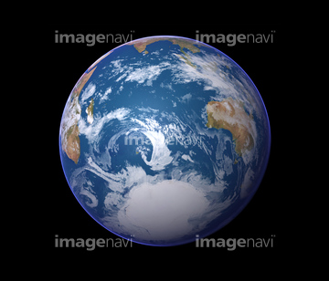
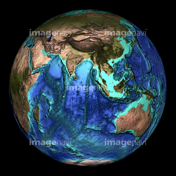
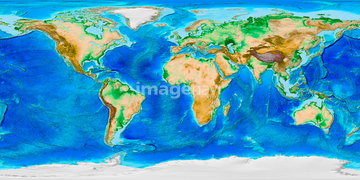
この検索結果には、Globe Centred On The South Pole, True Colour Satel…、Whole Earth Centred On Pacific Ocean, True Colour …、Whole Earth At Night Centred On Pacific Ocean, Tru…、地球、World cities, global map、地図と地球などが含まれています。
64014717
64063098
53112884
53112885
53112886

53112887
53112888
53112889
53112890
53112891
21700034
64014733
64037990

64259577
64259578
64062718
64014672

64014120


64062174

64062175


19283243
64105961
21851768

64040177

64040178
64051874

51450290


64146819
21852887
11606271

64064274
64051929

30328014
40838939

40838940
40838947
40838949
40838950


64041345
64014673
64014674
64014675
64014676
64014677
64014678
64014696
64014697
64014698
64072833
64072834

64011229


30314030
64058834
64059742
64059743
64014707
64014712
64015578
52214253
64078181
64040662
64075202
17203846
19286465
19286466
12415609
19417291
31299721
31299727
30088326
31165144
31165145
41527872
41527873
41527874
41527876
41525478
41525479
41525480
41525653
31158531
31158532
41291401
40845723
| 次ページ |
