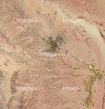
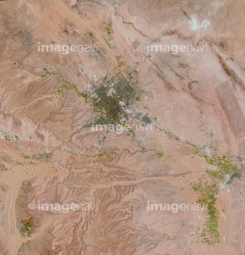
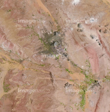
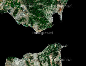
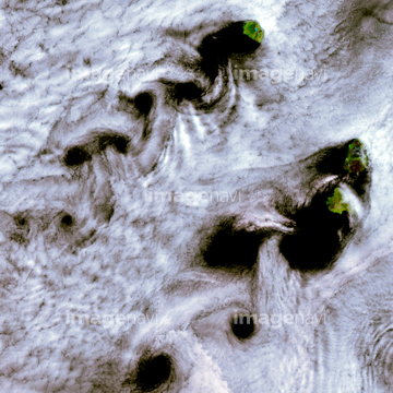
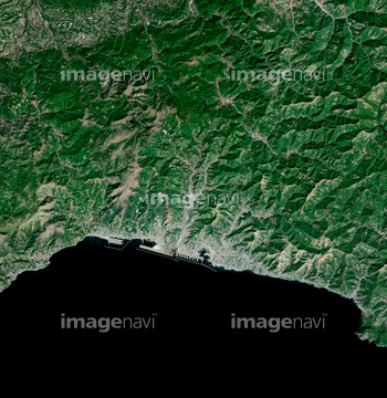
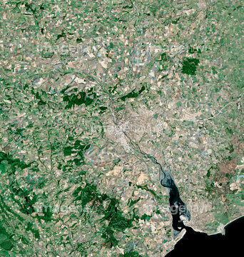
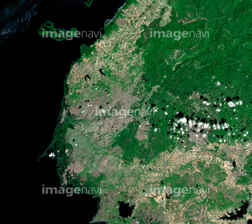
HOME > ژتگ^ > ڈو‚蕨پEŒً’ت > Œً’تƒCƒپپ[ƒW > ’nگ}
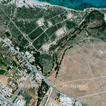
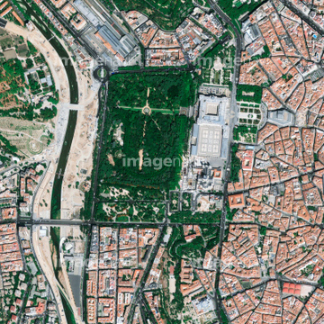
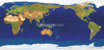
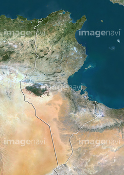
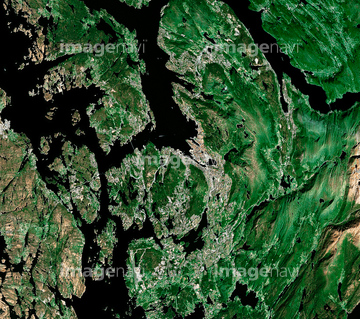
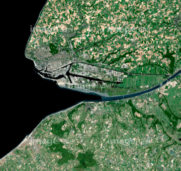
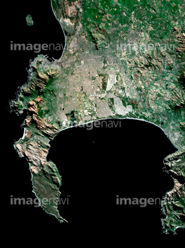
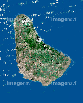
10,000Œڈ‚جژتگ^‘fچق‚ھŒںچُ‚³‚ê‚ـ‚µ‚½پB
‚±‚جŒںچُŒ‹‰ت‚ة‚حپAƒ‰ƒ“ƒhƒTƒbƒg‹مڈBپAƒ‰ƒ“ƒhƒTƒbƒgچL“‡Œ§پAƒ‰ƒ“ƒhƒTƒbƒgچL“‡ژsپAƒ‰ƒ“ƒhƒTƒbƒg’†ژlچ‘پAƒ‰ƒ“ƒhƒTƒbƒg‹ك‹E’n•ûپAƒ‰ƒ“ƒhƒTƒbƒg“ْ–{—ٌ“‡‚ب‚ا‚ھٹـ‚ـ‚ê‚ؤ‚¢‚ـ‚·پB

64014740

64014155

64014193

64014196


64016860

64016861
70571204


64060621

64016862
70571201
70571202
70571203

64065656

64014831

64074902

64014164

64163101

64220114

64016863


64014194


64053686

64016257
70289867

70571192
70571193
70571194
70571195

70571196
70571197
70571198

70571199
70571200
64016965

64016884
64014165
64014169
64014211
64014156
64014148

64012909
64014154
64014163
64026179
64026180
64154732

64016256

64014147
64014161
64014192
64014212
64067340

70571190
64014158

64016878
64065662

64065660
64011103
64037462
64014770

64014975

64014162
64016964


64105661
64016858

64067342

64067344

64075072

64075073
64014149
64014159
64014160
64014168
64014200
64243651
64016332

64010000

64010005
64014151
64014152
64014166

64011094

64011098
64011100
64015344
64015345
64011101
64011099


64057572
64014208

64014923
17200263


64015263
64011401


64009999
64010004
64010006
64013246
64013247
64014157
64014199
64012743
64045944
64045945
70571191


64100584

64146823
64146824
64146825
64146827

64146828
64146829

64075415
64026874

64210700


64210710

64102918

64139331
64244158
64244159

64014724
64014725
64014735
64014753


64065658
64009996
64011181

64009992
64013240
64013241
64014198
64016274
64009994
64010002
64011276
64015411
64016071
64017024
64088671
64151692
64151695
64159622

64098695

64139333
64139336
64139347

64263649
| ژںƒyپ[ƒW |
