HOME > 写真 > 地図・衛星写真 > 衛星写真 > 災害・気象現象
10,000件の写真素材が検索されました。
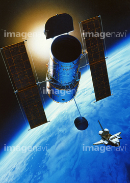
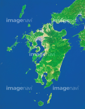
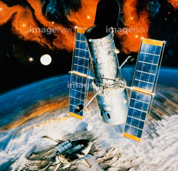
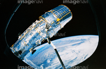
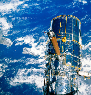
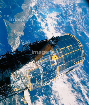
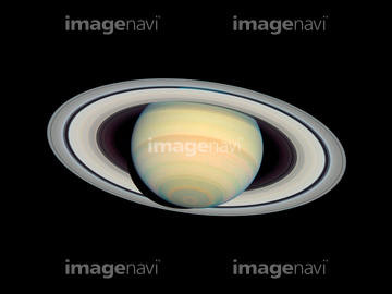
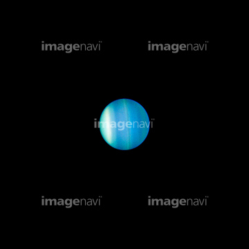
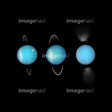
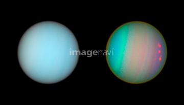
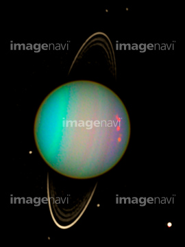
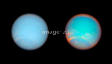
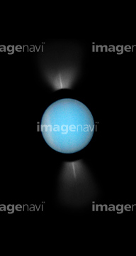
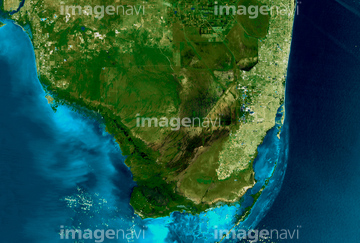
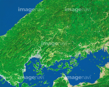
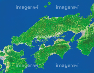
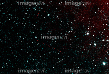
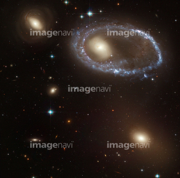
この検索結果には、ランドサット日本列島、ハッブル宇宙望遠鏡(NASA提供)、ランドサット九州、Saturn, March 2004, HST image、Clearwater Lakes, Canada、Shanghai, satellite photo, 2015などが含まれています。

64014831

64074902

64053686

64105661

64067342

64067344

64075072

64075073


64057572


70571190

64065656


64210710

64067343

64075415

64060621

64023166
64014770

64014975
17200263

64059203

64220114

64016860

64016861

64016862

64016884
64023045


64014740


64014670

64163101

64014923
64011198

64040012

64040015
99074193
64026179
64026180
70571204
64023337

64016257

64105663

64014155

64014193

64016863


64210700
64154732

64011214

64011231
64085608
64085609
64023451
64023466


64075588

64075590
20531877
20531883
20531887


64067805
64011208
64011212
64011213
70571202


64051876
64072306
64072307
64072308
64023461
64023479
64085610
64023450
64075416


64014196
64065660
64086680
64011103

64062373
64050565

64015263
64015487

64014702

64062175

64047887


64242042

64044426

64044427
64011101

64218473

64040204

64043083

64097599

64041390

64040011

64040016

64074792

64016965
70571201
70571203

64016256
64024341

64057571

64057574

64057614
64067340

64062174


64046391


64040203

64045766
64243651
64065662
17201583
17237537
17237540
64188116
64023476
64024131
64011204
99074114
99074115

64067341
64067518
64067524
64024793
64056807
64056808
64056809
64056810

64041383

64079056

64040007

64040010

64011215
64052716


64088728
64014960

64014715
64067523
64071961
64054809

64067330

64011490

64097570

64053325

64075837
64045944
64086683
64222522
64016858


64026874

70289867
70571192
70571193
| 次ページ |
